Plizio Visual Lab
Triesen Viewpoint 14

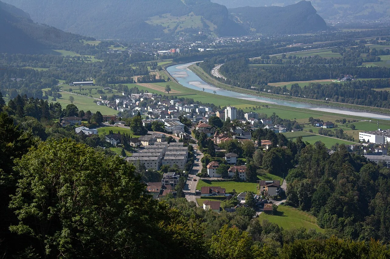
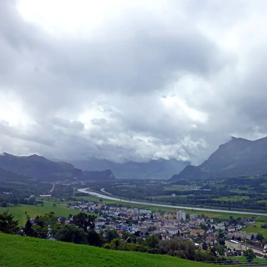
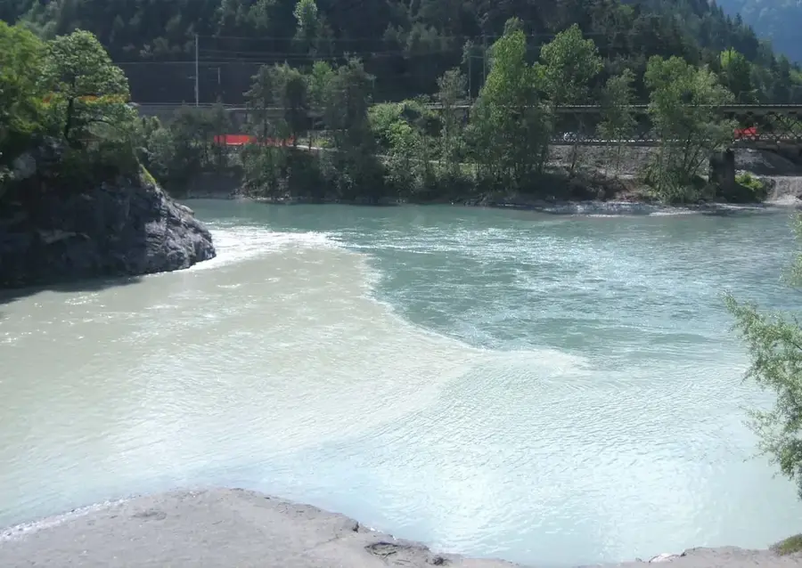
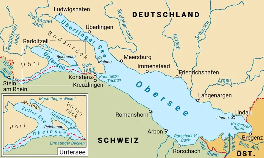
The viewpoint in Triesen features one of the most impressive panoramic views over the Principality of Liechtenstein and the adjacent Swiss Rhine Valley. From this elevated position, the striking contrasts between the urban development in the valley and the untouched alpine world can be clearly recognized. Triesen itself is known for its historical Oberdorf, which has preserved the charm of past centuries with its narrow streets and traditional houses. The viewpoint often serves as a starting point for hikes towards Tuass or the Kulm, where visitors can study alpine vegetation at close range. Particularly in clear weather, the view extends far north to Lake Constance and south deep into the Bündner Herrschaft region. The geological composition of the slopes near Triesen bears witness to massive landslides in prehistoric times, which gave the terrain its present-day form. For photographers and nature lovers, this location is a rewarding destination in any season to observe the interplay of light and shadow on the mountains.
- Location: Liechtenstein
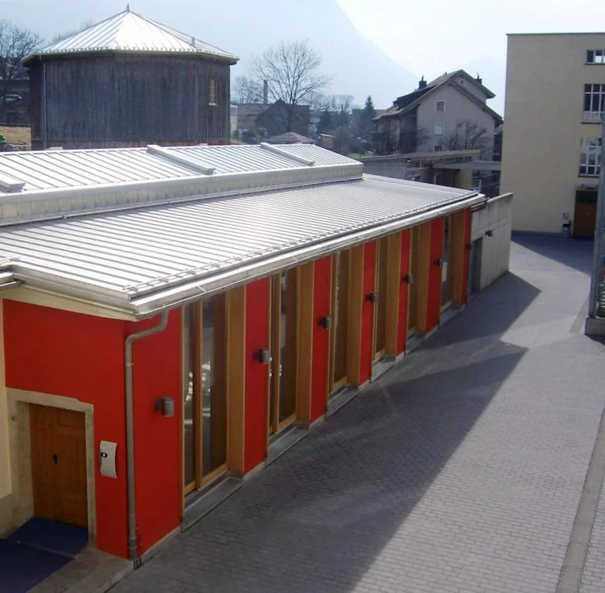
- Top sights: Gasometer Kulturzentrum Triesen · Kulturzentrum Gasometer · Sankt Mamerten
- Nearby: Steg (4 km)
Best time to visit & climate
The most pleasant time to visit is Jul–Sep.
| Jan | Feb | Mar | Apr | May | Jun | Jul | Aug | Sep | Oct | Nov | Dec | |
|---|---|---|---|---|---|---|---|---|---|---|---|---|
| Avg °C | -6 | -5 | -1 | 4 | 8 | 13 | 14 | 14 | 10 | 6 | 0 | -4 |
| Rain mm | 92 | 70 | 91 | 93 | 147 | 173 | 169 | 185 | 121 | 103 | 91 | 93 |
📋 Practical info
Geography
Facts
- Triesen is the third largest municipality in the country by area.
- The viewpoint offers a view of the 2,599-meter-high Grauspitz peak.
- The municipality was a center of the textile industry in the 19th century.
- The historical Oberdorf is partially under heritage protection.
- The nearby St. Mamerta Chapel dates back to the 9th century.
- The elevation drop from the Alps to the Rhine is over 2,000 meters here.
Explore nearby
Notable places around
Route planner — Car & Motorhome
Where do you start? We build the route here, with stops and country notes along the way.
© OpenStreetMap contributors · OpenRouteService
Sights in the town Triesen Viewpoint 14 (10)
Lama- & Alpakahof Triesenberg
Farm with llamas and alpacas in Triesenberg.
Naturschutzgebiet Matilaberg
Protected area at Matilaberg in Liechtenstein.
Naturschutzgebiet Triesner Heilos
Nature reserve in Triesen, Liechtenstein.
Bad Vogelsang
Ruins of a former bath or building.
Heimatmuseum🏛 museum
Museum of local history and culture.
Walsermuseum🏛 museum
Local history museum on the culture of the Walser in Triesenberg, Liechtenstein.
Sights nearby
Frequently asked questions
How high is this viewpoint located?
Is the path there steep?
Can you drive up to the viewpoint?
Is there a telescope/binoculars on-site?
What is special about the view?
Triesen Viewpoint 14: where is it located?
Triesen Viewpoint 14: what is there to see?
Triesen Viewpoint 14: when is the best time to visit?
Triesen Viewpoint 14: why is it worth visiting?

History & landmarks
Nature

More places