Plizio Visual Lab
Triesenberg Forest

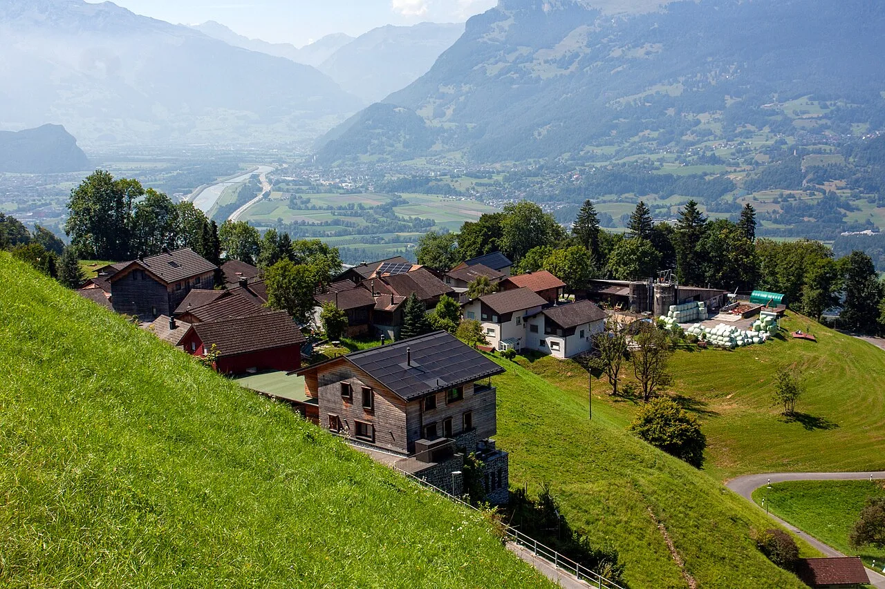
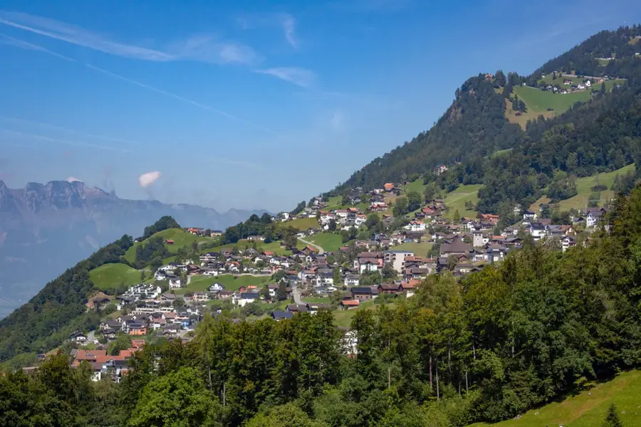
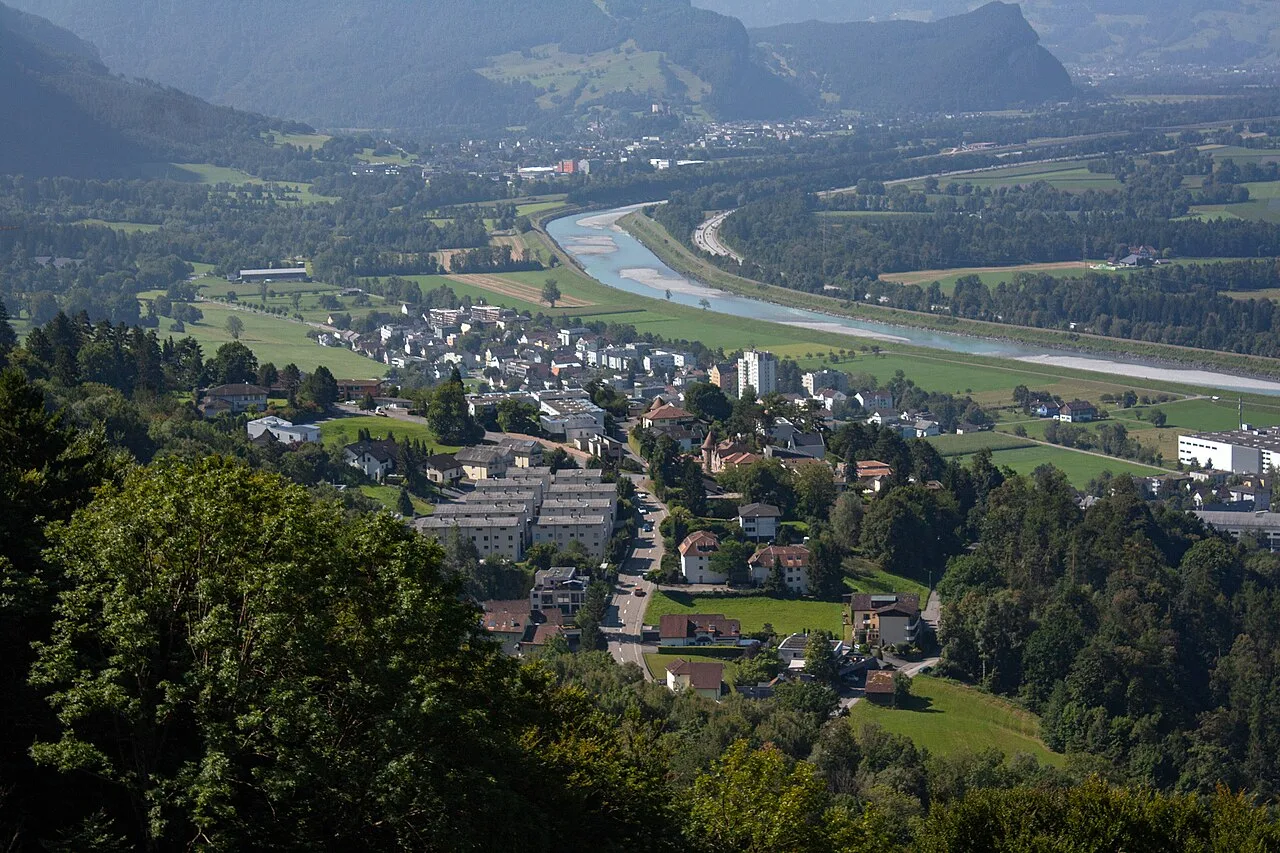
The forest of Triesenberg is a characteristic high-mountain ecosystem deeply rooted in the culture and history of the Walser settlers. Geographically, the area extends over steep slopes between 800 and 1600 meters in elevation, forming the transition from the Rhine Valley floor to the alpine mountain peaks. Historically, the forest was a vital source of building material and fuel for the Walser people, who immigrated from Valais in the 13th century and settled these demanding high elevations. Today, the forest primarily serves as a protective forest, shielding the scattered hamlets of Triesenberg from avalanches and mudslides. The vegetation is dominated by spruce, fir, and larch, with the species composition varying as altitude increases. Numerous hiking trails, such as the famous Legend Trail (Sagenweg), lead through dense forest areas, offering occasional views of Vaduz Castle and the Swiss Rhine Valley opposite. Forest maintenance is highly demanding due to the steep terrain and is sometimes carried out with the assistance of helicopters or cable crane systems.
- Location: Liechtenstein
- Top sights: Lama- & Alpakahof Triesenberg · Erichs Bildergalerie · Sankt Mamerten
- Nearby: Mitteldorf (4 km)
Best time to visit & climate
The most pleasant time to visit is Jul–Sep.
| Jan | Feb | Mar | Apr | May | Jun | Jul | Aug | Sep | Oct | Nov | Dec | |
|---|---|---|---|---|---|---|---|---|---|---|---|---|
| Avg °C | -6 | -5 | -1 | 4 | 8 | 13 | 14 | 14 | 10 | 6 | 0 | -4 |
| Rain mm | 92 | 70 | 91 | 93 | 147 | 173 | 169 | 185 | 121 | 103 | 91 | 93 |
📋 Practical info
Geography
Facts
- The Walser people settled the area above Triesen starting around 1280.
- The forest protects Liechtenstein's highest municipality from natural hazards.
- The tree line in this region is situated between 1800 and 1900 meters.
- The Legend Trail passes through historical sites of Walser folklore.
- Parts of the forest are designated as a reserve for the rare western capercaillie.
- Triesenberg is the largest municipality in Liechtenstein by land area.
Explore nearby
Notable places around
Route planner — Car & Motorhome
Where do you start? We build the route here, with stops and country notes along the way.
© OpenStreetMap contributors · OpenRouteService
Sights in the town Triesenberg Forest (10)
Pfarrkirche Sankt Josef
Catholic church in the Principality of Liechtenstein, dedicated to Saint Joseph.
Walsermuseum🏛 museum
Local history museum on Walser culture in Triesenberg, Liechtenstein.
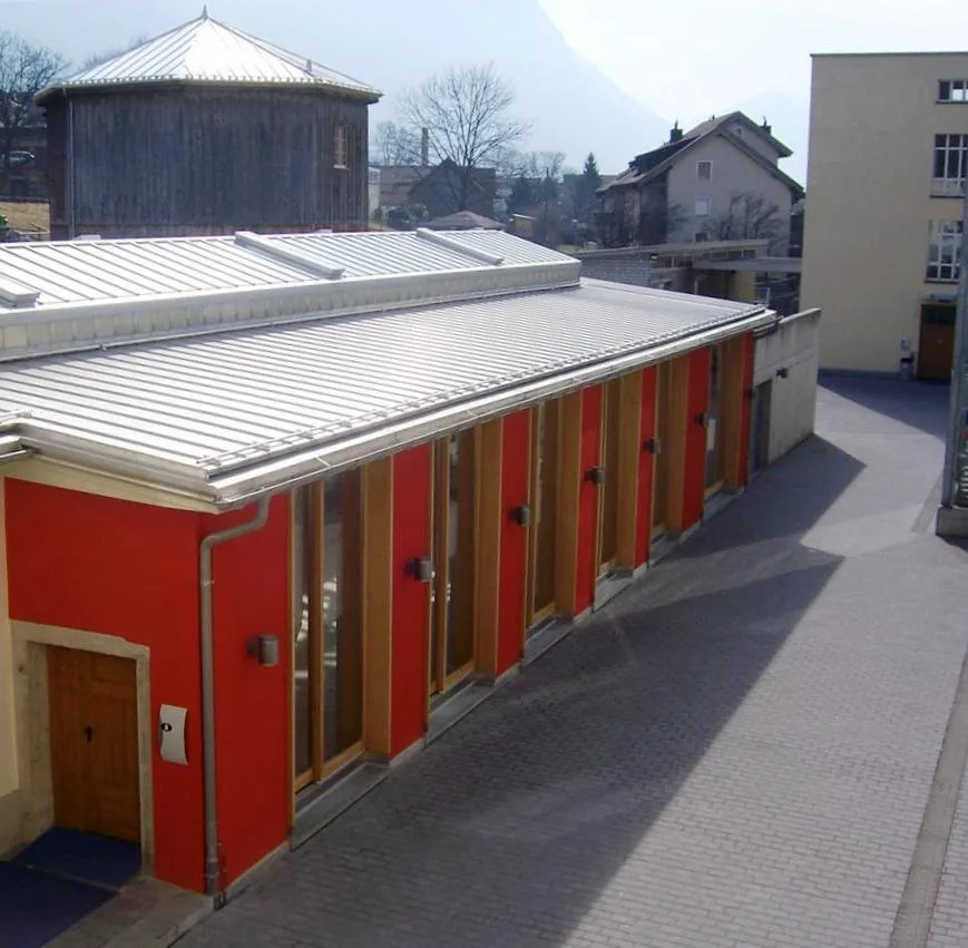
Gasometer Kulturzentrum Triesen🏛 museum
Cultural center in Triesen, hosting events and exhibitions.
Kulturzentrum Gasometer
Cultural center in Triesen, offering concerts, theater, and workshops.
Chrüppel
Mountain peak in Liechtenstein, a destination for hikers.
Bad Vogelsang
Ruins of a former bath in Triesen, remnants of the past.
Sights nearby
Frequently asked questions
Is the forest accessible in winter?
Are there steep inclines on the trails?
Is fire making allowed in the forest?
Are there forest playgrounds for children?
Can you see wild animals there?
Triesenberg Forest: where is it located?
Triesenberg Forest: what is there to see?
Triesenberg Forest: when is the best time to visit?
Triesenberg Forest: why is it worth visiting?

History & landmarks
Nature

More places