Plizio Visual Lab
Jebel Soda Mountains

Weather…
Water temperature…
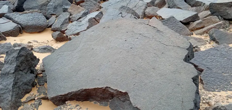
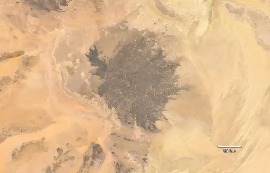
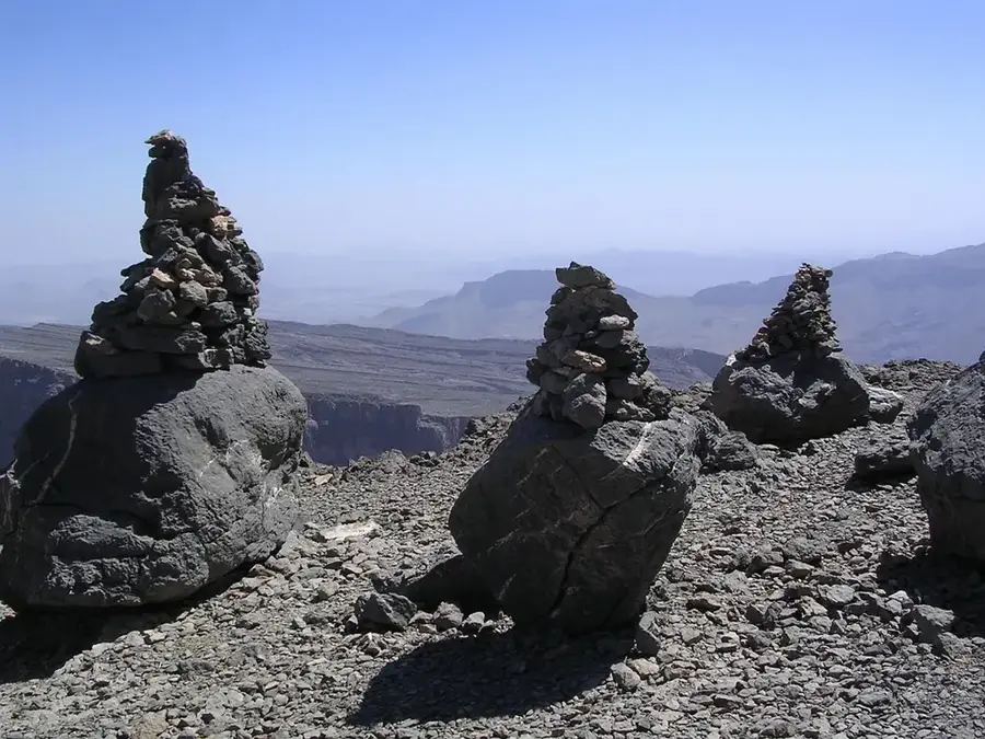
The relief of Jebel Soda, positioned in the geographic center of Libya, is a striking example of extensive basaltic volcanism within the Saharan shield. It forms a broad upland plateau punctuated by numerous volcanic cones and solidified lava flows that rise significantly above the surrounding sand and gravel plains. The highest peak reaches approximately 844 meters, serving as a prominent landmark in an otherwise level desert environment. Geomorphologically, the range is defined by sharp escarpments, dark talus slopes, and deep erosion gullies created by the mechanical weathering of basalt. This dark rock surface absorbs intense solar radiation, leading to exceptionally high surface temperatures during the day. The massif acts as a natural physiographic boundary between the Mediterranean coastal regions to the north and the Fezzan basin to the south. The topographical complexity of Jebel Soda has historically influenced trans-Saharan caravan routes, providing both navigational obstacles and rare shelter from sandstorms.
- Location: Libya
- Nearby: Waddan (82 km)
Best time to visit & climate
The most pleasant time to visit is Apr, Oct, Nov.
| Jan | Feb | Mar | Apr | May | Jun | Jul | Aug | Sep | Oct | Nov | Dec | |
|---|---|---|---|---|---|---|---|---|---|---|---|---|
| Avg °C | 10 | 12 | 17 | 22 | 26 | 29 | 30 | 29 | 28 | 23 | 17 | 12 |
| Rain mm | 6 | 5 | 5 | 2 | 1 | 0 | 0 | 0 | 2 | 5 | 3 | 7 |
📋 Practical info
Geography
Facts
- The Jebel Soda massif covers an estimated area of about 15,000 square kilometers.
- The highest summit in the volcanic range reaches 844 meters above sea level.
- The mountains are composed almost entirely of dark, extrusive basaltic rock.
- Geologically, it belongs to the larger Cenozoic volcanic province of North Africa.
- Surface temperatures of the dark rocks can exceed 70 degrees Celsius in direct sunlight.
- It is a textbook example of an inner Saharan plateau (hammada) topped by volcanic peaks.
Explore nearby
Notable places around
Route planner — Car & Motorhome
Where do you start? We build the route here, with stops and country notes along the way.
© OpenStreetMap contributors · OpenRouteService
Sights nearby
Frequently asked questions
How high is the highest point in Jebel Soda?
Are the slopes very steep?
Can you go cycling there?
Does the relief offer protection from wind?
How do you navigate in Jebel Soda?
Jebel Soda Mountains: where is it located?
Jebel Soda Mountains: when is the best time to visit?
Jebel Soda Mountains: why is it worth visiting?