Plizio Visual Lab
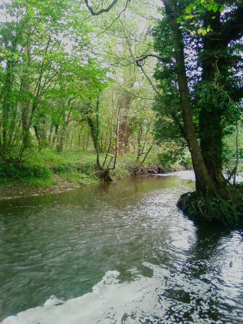
Lave River
Weather…
Water temperature…
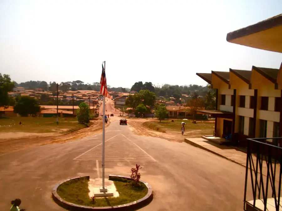
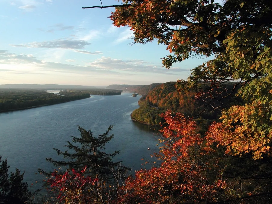
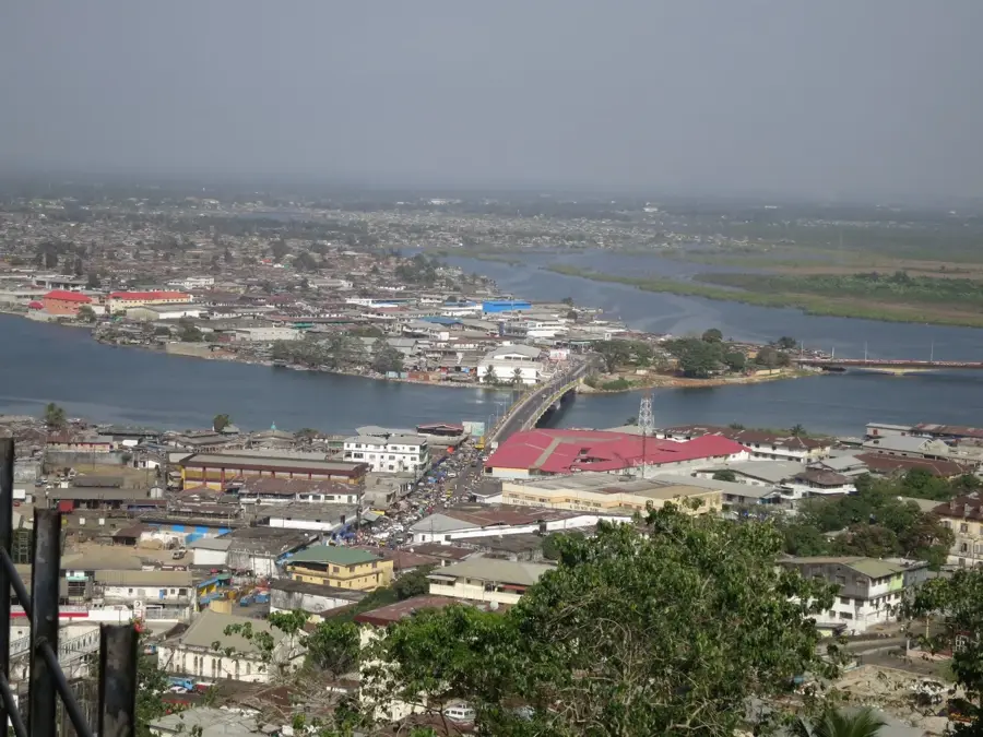
The Lave River is a characteristic feature of Liberia's water-rich coastal plains, flowing gently through the flat, tropical terrain before reaching the Atlantic Ocean. The river meanders through a landscape dominated by lush secondary forests and swampy wetlands, which are critical habitats for a diverse range of flora and fauna, including various bird species and aquatic life. In a country where heavy rainfall is the norm, the Lave River plays a vital role in draining the coastal lowlands, and its seasonal floods enrich the surrounding soil. For the local communities scattered along its banks, the river is a vital lifeline, providing a source of fresh water and fish. In regions where roads are often impassable during the rainy season, the river serves as a crucial transportation artery for small boats and traditional dugout canoes. Its tranquil waters and the surrounding greenery reflect the pristine natural beauty of rural Liberia, offering a glimpse into an ecosystem that remains largely untouched by large-scale development, maintaining the delicate ecological balance of the West African coast.
- Location: Liberia
- Nearby: Marshall Fishery Center (32 km)
Best time to visit & climate
The most pleasant time to visit is Jan, Feb, Dec.
| Jan | Feb | Mar | Apr | May | Jun | Jul | Aug | Sep | Oct | Nov | Dec | |
|---|---|---|---|---|---|---|---|---|---|---|---|---|
| Avg °C | 27 | 27 | 28 | 28 | 28 | 27 | 26 | 26 | 26 | 27 | 27 | 27 |
| Rain mm | 12 | 25 | 45 | 62 | 113 | 212 | 185 | 287 | 224 | 196 | 84 | 42 |
📋 Practical info
Geography
Facts
- Length: 60 km
- Basin area: 400 km²
- Mangrove area: 10 km²
- Fish species: 20
- Discharge: 5 m³/s
- Distance to Greenville: 5 km
Explore nearby
Notable places around
Route planner — Car & Motorhome
Where do you start? We build the route here, with stops and country notes along the way.
© OpenStreetMap contributors · OpenRouteService
Sights nearby
Frequently asked questions
When is the best time to visit the Lave River?
Are there guided boat tours on the river?
What animals can be seen along the riverbanks?
Is fishing allowed in the Lave River?
How deep is the river on average?
Lave River: where is it located?
Lave River: when is the best time to visit?
Lave River: why is it worth visiting?

Nearby cities


History & landmarks
Nature
More places