Plizio Visual Lab
Monrovia Lowlands
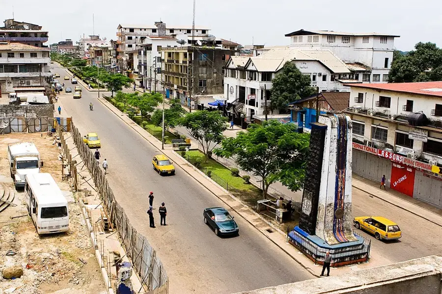
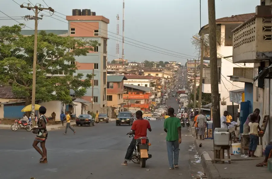
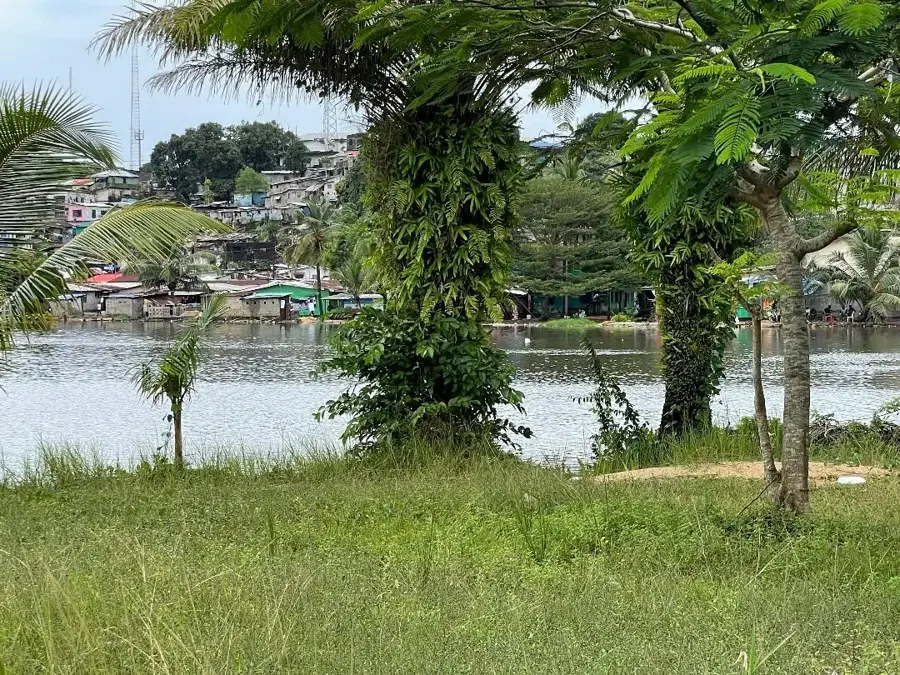
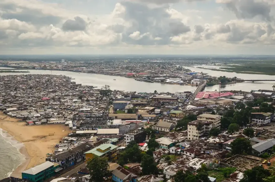
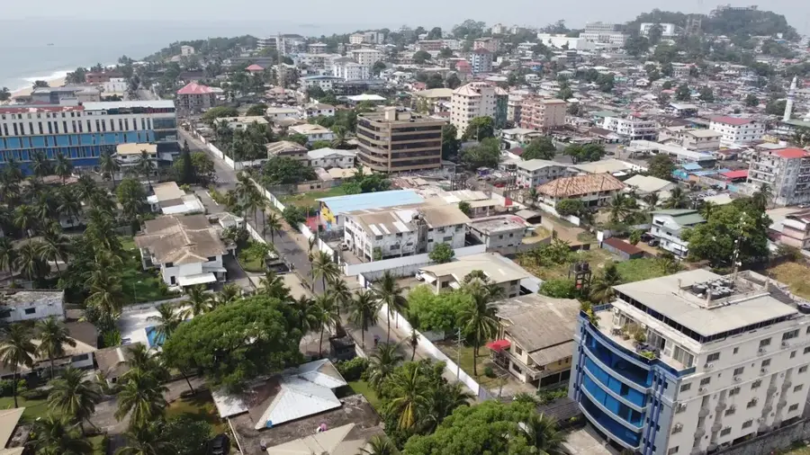
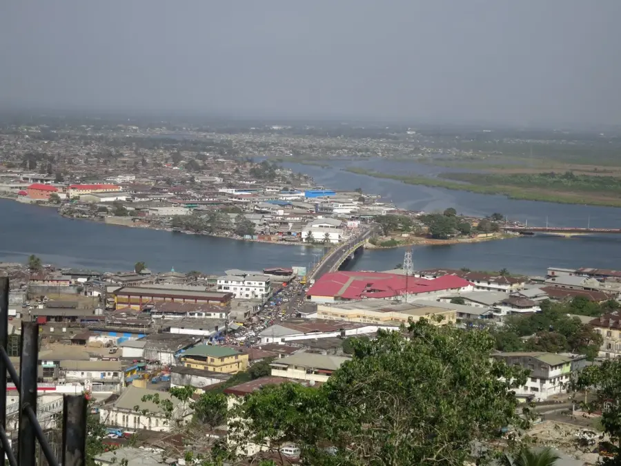
The Monrovia Lowlands constitute a vital segment of Liberia's coastal shelf, encompassing the capital city and its immediate surroundings. This geographic region is defined by its low-lying, undulating terrain, which rests just above sea level. The landscape is heavily influenced by its proximity to the Atlantic Ocean, featuring an intricate network of lagoons, creeks, and mangrove swamps that characterize the West African coastline. These lowlands were formed by centuries of alluvial deposits from major rivers like the Saint Paul, creating a sandy and often waterlogged environment. Historically, the relief of the area forced the development of Monrovia onto higher ground, such as the rocky prominence of Cape Mesurado, while the surrounding lowlands remained as natural floodplains. Today, the area remains an important ecological zone, providing a habitat for various bird species and marine life. The interplay between the tidal lagoons and the flat plains creates a unique coastal vista that is central to the identity and environmental health of the Monrovia metropolitan area.
- Location: Liberia
- Nearby: Paynesville (10 km)
Best time to visit & climate
The most pleasant time to visit is Jan, Feb, Dec.
| Jan | Feb | Mar | Apr | May | Jun | Jul | Aug | Sep | Oct | Nov | Dec | |
|---|---|---|---|---|---|---|---|---|---|---|---|---|
| Avg °C | 27 | 27 | 27 | 28 | 28 | 27 | 26 | 26 | 26 | 27 | 27 | 27 |
| Rain mm | 8 | 16 | 31 | 43 | 100 | 216 | 237 | 361 | 246 | 190 | 72 | 33 |
📋 Practical info
Geography
Facts
- The Monrovia Lowlands extend 80 km along the coast.
- Maximum elevation is 50 m.
- Monrovia has about 1.5 million inhabitants.
- The Mesurado River is 80 km long.
- Annual rainfall is 4,000 mm.
- The area covers approximately 2,400 km².
Explore nearby
Notable places around
Route planner — Car & Motorhome
Where do you start? We build the route here, with stops and country notes along the way.
© OpenStreetMap contributors · OpenRouteService
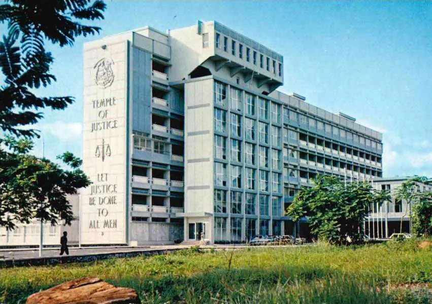
Sights in the town Monrovia Lowlands (1)
Sights nearby
Frequently asked questions
What characterizes the Monrovia lowlands?
Are these areas prone to flooding?
What kind of agriculture is practiced there?
How close is this area to Monrovia?
Are there any nature reserves there?
Monrovia Lowlands: where is it located?
Monrovia Lowlands: when is the best time to visit?
Monrovia Lowlands: why is it worth visiting?

Nearby cities


History & landmarks

Nature
More places