Plizio Visual Lab
Kpeaple
ℹ️Practical info — Kpeaple
▾
🌤 Weather — 5 days
📍 Nearby
Sights nearby
💡 Tips
- Pack strong mosquito repellent and anti-malarial medication due to the dense forest environment.
- Expect heavy rains; waterproof boots and gear are necessary for exploring.
- Engage a local guide if you plan to venture into the surrounding forests.
- Travel during daylight hours, as roads are unlit and can be challenging at night.
🍽 Food
A traditional dish in the forest regions; ensure it's sourced sustainably if you choose to try it.
The backbone of local meals, usually served with spicy palm oil sauces.
A freshly tapped natural alcoholic beverage, best enjoyed in the morning when it's sweet.
🛍 Shopping · 🧘 Quiet spots
Purchase fresh cassava, plantains, and greens directly from the growers.
Keep an eye out for small, hand-carved wooden items crafted by local artisans.
Walk along the edge of the dense forest to listen to the rich birdlife and insect sounds.
Take a quiet evening stroll through the settlement as the agricultural workday ends.
Water temperature…
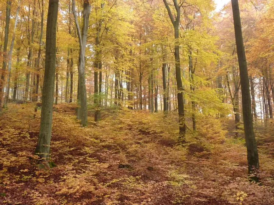
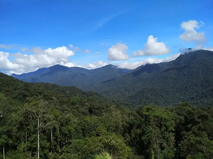
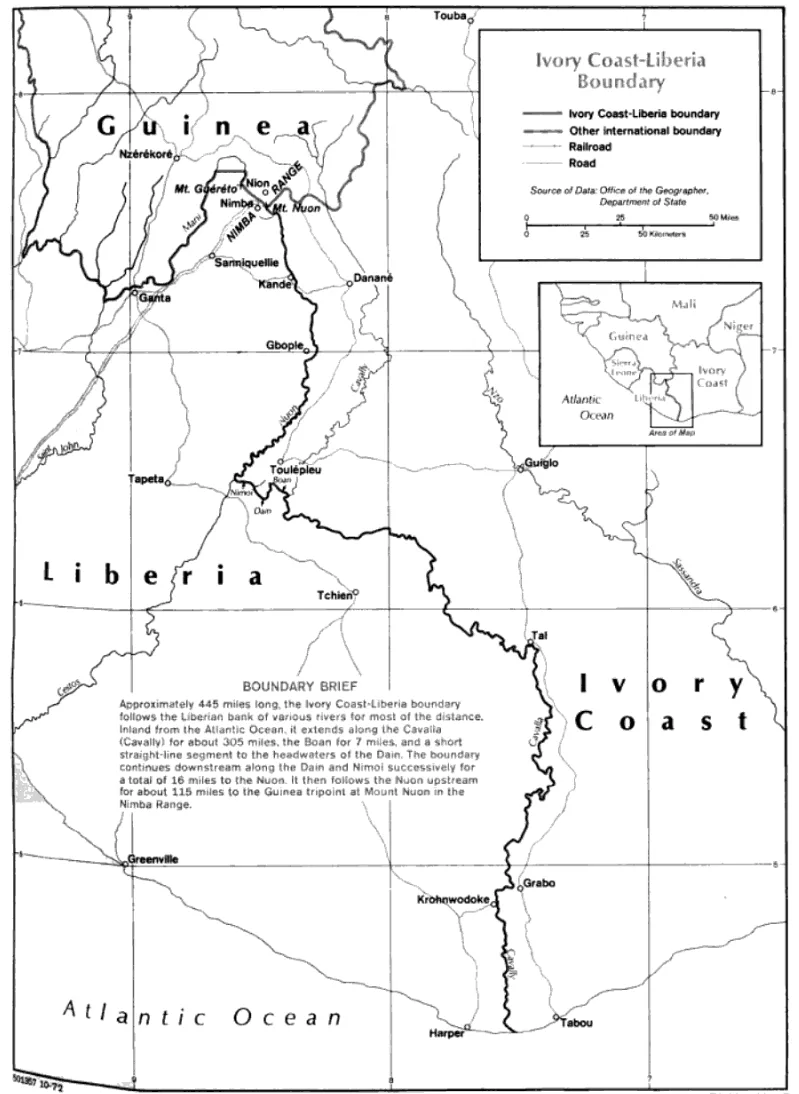
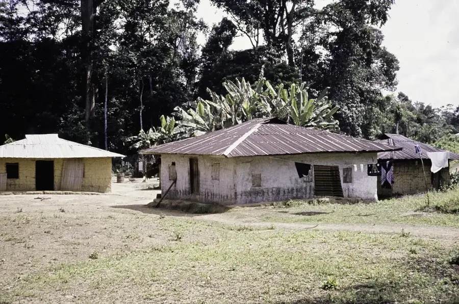
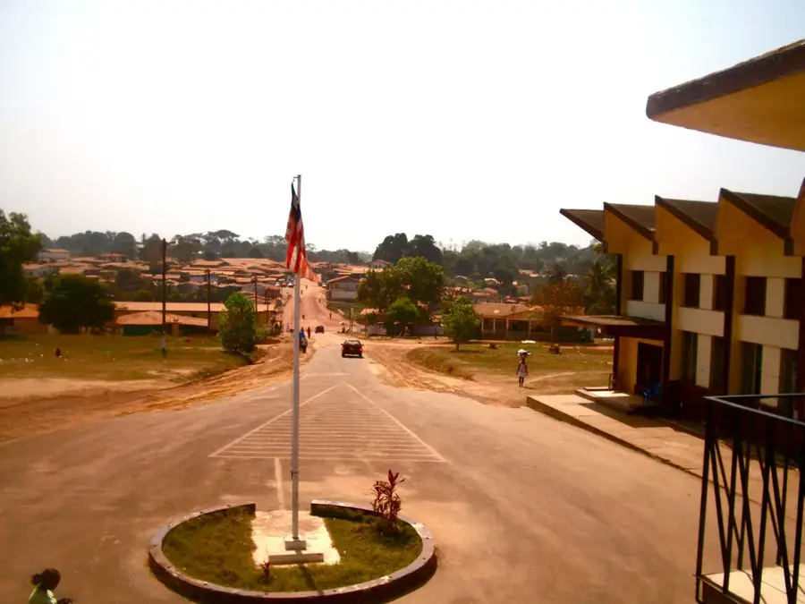
Kpeaple is a remote settlement located in the heart of Grand Gedeh County in southeastern Liberia, surrounded by the vast and lush tropical rainforests of the Upper Guinean forest zone. The town serves as a quintessential example of rural Liberian life, where the environment dictates the pace of existence. Agriculture is the primary livelihood, with farmers utilizing traditional methods to grow staple crops like rice and cassava, alongside small-scale rubber production. The isolation of the region has allowed cultural traditions and local languages to remain spirited and central to the community's identity. For the adventurous traveler, Kpeaple provides a glimpse into one of the most biodiverse regions of West Africa, characterized by towering trees, rare bird species, and a complex ecosystem. The lack of modern infrastructure is compensated by the genuine hospitality of the inhabitants and the opportunity to experience a way of life that has remained largely unchanged for decades. It is a place of profound natural beauty and cultural resilience.
- Location: Liberia
- Nearby: Tappita (23 km)
Best time to visit & climate
The most pleasant time to visit is Jan, Feb, Dec.
| Jan | Feb | Mar | Apr | May | Jun | Jul | Aug | Sep | Oct | Nov | Dec | |
|---|---|---|---|---|---|---|---|---|---|---|---|---|
| Avg °C | 25 | 26 | 27 | 26 | 26 | 25 | 24 | 24 | 24 | 25 | 25 | 25 |
| Rain mm | 19 | 54 | 97 | 124 | 182 | 252 | 159 | 203 | 229 | 210 | 111 | 43 |
Geography
Facts
- Estimated population: 1,000 (2022).
- Elevation: 350 m above sea level.
- Founded in 1940s.
- Distance to Sanniquellie: 15 km.
- Primary school built in 1955.
- Gold panning yields about 5 kg annually.
Explore nearby
Notable places around
Route planner — Car & Motorhome
Where do you start? We build the route here, with stops and country notes along the way.
© OpenStreetMap contributors · OpenRouteService
Frequently asked questions
Where is Kpeaple located?
What is the main occupation in Kpeaple?
Is Kpeaple developed for tourists?
How can you reach the place?
Is there electricity in Kpeaple?
Kpeaple: where is it located?
Kpeaple: when is the best time to visit?
Kpeaple: why is it worth visiting?

Nearby cities


History & landmarks
More places