Plizio Visual Lab
Phou That
Weather…
Water temperature…
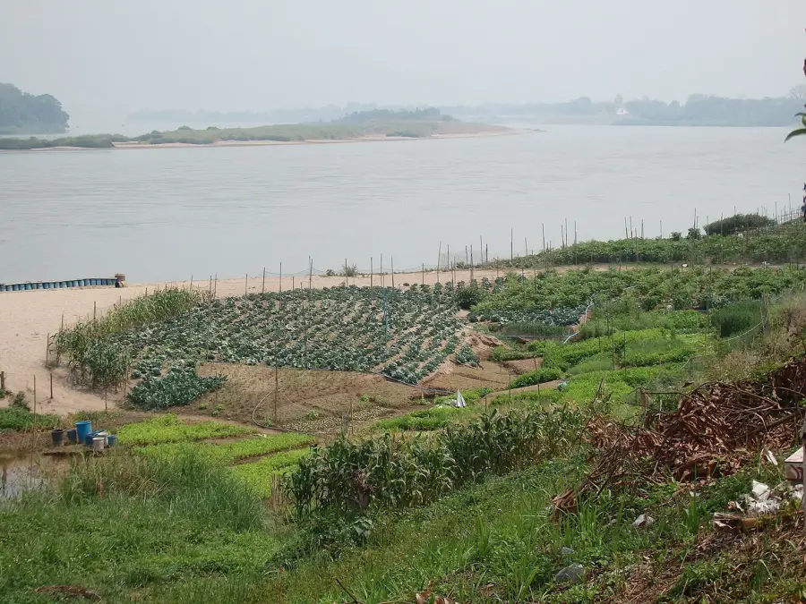
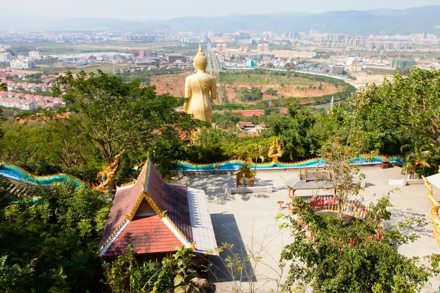
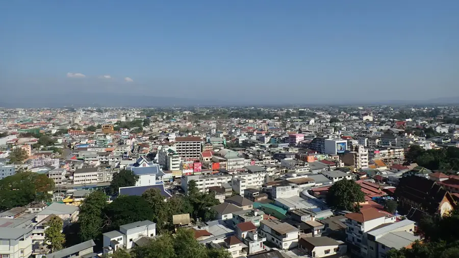
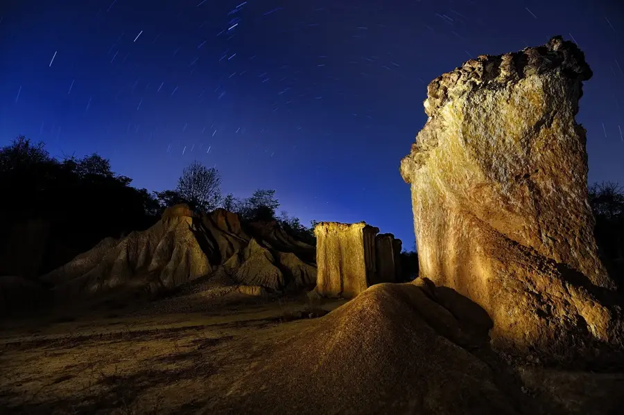
Phou That is a hill steeped in history that dominates the cityscape of Huay Xai in Bokeo Province in northwestern Laos. Geographically, this elevation has a strategically excellent view over the Mekong River and the adjacent Thai border area, making it a central point in the famous Golden Triangle. Perched on the summit is Wat Chomkhaou Manilat, a magnificent temple complex dating from 1880 whose golden stupa is visible from afar. A long, steep stairway flanked by intricately carved Naga serpents leads visitors and pilgrims up through dense forest to the sanctuary. The site is not only a religious center for the local Buddhist community but also an important cultural identity point for the residents of Huay Xai. From the observation platform at the top, one can observe the dramatic river landscape of the Mekong, especially at sunset when the light bathes the water surface in golden tones. For travelers entering from Thailand, Phou That is often the first prominent landmark and provides a peaceful atmosphere away from the bustling border town. The surrounding vegetation consists of subtropical deciduous forests that wrap the hill in lush green year-round.
- Location: Laos
- Nearby: Huay Xai (14 km)
Best time to visit & climate
The most pleasant time to visit is Feb, Mar, Nov.
| Jan | Feb | Mar | Apr | May | Jun | Jul | Aug | Sep | Oct | Nov | Dec | |
|---|---|---|---|---|---|---|---|---|---|---|---|---|
| Avg °C | 17 | 20 | 23 | 26 | 26 | 25 | 24 | 24 | 24 | 22 | 20 | 17 |
| Rain mm | 22 | 6 | 24 | 50 | 108 | 112 | 193 | 202 | 112 | 69 | 30 | 15 |
📋 Practical info
Geography
Facts
- The Wat Chomkhaou Manilat temple at the summit dates back to 1880.
- The hill offers a view of three countries simultaneously: Laos, Thailand, and Myanmar.
- The Naga staircase consists of over 100 steps to the main sanctuary.
- Phou That is the highest point in the urban area of Huay Xai.
- The temple complex houses valuable murals depicting the life of Buddha.
- The site was historically an important observation post on the Mekong.
Explore nearby
Notable places around
Route planner — Car & Motorhome
Where do you start? We build the route here, with stops and country notes along the way.
© OpenStreetMap contributors · OpenRouteService
Sights nearby
Frequently asked questions
Where is Phou That mountain located?
Is the summit easy to reach?
Are there religious sites at the top?
Do I need a guide for Phou That?
Is there drinking water on the trail?
Phou That: where is it located?
Phou That: when is the best time to visit?
Phou That: why is it worth visiting?

Nearby cities
History & landmarks
More places