Plizio Visual Lab
Ural River
Weather…
Water temperature…
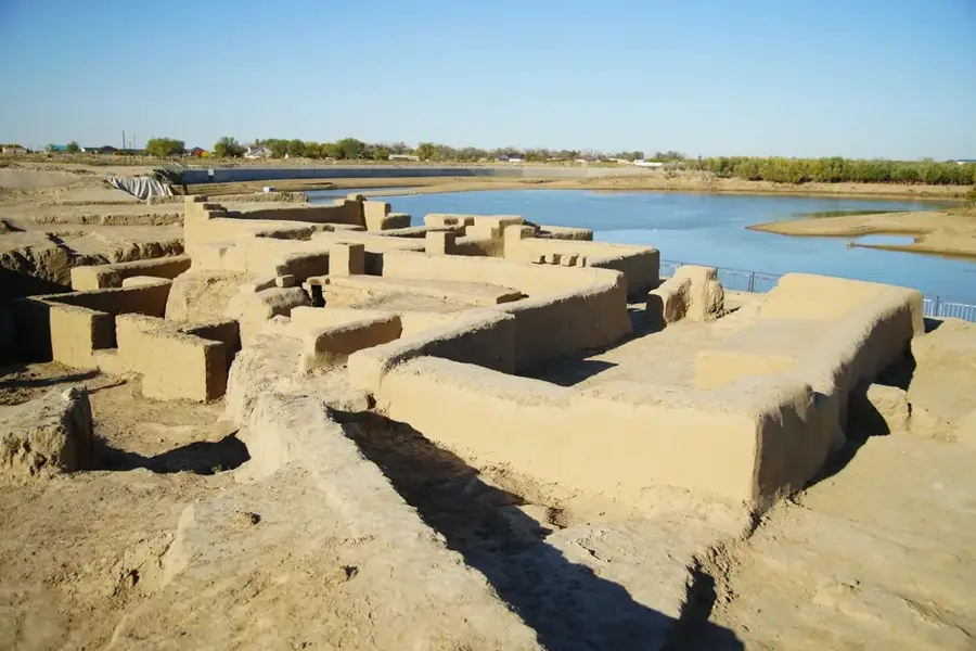
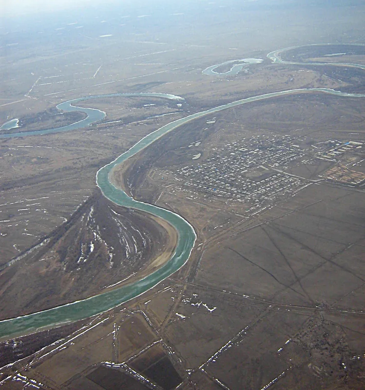
The Ural River, known as Lykos in antiquity and later as the Yaik, is a 2,428-kilometer-long river that originates in the southern Ural Mountains in Russia and flows into the Caspian Sea through an extensive delta. It is of great geographical and cultural significance as it forms the traditional, though not strictly defined, boundary between the continents of Europe and Asia. In Kazakhstan, it flows through the western part of the country, shaping the steppe landscape. Cities like Oral and Atyrau are located on its banks and are important regional centers. The river is renowned for its fish stocks, particularly sturgeon, whose caviar is considered a delicacy. Unfortunately, overfishing and the deterioration of water quality have drastically reduced populations. The river's water level fluctuates sharply seasonally, with floods in the spring after the snowmelt. The Ural is not only a lifeline for the region but also a symbol of the connection and separation of two continents.
- Location: Kazakhstan
- Nearby: Atyrau (38 km)
Best time to visit & climate
The most pleasant time to visit is May, Jun, Sep.
| Jan | Feb | Mar | Apr | May | Jun | Jul | Aug | Sep | Oct | Nov | Dec | |
|---|---|---|---|---|---|---|---|---|---|---|---|---|
| Avg °C | -7 | -6 | 2 | 10 | 19 | 25 | 28 | 26 | 19 | 10 | 2 | -3 |
| Rain mm | 16 | 12 | 17 | 20 | 28 | 13 | 13 | 8 | 11 | 19 | 17 | 19 |
📋 Practical info
Geography
Explore nearby
Notable places around
Route planner — Car & Motorhome
Where do you start? We build the route here, with stops and country notes along the way.
© OpenStreetMap contributors · OpenRouteService
Sights nearby
Frequently asked questions
What does the Ural River mark?
Where does the Ural River originate?
Is the river suitable for water sports?
What fish are found in the Ural River?
Are there nature reserves along the river?
Ural River: where is it located?
Ural River: when is the best time to visit?
Ural River: why is it worth visiting?

Nearby cities

More places