Plizio Visual Lab
Atyrau

ℹ️Practical info — Atyrau
▾
🌤 Weather — 5 days
📍 Nearby
Sights nearby
💡 Tips
- Cross the pedestrian bridge over the Ural River to literally walk between Europe and Asia.
- Mosquito repellent is an absolute must during the summer months.
- The Yandex Taxi app is the safest and most reliable way to get around the city.
- Winters are freezing, dress in very warm layers if visiting between November and March.
🍽 Food
Traditional Kazakh meat and noodle dish, find it in authentic local restaurants.
Available at specialty fish restaurants, a luxurious local delicacy.
Fried dough balls served as bread, usually free with main courses.
🛍 Shopping · 🧘 Quiet spots
A large bustling bazaar for everything from clothes to fresh local produce.
Check these for traditional Kazakh felt products and silver jewelry.
A well-maintained and heavily wooded park first-rate for a peaceful afternoon walk.
Stroll along the European side at dusk for calm water views.
Water temperature…
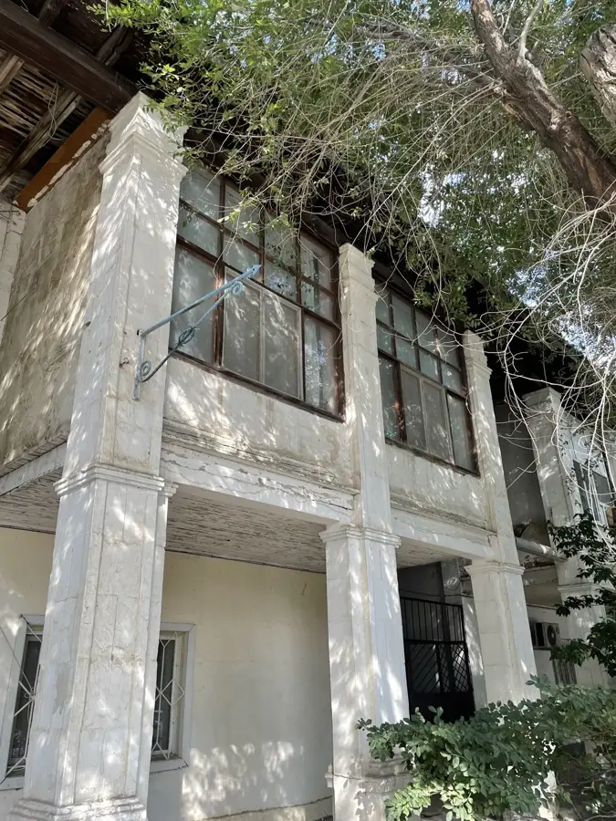
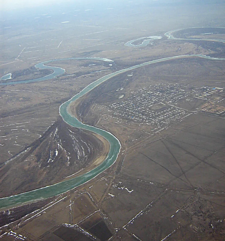
Atyrau, the unofficial oil capital of Kazakhstan, is strategically located at the mouth of the Ural River where it flows into the Caspian Sea. The city was founded in 1640 by Russian Cossacks as Yaitskiy gorodok, originally serving as a fortified fishing settlement. A significant geographical feature is its position on two continents, as the Ural River marks the traditional boundary between Europe and Asia. During the 20th century, the discovery of massive oil reserves in the vicinity, such as the Tengiz and Kashagan fields, transformed the former provincial town into a modern industrial hub. Today, Atyrau hosts numerous international energy companies and specialized technical universities. With a population exceeding 350,000, the city remains a critical economic driver for the nation and a major transportation node on the Caspian coast.
- Location: Kazakhstan
- Top sights: Atyrau Regional Academic Drama Theater named after Makhambet Utemisuly · Filarmoniya im. N. Zhanturina · muzei imeni Sh.Sarieva
- Population: ~290.700 (2026)
Best time to visit & climate
The most pleasant time to visit is May, Jun, Sep.
| Jan | Feb | Mar | Apr | May | Jun | Jul | Aug | Sep | Oct | Nov | Dec | |
|---|---|---|---|---|---|---|---|---|---|---|---|---|
| Avg °C | -7 | -6 | 2 | 10 | 20 | 25 | 28 | 27 | 19 | 10 | 2 | -4 |
| Rain mm | 17 | 12 | 18 | 20 | 29 | 13 | 12 | 8 | 11 | 19 | 17 | 20 |
Geography
Facts
- Founded in 1640 by the merchant Guriy Nazarov.
- The Ural River divides the city into European and Asian sides.
- The city was renamed from Guryev to Atyrau in 1991.
- The Atyrau region produces approximately 60% of Kazakhstan's oil.
- The city's lowest elevation is 28 meters below sea level.
- The pedestrian bridge over the Ural is over 400 meters long.
Explore nearby
Notable places around
Route planner — Car & Motorhome
Where do you start? We build the route here, with stops and country notes along the way.
© OpenStreetMap contributors · OpenRouteService
Sights in the town Atyrau (11)
Filarmoniya im. N. Zhanturina🎭 culture
The Philharmonic named after N. Zhanturin is a prominent venue for musical performances and concerts in Atyrau.
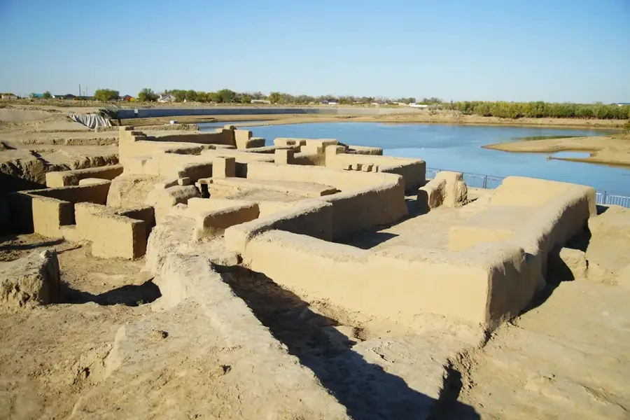
Pamyatnik Kurmangazy🏺 historical
Памятник Курмангазы is a monument erected in Atyrau to honor the famed Kazakh composer Kurmangazy.
Frequently asked questions
What is unique about Atyrau's location?
How does the city make its money?
Can you cross the Ural River?
What fish should you eat here?
What is the summer climate like?
Atyrau: where is it located?
Atyrau: what is there to see?
Atyrau: when is the best time to visit?
Atyrau: why is it worth visiting?

Nature
More places