Plizio Visual Lab
Aso Caldera
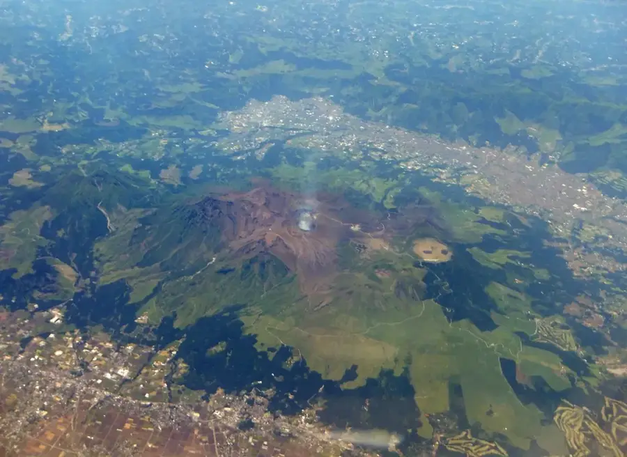
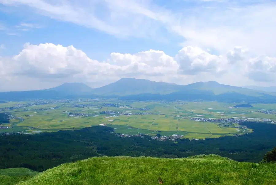
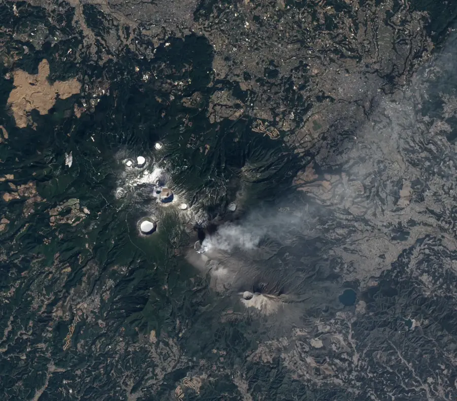
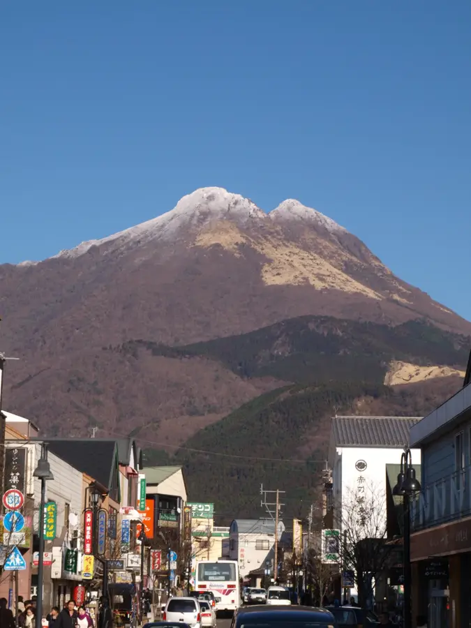
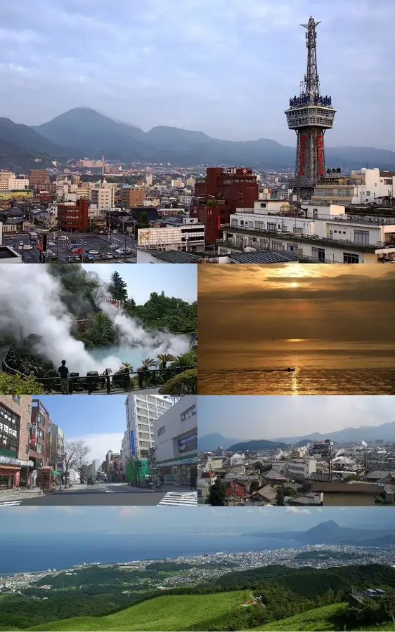
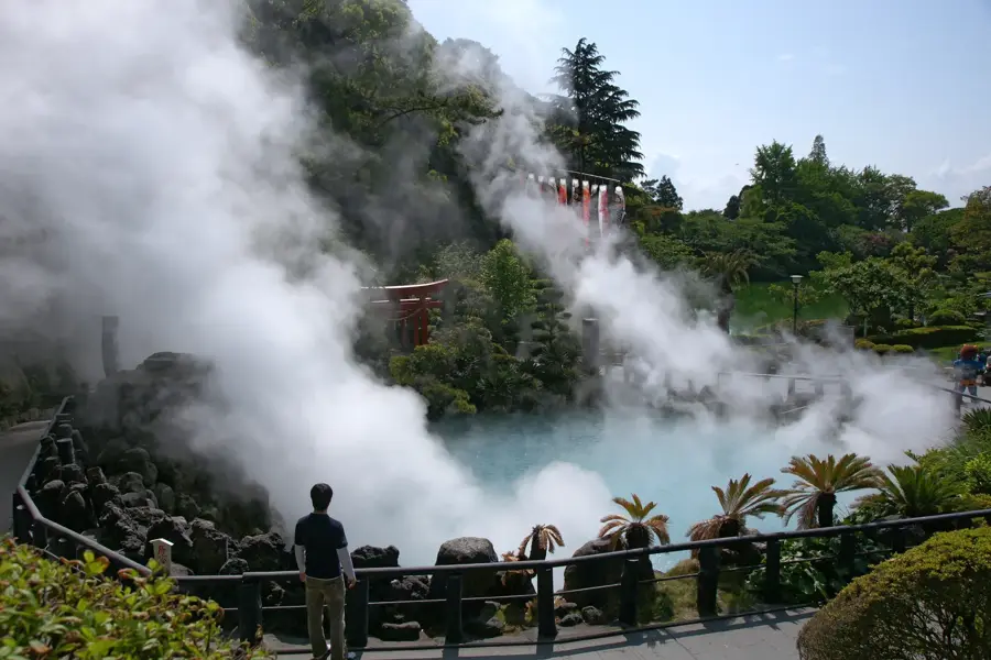
The Aso Caldera, located in Kumamoto Prefecture on Japan's Kyushu island, ranks as one of the largest volcanic calderas globally. This vast geological structure measures approximately 25 kilometers from north to south and 18 kilometers from east to west, with a circumference of nearly 120 kilometers. It was formed through four major pyroclastic eruptions between 270,000 and 90,000 years ago, with the final eruption (Aso 4) being particularly catastrophic. Within the caldera lies the active Mount Aso volcanic complex, which includes five peaks, the most famous being the frequently active Nakadake. The basin is uniquely characterized by its large human population, with over 50,000 residents living in towns and engaging in agriculture within the caldera's fertile plains. Geologically, it is part of the Aso-Kuju National Park and is recognized as a UNESCO Global Geopark due to its well-preserved volcanic features and biological diversity. The surrounding rim and central cones offer a diverse landscape shaped by millennia of activity.
- Location: Japan
- Top sights: Mount Tawara · Komezuka · Kusasenri Observatory
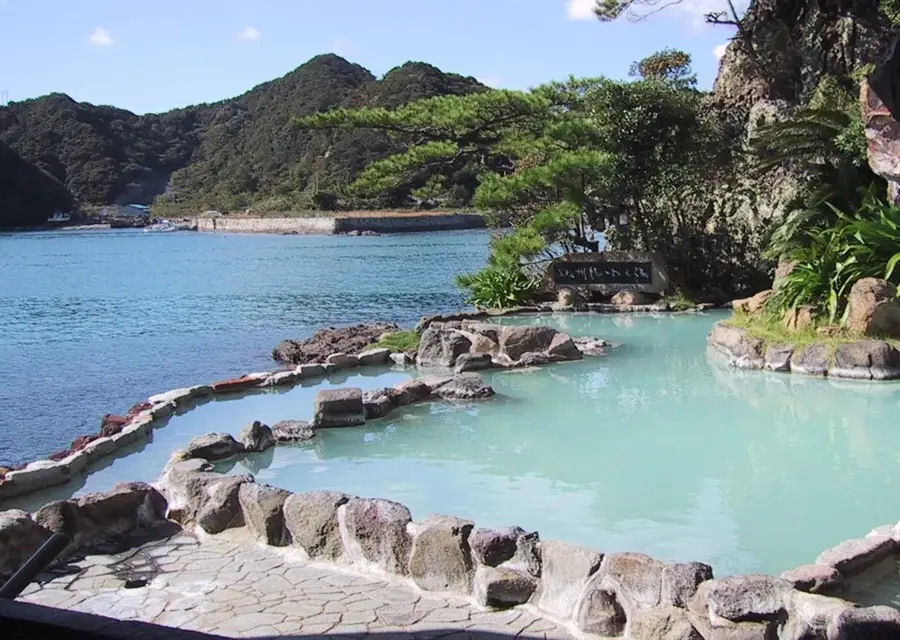
- Nearby: Kurokawa Onsen (21 km)
Best time to visit & climate
The most pleasant time to visit is May, Sep, Oct.
| Jan | Feb | Mar | Apr | May | Jun | Jul | Aug | Sep | Oct | Nov | Dec | |
|---|---|---|---|---|---|---|---|---|---|---|---|---|
| Avg °C | 1 | 3 | 6 | 11 | 16 | 20 | 24 | 24 | 21 | 15 | 9 | 3 |
| Rain mm | 69 | 101 | 129 | 156 | 186 | 398 | 396 | 216 | 226 | 125 | 96 | 79 |
📋 Practical info
Geography
Facts
- The Aso Caldera was formed by four massive eruptions, with the largest (Aso 4) occurring roughly 90,000 years ago.
- The caldera has a circumference of nearly 120 kilometers, making it a prominent feature visible from space.
- Approximately 50,000 people live within the caldera basin, which contains towns, railways, and agricultural fields.
- Nakadake, one of the central cones, has been active for over 1,500 years and remains one of Japan's most active volcanoes.
- The highest point of the central volcanic group is Mount Taka, which reaches an elevation of 1,592 meters above sea level.
- The caldera was officially designated as a UNESCO Global Geopark in 2014 due to its unique geological value.
Explore nearby
Notable places around
Route planner — Car & Motorhome
Where do you start? We build the route here, with stops and country notes along the way.
© OpenStreetMap contributors · OpenRouteService
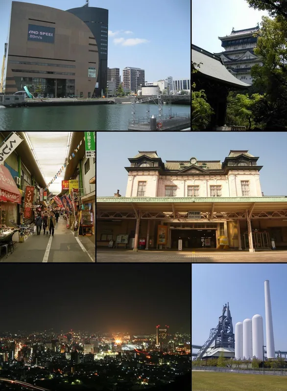
Sights in the town Aso Caldera (6)
Sights nearby
Frequently asked questions
Is Mount Aso currently active?
What is special about the Aso Caldera?
How do you reach the crater rim?
Are there health risks when visiting?
What is Kusasenri-ga-hama?
Aso Caldera: where is it located?
Aso Caldera: what is there to see?
Aso Caldera: when is the best time to visit?
Aso Caldera: why is it worth visiting?

Nearby cities

History & landmarks
More places