Plizio Visual Lab
Takachiho Gorge
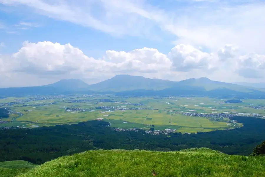
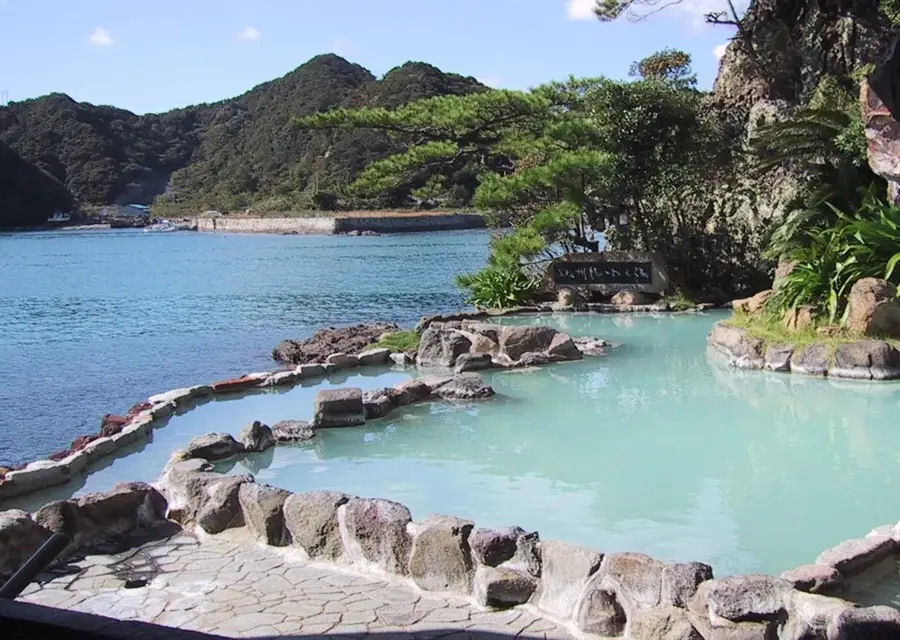
Takachiho Gorge is a spectacular geological formation in Miyazaki Prefecture on Kyushu Island, carved by the Gokase River. The gorge was formed during the volcanic eruptions of Mount Aso approximately 120,000 years ago, as rapidly cooling lava created distinct columnar basalt joints. The sheer cliffs reach heights of up to 100 meters and are draped in lush forest greenery. A central feature is the 17-meter-high Manai Waterfall, which plunges directly into the emerald waters of the river below. The area is deeply steeped in Japanese mythology, recognized as the setting where the sun goddess Amaterasu is said to have hidden in a cave. Visitors can experience the gorge from a clifftop hiking trail or by renting rowboats to approach the base of the waterfall. Takachiho Gorge was designated a National Monument and a Place of Scenic Beauty in 1934.
- Location: Japan
- Top sights: Mt. Akagoura · Tourist train turn around point · Mt. Morotsuka
- Nearby: Kurokawa Onsen (33 km)
Best time to visit & climate
The most pleasant time to visit is Aug–Oct.
| Jan | Feb | Mar | Apr | May | Jun | Jul | Aug | Sep | Oct | Nov | Dec | |
|---|---|---|---|---|---|---|---|---|---|---|---|---|
| Avg °C | 1 | 3 | 6 | 11 | 16 | 20 | 24 | 24 | 21 | 15 | 9 | 3 |
| Rain mm | 73 | 114 | 141 | 169 | 207 | 469 | 421 | 217 | 236 | 125 | 105 | 89 |
📋 Practical info
Geography
Facts
- The gorge was formed by volcanic lava flows about 120,000 years ago.
- The Manai Waterfall drops from a height of 17 meters into the river.
- The columnar basalt cliffs reach heights of up to 100 meters.
- Takachiho Gorge was designated a National Monument in 1934.
- Rowboats can be rented to navigate the emerald waters of the gorge.
- The Gokase River created the gorge through millennia of erosion.
Explore nearby
Notable places around
Route planner — Car & Motorhome
Where do you start? We build the route here, with stops and country notes along the way.
© OpenStreetMap contributors · OpenRouteService
Sights in the town Takachiho Gorge (10)
Sights nearby
Frequently asked questions
Can I rent a boat in the gorge?
Is the hiking path wheelchair accessible?
Is there parking nearby?
Is swimming allowed in the gorge?
When is the best time to visit?
Takachiho Gorge: where is it located?
Takachiho Gorge: what is there to see?
Takachiho Gorge: when is the best time to visit?
Takachiho Gorge: why is it worth visiting?

Nearby cities
More places