Plizio Visual Lab
Mount Toura
Weather…
Water temperature…
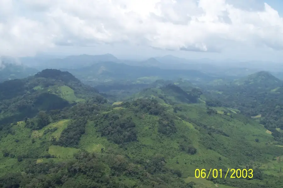
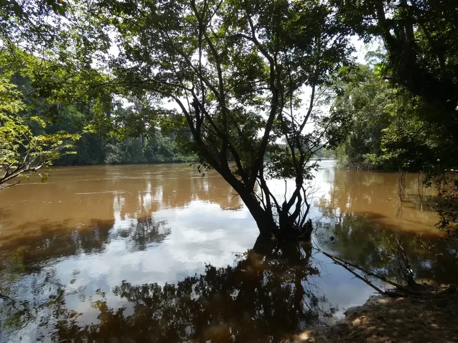
Mount Toura is a significant peak in northwestern Côte d'Ivoire, located in the Bafing region and named after the Toura people living there. It is part of a mountain range that marks the boundary between the West African savanna and the wetter forest zones of the west. The mountain reaches considerable heights and is characterized by rugged rock formations and deep gorges that are difficult to access. The vegetation consists of a mix of montane forests in the protected valleys and vast grasslands on the exposed high plateaus. Geologically, the area is rich in minerals, with iron and nickel deposits known in the vicinity. Culturally, Mount Toura is deeply rooted in the myths of the local population, who regard the mountain as the residence of powerful spirits. The mountain's isolation has helped many rare plant species survive here that have already disappeared in other parts of the country. In recent years, the region has been gaining importance for adventure tourism, as the untouched nature and cultural authenticity attract travelers. Preserving Mount Toura is essential for protecting the watersheds that feed important tributaries of the Sassandra River.
- Location: Côte d’Ivoire
- Nearby: Biankouma (25 km)
Best time to visit & climate
The most pleasant time to visit is Jan, Nov, Dec.
| Jan | Feb | Mar | Apr | May | Jun | Jul | Aug | Sep | Oct | Nov | Dec | |
|---|---|---|---|---|---|---|---|---|---|---|---|---|
| Avg °C | 25 | 27 | 28 | 27 | 26 | 25 | 24 | 24 | 24 | 24 | 25 | 24 |
| Rain mm | 8 | 36 | 78 | 115 | 140 | 183 | 193 | 239 | 239 | 128 | 41 | 16 |
📋 Practical info
Geography
Facts
- Named after the Toura ethnic group
- Part of the Toura Mountains in the northwest
- Presence of chromium and nickel ores
- Highest elevation in the Bafing region
- Settlement area for traditional hunter-gatherers
- Important habitat for the West African leopard
Explore nearby
Notable places around
Route planner — Car & Motorhome
Where do you start? We build the route here, with stops and country notes along the way.
© OpenStreetMap contributors · OpenRouteService
Sights in the town Mount Toura (1)
Sights nearby
Frequently asked questions
Which mountain range does Mont Toura belong to?
What are the characteristics of Mont Toura?
Can you climb the mountain without a guide?
Are there waterfalls on Mont Toura?
What role does the mountain play for the local population?
Mount Toura: where is it located?
Mount Toura: when is the best time to visit?
Mount Toura: why is it worth visiting?

Nature
More places