Plizio Visual Lab
Man
ℹ️Practical info — Man
▾
🌤 Weather — 5 days
📍 Nearby
Sights nearby
💡 Tips
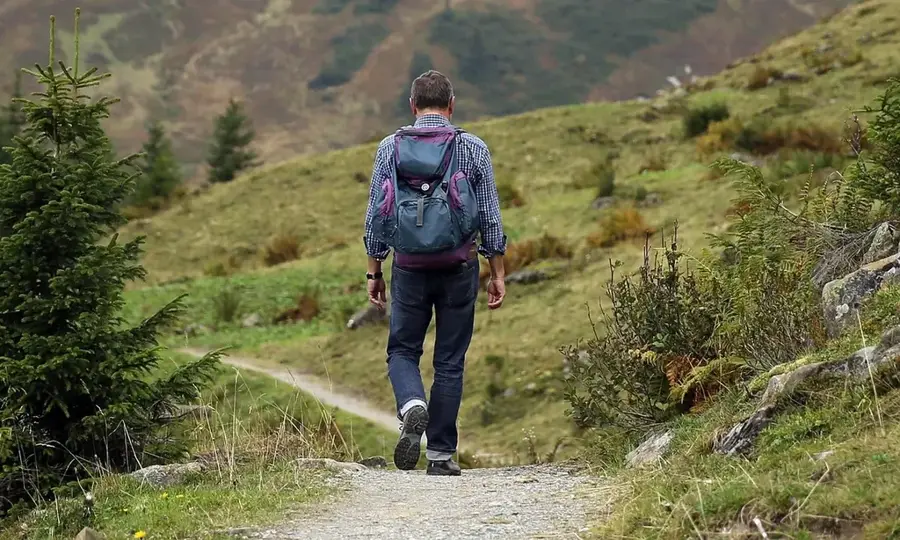
- The city is surrounded by mountains; wear sturdy shoes as the terrain is quite hilly.
- Visit the Cascades of Man early in the morning to avoid crowds and enjoy the cooling mist.
- Hiking Mount Tonkoui requires a guide; arrange one through your accommodation.
- The weather here is noticeably cooler than the coast, so pack a light jacket.
🍽 Food
A heavy, satisfying traditional dish available at any local 'maquis'.
Look out for locally harvested honey sold in small bottles along the roads.
🛍 Shopping · 🧘 Quiet spots
Great for purchasing traditional Yacouba woven cloths and beautiful wooden carvings.
Even if you don't hike up to the peak, the lower trails offer tranquil forest environments.
Water temperature…
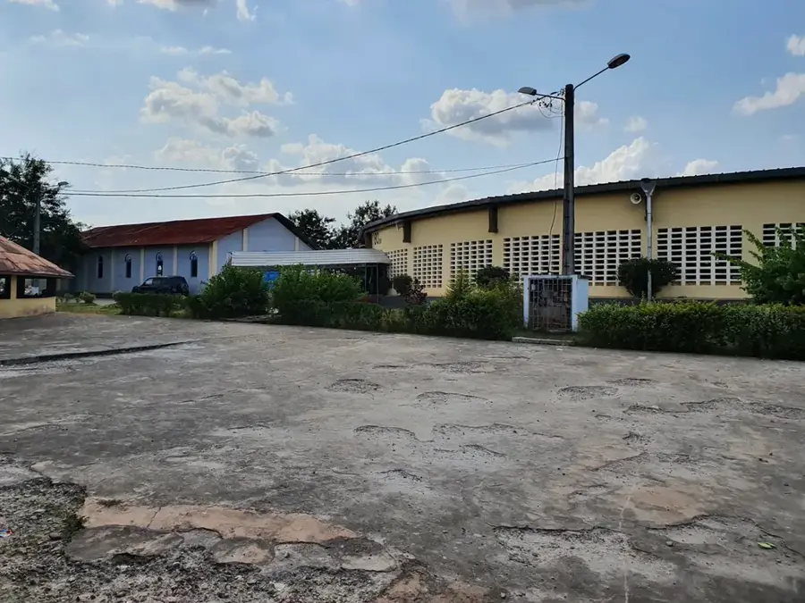
Man, widely known as the 'City of 18 Mountains,' is located in western Côte d'Ivoire within the Tonkpi Region. The city is positioned in a dramatic mountainous landscape, featuring peaks such as Mount Tonkoui and the iconic rock formation 'La Dent de Man.' Historically, Man serves as the primary hub for the Dan (or Yacouba) people, celebrated for their intricate mask dances and stilt-walking traditions. The humid highland climate supports a robust agricultural sector, particularly focusing on coffee, cocoa, and rubber production. On the outskirts, the 'La Cascade' waterfalls are hidden within a lush bamboo forest, showcasing the area's natural biodiversity. The region is also famous for its traditional liana bridges, constructed using ancient techniques over local rivers. Today, Man acts as a critical commercial crossroads connecting the nation to Guinea and Liberia. The city's unique blend of alpine scenery and West African heritage distinguishes it as a major regional center.
- Location: Côte d’Ivoire
- Nearby: Biankouma (36 km)
- Population: ~241.969 (2026)
Best time to visit & climate
The most pleasant time to visit is Jan, Feb, Dec.
| Jan | Feb | Mar | Apr | May | Jun | Jul | Aug | Sep | Oct | Nov | Dec | |
|---|---|---|---|---|---|---|---|---|---|---|---|---|
| Avg °C | 24 | 26 | 27 | 26 | 26 | 24 | 24 | 23 | 24 | 24 | 25 | 24 |
| Rain mm | 11 | 45 | 91 | 131 | 171 | 228 | 195 | 260 | 262 | 171 | 75 | 24 |
Geography
Facts
- Situated at an average elevation of approximately 460 meters.
- Proximate to Mount Tonkoui, the second highest peak in the country (1,189m).
- Cultural heart of the Dan people, famous for stilt-walking mask dances.
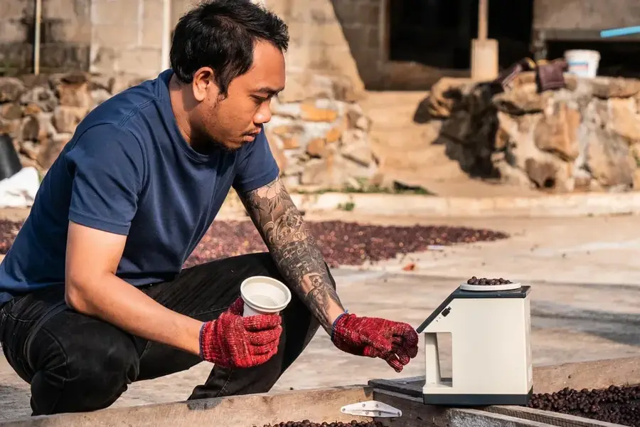
- Major production center for Ivorian Arabica coffee varieties.
- Home to the sacred monkey forest located in Gbepleu.
- Famous for the traditional liana bridges found in nearby Lieupleu.
Explore nearby
Notable places around
Route planner — Car & Motorhome
Where do you start? We build the route here, with stops and country notes along the way.
© OpenStreetMap contributors · OpenRouteService
Sights in the town Man (1)
Frequently asked questions
Why is it called 'city of 18 mountains'?
Where are the waterfalls?
What is the liana bridge?
Can you see monkeys?
How is the air temperature?
Man: where is it located?
Man: when is the best time to visit?
Man: why is it worth visiting?

Nearby cities
More places