Plizio Visual Lab
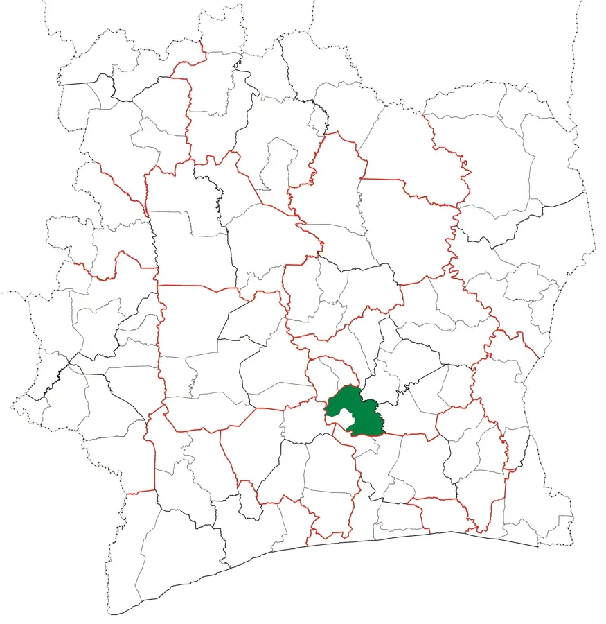
Nzi Valley

Weather…
Water temperature…
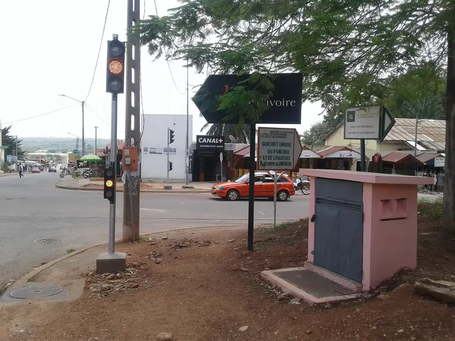
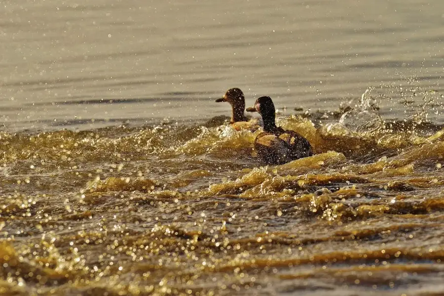
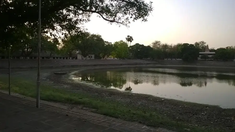
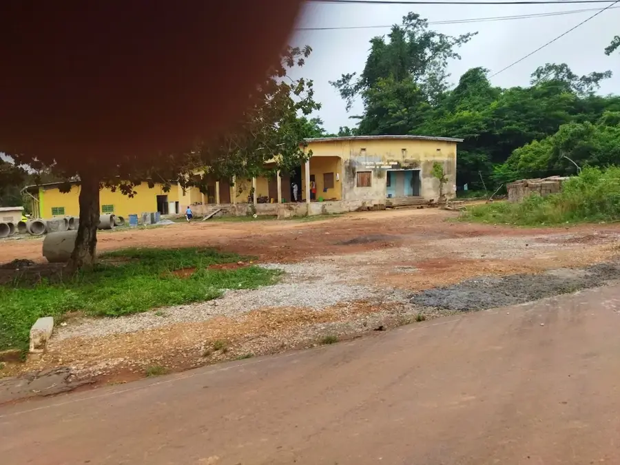
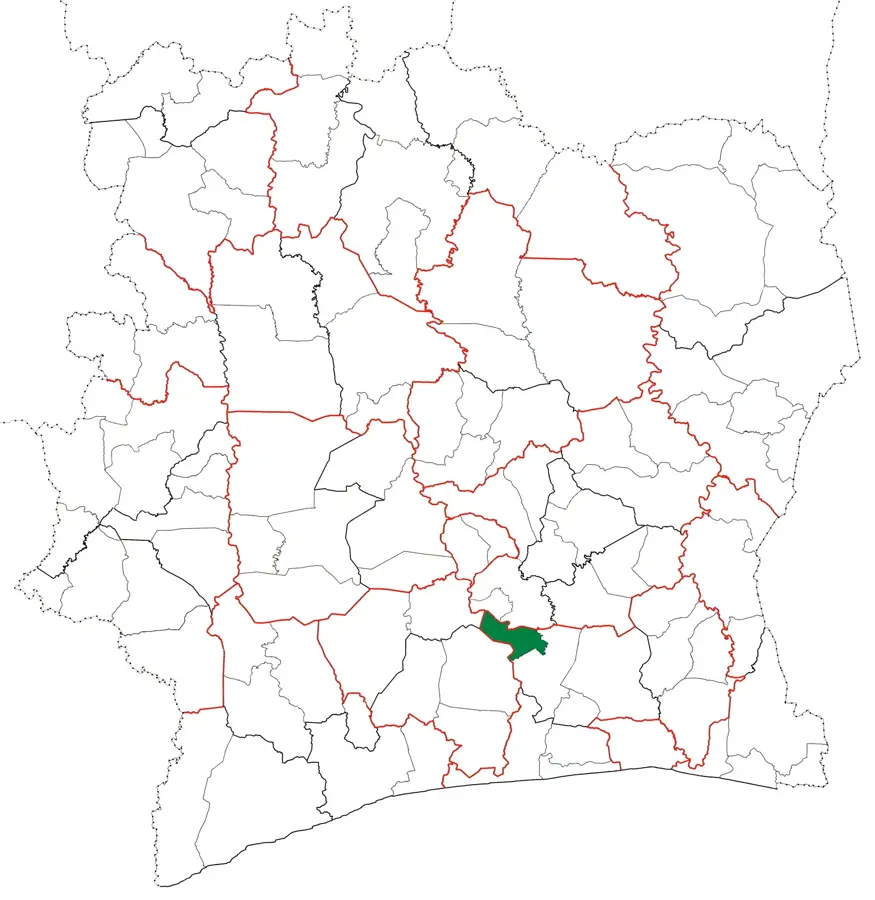
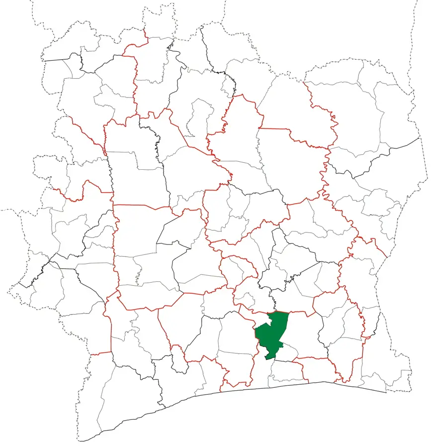
The Nzi Valley is a significant geographical feature in central Ivory Coast, carved by the Nzi River, which flows for over 725 kilometers before joining the Bandama River. The valley is characterized by fertile alluvial plains that have historically supported dense populations and diverse agricultural activities, ranging from rice cultivation in the floodplains to cocoa and coffee on the higher banks. A notable landmark in the valley is the historic Nzi River Bridge near Dimbokro, an impressive 250-meter-long steel structure built in 1910 during the colonial era for the Abidjan-Niger railway. This bridge remains a symbol of the region's historical connectivity and colonial engineering heritage. The valley's ecosystem includes remnants of gallery forests that provide essential habitats for various bird species and aquatic life. In the modern era, the Nzi Valley continues to be an agricultural powerhouse, though it is increasingly vulnerable to climate fluctuations that affect the river's seasonal discharge.
- Location: Côte d’Ivoire
- Nearby: M'Batto (50 km)
Best time to visit & climate
The most pleasant time to visit is Jan, Aug, Dec.
| Jan | Feb | Mar | Apr | May | Jun | Jul | Aug | Sep | Oct | Nov | Dec | |
|---|---|---|---|---|---|---|---|---|---|---|---|---|
| Avg °C | 28 | 29 | 28 | 27 | 27 | 25 | 25 | 25 | 26 | 26 | 26 | 27 |
| Rain mm | 16 | 53 | 109 | 127 | 160 | 218 | 110 | 67 | 127 | 176 | 91 | 31 |
📋 Practical info
Geography
Facts
- The Nzi River is approximately 725 kilometers long.
- The Nzi River Bridge was officially completed in 1910.
- The bridge is 250 meters long and made entirely of steel.
- It was crucial for the historic Abidjan-Niger railway line.
- The valley is a major producer of rice and yams.
- The river is a primary tributary of the Bandama River.
Explore nearby
Notable places around
Route planner — Car & Motorhome
Where do you start? We build the route here, with stops and country notes along the way.
© OpenStreetMap contributors · OpenRouteService
Sights nearby
Frequently asked questions
What activities are possible in the Nzi Valley?
What are the characteristics of the Nzi River?
Is the valley a malaria risk area?
Are there crocodiles there?
What is the best way to travel?
Nzi Valley: where is it located?
Nzi Valley: when is the best time to visit?
Nzi Valley: why is it worth visiting?

Nearby cities

More places