Plizio Visual Lab
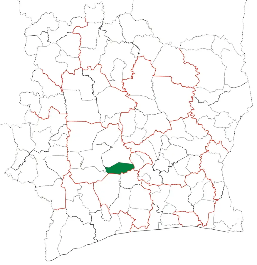
Sassandra Basin

Weather…
Water temperature…
The Sassandra Basin encompasses the extensive drainage area of the Sassandra River in western Ivory Coast. Originating in the highlands of Guinea, the river flows southward for over 650 kilometers before emptying into the Atlantic Ocean. Geographically, the basin is characterized by dense tropical rainforests in the south and a transition to wooded savannas in the north. The Buyo Reservoir, created in the 1970s for hydroelectric power and irrigation, plays a critical role in the region's economy and energy supply. The basin is one of the nation's primary producers of cocoa and timber, though these activities have led to significant deforestation over time. Fertile alluvial soils along the riverbanks support intensive agriculture, making it a vital farming zone. Despite its size, the Sassandra River is only partially navigable due to numerous rapids and falls along its course. The estuary at the town of Sassandra is historically notable as an early trading post and is currently celebrated for its scenic coastal beauty.
- Location: Côte d’Ivoire
- Nearby: Sinfra (24 km)
Best time to visit & climate
The most pleasant time to visit is Jan, Nov, Dec.
| Jan | Feb | Mar | Apr | May | Jun | Jul | Aug | Sep | Oct | Nov | Dec | |
|---|---|---|---|---|---|---|---|---|---|---|---|---|
| Avg °C | 26 | 27 | 27 | 26 | 26 | 25 | 24 | 24 | 25 | 25 | 26 | 26 |
| Rain mm | 18 | 69 | 127 | 152 | 175 | 230 | 125 | 114 | 154 | 163 | 86 | 34 |
📋 Practical info
Geography
Facts
- The Sassandra River is approximately 650 kilometers long.
- The Buyo Dam was completed during the 1970s.
- The basin is a major hub for global cocoa production.
- Numerous rapids prevent continuous navigation along the river.
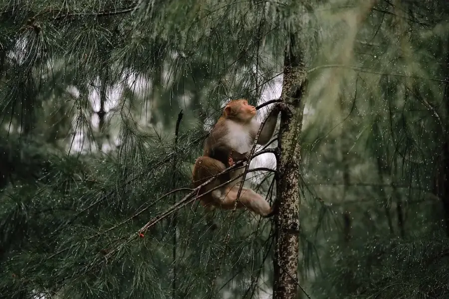
- The region includes large sections of the Taï National Park.
- The river originates in the mountainous highlands of Guinea.
Explore nearby
Notable places around
Route planner — Car & Motorhome
Where do you start? We build the route here, with stops and country notes along the way.
© OpenStreetMap contributors · OpenRouteService
Sights nearby
Frequently asked questions
Which river drains the Sassandra basin?
Is the region economically significant?
Are there dams in the Sassandra basin?
How is the transport connection in the basin?
What wildlife occurs here?
Sassandra Basin: where is it located?
Sassandra Basin: when is the best time to visit?
Sassandra Basin: why is it worth visiting?

Nearby cities
More places