Plizio Visual Lab
Slieve Mish
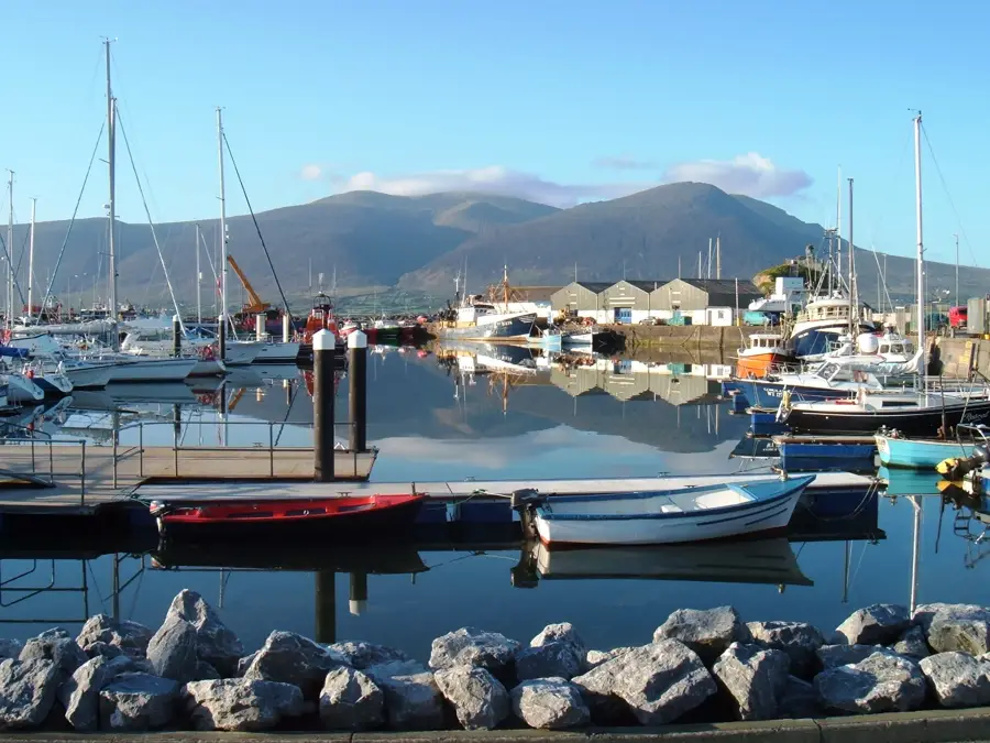
Slieve Mish is an impressive mountain range on the Dingle Peninsula in County Kerry, rising steeply from the surrounding coastal plain. The range extends for approximately 19 kilometers and is primarily composed of Old Red Sandstone from the Devonian period. The highest peak is Baurtregaum at 851 meters, a mountain often shrouded in mist that provides a dramatic backdrop to the landscape. The northern slopes are characterized by deep glacial corries, carved into the hard rock during the last Ice Age. Archaeologically, the region is of great significance, particularly due to the Caherconree stone fort situated on a high rocky spur. The mountains offer spectacular views of Tralee Bay to the north and Castlemaine Harbour to the south. Hikers value the Slieve Mish Mountains for their rugged beauty and the challenge presented by their steep ridges. These peaks are a key feature of Kerry's mountainous terrain.
- Location: Ireland
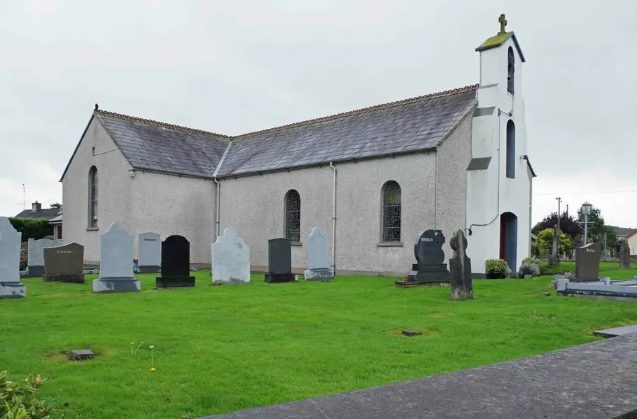
- Top sights: Killeen Old Burial Ground · Lisnahown · Lissymaddigan
- Nearby: Fenit (13 km)
Best time to visit & climate
The most pleasant time to visit is Jun–Aug.
| Jan | Feb | Mar | Apr | May | Jun | Jul | Aug | Sep | Oct | Nov | Dec | |
|---|---|---|---|---|---|---|---|---|---|---|---|---|
| Avg °C | 6 | 6 | 6 | 8 | 11 | 13 | 15 | 15 | 13 | 11 | 8 | 6 |
| Rain mm | 138 | 104 | 95 | 84 | 91 | 94 | 105 | 110 | 101 | 128 | 142 | 143 |
📋 Practical info
Geography
Facts
- Baurtregaum is the highest point of the Slieve Mish Mountains at 851 meters.
- The mountain range is composed almost entirely of Devonian sandstone.
- Caherconree is one of the highest stone forts in Ireland.
- The mountains were formed during the Variscan orogeny 300 million years ago.
- Glacial erosion created deep, amphitheater-like corries on the northern side.
- The range acts as a drainage divide between Tralee Bay and Castlemaine Harbour.
Explore nearby
Notable places around
Route planner — Car & Motorhome
Where do you start? We build the route here, with stops and country notes along the way.
© OpenStreetMap contributors · OpenRouteService
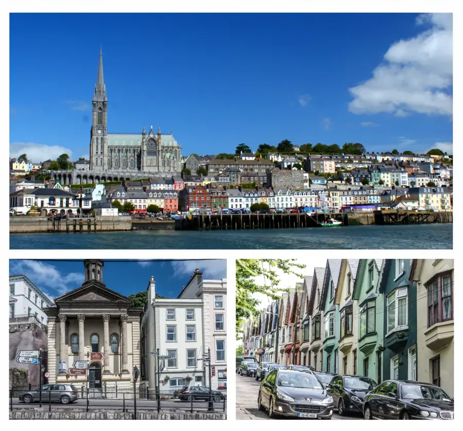
Sights in the town Slieve Mish (4)
Sights nearby
Frequently asked questions
Where is the Slieve Mish range located?
Which is the most famous peak?
What is the Caherconree fort?
What is the view like from the summit?
Is hiking safe there?
Slieve Mish: where is it located?
Slieve Mish: what is there to see?
Slieve Mish: when is the best time to visit?
Slieve Mish: why is it worth visiting?

Nearby cities