Plizio Visual Lab
Slieve Mis

Weather…
Water temperature…
The Slieve Mish Mountains (Irish: Sliabh Mis) are a mountain range on the Dingle Peninsula in western County Kerry. The highest peak in the chain is Baurtregaun, rising to an elevation of 851 metres. Geologically, the massif is predominantly composed of Old Red Sandstone, deposited about 400 million years ago during the Devonian period. The landscape is characterised by deep valleys and sharp ridges, shaped by glacial activity during the Pleistocene ice ages. In Irish mythology, the range holds a central role as the site where the legendary Queen Scota, an ancestor of the Milesians, is said to have fallen in battle. The slopes are covered with extensive blanket bogs and heathland, which provide essential habitats for rare bird species such as the peregrine falcon. For walkers, Slieve Mis has challenging routes with spectacular views over Tralee Bay and the entire Dingle Peninsula.
- Location: Ireland
- Top sights: Lissaroe · Baurtregaum · Caherconree
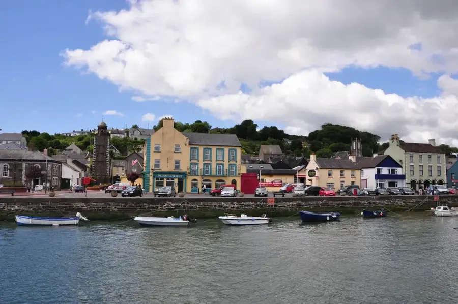
- Nearby: Fenit (10 km)
📋 Practical info
Geography
Facts
- The highest summit, Baurtregaun, reaches 851 metres.
- The range extends for approximately 19 km from west to east.
- The rocks consist of sandstone roughly 400 million years old.
- The name Slieve Mis translates as Mountains of Mis.
- The mythical Queen Scota is said to be buried in this range.
- The area is designated as a Special Area of Conservation (SAC).
Explore nearby
Notable places around
Route planner — Car & Motorhome
Where do you start? We build the route here, with stops and country notes along the way.
© OpenStreetMap contributors · OpenRouteService
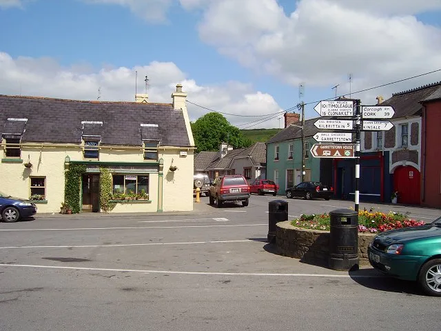
Sights in the town Slieve Mis (4)
Sights nearby
Frequently asked questions
Where is Slieve Mis (Slemish) located?
What is the historical significance?
How high is Slemish?
When is the main pilgrimage?
How long does the climb take?
Slieve Mis: where is it located?
Slieve Mis: what is there to see?
Slieve Mis: why is it worth visiting?

Nearby cities