Plizio Visual Lab
Shehy Mountains
Weather…
Water temperature…
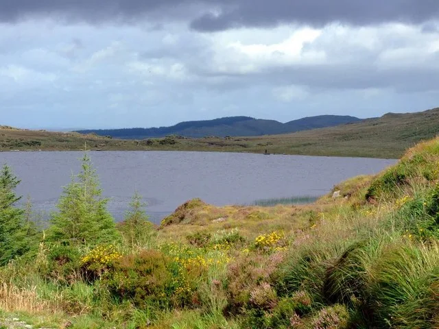
The Shehy Mountains are an extensive upland range in southwest Ireland, forming a natural boundary between County Cork and County Kerry. The highest point is Knockboy, which reaches an elevation of 706 metres, making it the highest peak in County Cork. Composed mainly of Devonian sandstone, the range is characterized by its vast blanket bogs, which serve as critical carbon sinks and unique ecosystems. These moorlands provide essential habitats for ground-nesting birds such as the hen harrier and the skylark. The area has a wealth of archaeological sites, including prehistoric stone circles and megalithic tombs that point to thousands of years of human activity. The name 'Shehy' is derived from the Irish for 'seat of the fairies', highlighting the region's deep roots in local folklore and mythology. The mountains are also the source of the River Lee, a major waterway that eventually flows through Cork City. Hikers are drawn to the Shehy Mountains for their solitude and the sweeping panoramic views they offer over Bantry Bay and the surrounding countryside. Despite the rugged terrain, the range supports a surprisingly diverse array of alpine and bog-dwelling plants.
- Location: Ireland
- Top sights: Douce Mountain · Carriganine · Carrigmount
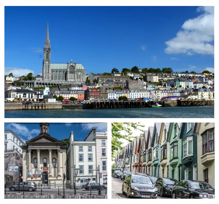
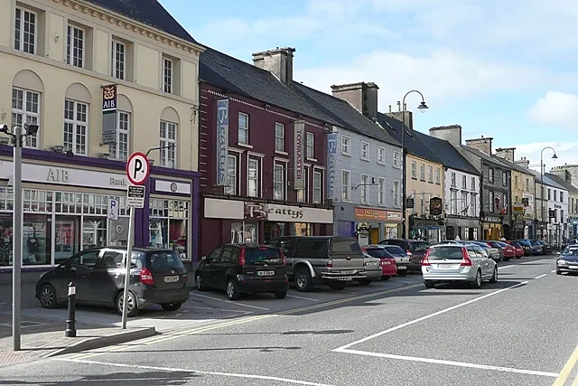
- Nearby: Dunmanway (11 km)
Best time to visit & climate
The most pleasant time to visit is Jun–Aug.
| Jan | Feb | Mar | Apr | May | Jun | Jul | Aug | Sep | Oct | Nov | Dec | |
|---|---|---|---|---|---|---|---|---|---|---|---|---|
| Avg °C | 6 | 5 | 6 | 8 | 11 | 13 | 15 | 15 | 13 | 11 | 8 | 6 |
| Rain mm | 117 | 88 | 87 | 78 | 84 | 90 | 96 | 102 | 89 | 120 | 124 | 124 |
📋 Practical info
Geography
Facts
- Highest peak: Knockboy (706 m)
- Source of the River Lee
- Name means 'seat of the fairies' in Irish
- Extensive deposits of ecologically vital blanket bog
- Crucial habitat for the rare hen harrier
- Numerous prehistoric stone circles in the vicinity
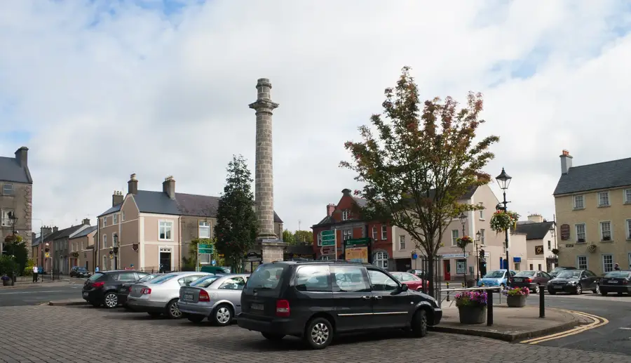
Explore nearby
Notable places around
Route planner — Car & Motorhome
Where do you start? We build the route here, with stops and country notes along the way.
© OpenStreetMap contributors · OpenRouteService
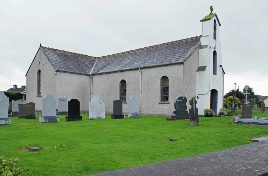
Sights in the town Shehy Mountains (3)
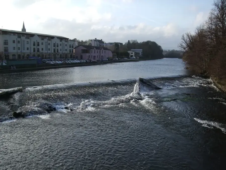
Sights nearby
Frequently asked questions
What is the highest point of the Shehy Mountains?
Is Gougane Barra located in this region?
Is hiking there dangerous?
Are there waterfalls?
Can wildlife be spotted?
Shehy Mountains: where is it located?
Shehy Mountains: what is there to see?
Shehy Mountains: when is the best time to visit?
Shehy Mountains: why is it worth visiting?

Nearby cities