Plizio Visual Lab
Mount Brandon
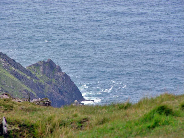
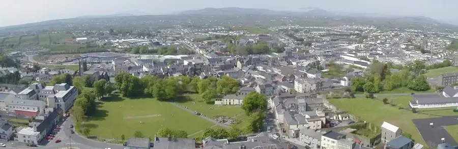
Mount Brandon, standing at 952 metres, is the highest peak of the Brandon group and one of the most significant mountains in Ireland. Located on the Dingle Peninsula in County Kerry, it commands extensive views over the Atlantic Ocean and the surrounding coastal landscape. Geologically, the mountain is primarily composed of Old Red Sandstone, which was uplifted during the Caledonian orogeny. It is named after Saint Brendan the Navigator, who, according to local tradition, caught sight of the Promised Land from the summit before his legendary voyage. The mountain has been a site of Christian pilgrimage for centuries, with the ancient Cosán na Naomh path leading to the top. The topography features dramatic glacial corries and steep ridges carved during the Pleistocene epoch. Currently, it remains a popular challenge for hikers and a key site for studying Ireland's mountain ecology.
- Location: Ireland
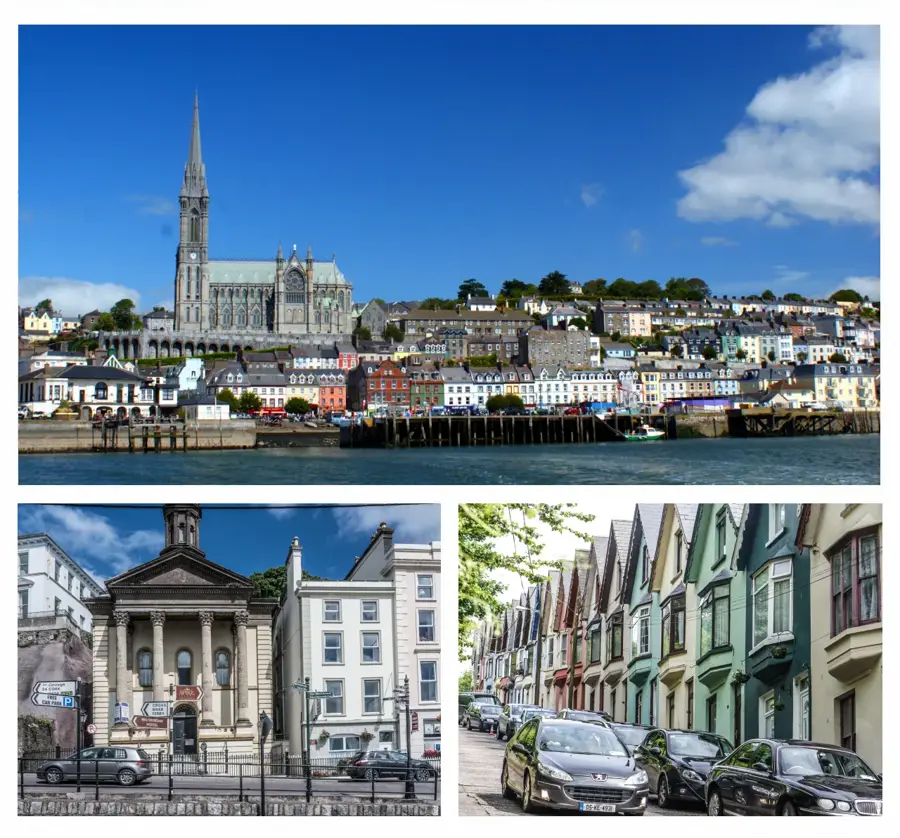
- Top sights: Tearmann Dúlra Cnoc Bréanainn / Mount Brandon Nature Reserve · Mount Brandon · Masatiompan
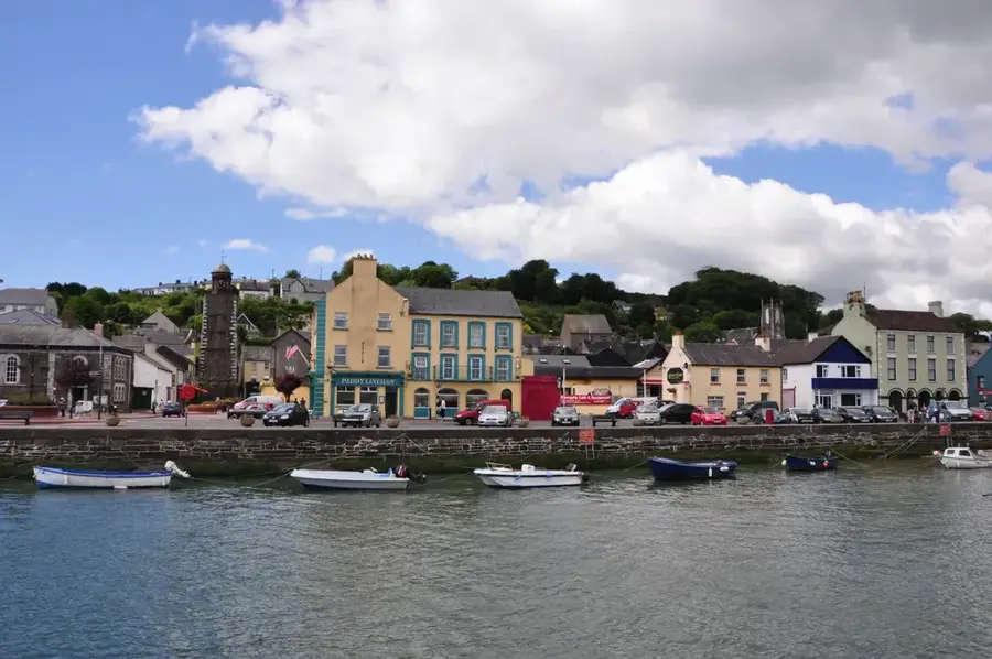
- Nearby: Cloghane (6 km)
Best time to visit & climate
The most pleasant time to visit is Jun–Aug.
| Jan | Feb | Mar | Apr | May | Jun | Jul | Aug | Sep | Oct | Nov | Dec | |
|---|---|---|---|---|---|---|---|---|---|---|---|---|
| Avg °C | 8 | 7 | 8 | 9 | 11 | 14 | 15 | 15 | 14 | 12 | 10 | 9 |
| Rain mm | 133 | 106 | 94 | 74 | 84 | 83 | 99 | 103 | 101 | 116 | 145 | 144 |
📋 Practical info
Geography
Facts
- The summit reaches an elevation of 952 metres above sea level.
- It is the highest peak in Ireland outside the MacGillycuddy's Reeks range.
- The geology consists of Devonian Old Red Sandstone formations.
- The ancient pilgrimage route, Cosán na Naomh, is 18 kilometres long.
- It is named after Saint Brendan the Navigator, an early Irish saint.
- The mountain features large glacial corries and steep arêtes.
Explore nearby
Notable places around
Route planner — Car & Motorhome
Where do you start? We build the route here, with stops and country notes along the way.
© OpenStreetMap contributors · OpenRouteService
Sights in the town Mount Brandon (5)
Sights nearby
Frequently asked questions
Where is Mount Brandon located?
How high is Mount Brandon?
Why is it a pilgrimage site?
Which hiking trail leads to the summit?
What can be seen from the summit?
Mount Brandon: where is it located?
Mount Brandon: what is there to see?
Mount Brandon: when is the best time to visit?
Mount Brandon: why is it worth visiting?

Nearby cities