Plizio Visual Lab
Caha Mountains
Weather…
Water temperature…
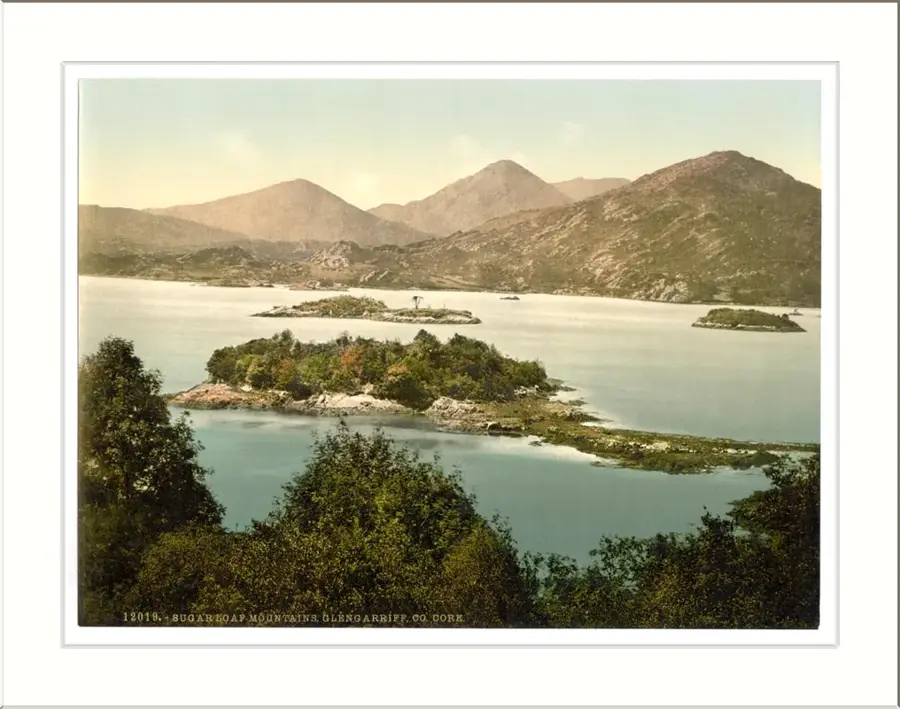
The Caha Mountains are a rugged range located on the Beara Peninsula in southwest Ireland, straddling the border between County Cork and County Kerry. The highest peak in the range is Hungry Hill, standing at an impressive 685 metres above sea level. Geologically, the mountains are primarily composed of Old Red Sandstone from the Devonian period, which was extensively carved by glacial activity during the last Ice Age. This glaciations left behind deep corries and numerous scenic lakes, including Lough Aderra and Lough Beag, which dot the high-altitude landscape. The area is historically significant for its copper mining heritage, with the Allihies Copper Mine being one of the most productive in the British Isles during the 19th century. Today, the Caha Mountains offer some of the most remote and challenging hiking in Ireland, attracting those looking for adventure off the beaten path. From the higher ridges, hikers can enjoy panoramic views of the Atlantic Ocean and Kenmare Bay. The range is also a sanctuary for rare arctic-alpine flora that thrives in its protected rocky crevices. As part of the Wild Atlantic Way, the mountains remain a cornerstone of the region's natural beauty.
- Location: Ireland
- Top sights: Knockanoughanish · Knockowen · Coomnadiha
- Nearby: Templenoe (11 km)
Best time to visit & climate
The most pleasant time to visit is Jun–Aug.
| Jan | Feb | Mar | Apr | May | Jun | Jul | Aug | Sep | Oct | Nov | Dec | |
|---|---|---|---|---|---|---|---|---|---|---|---|---|
| Avg °C | 6 | 6 | 6 | 8 | 11 | 13 | 15 | 15 | 13 | 11 | 8 | 6 |
| Rain mm | 138 | 104 | 95 | 84 | 91 | 94 | 105 | 110 | 101 | 128 | 142 | 143 |
📋 Practical info
Geography
Facts
- Highest peak: Hungry Hill (685 m)
- Rock type: Old Red Sandstone (Devonian)
- Forms the border between Cork and Kerry
- Features numerous glacial corries and lakes
- Historic copper mining area (Allihies, 19th century)
- Located on the Beara Peninsula along the Wild Atlantic Way
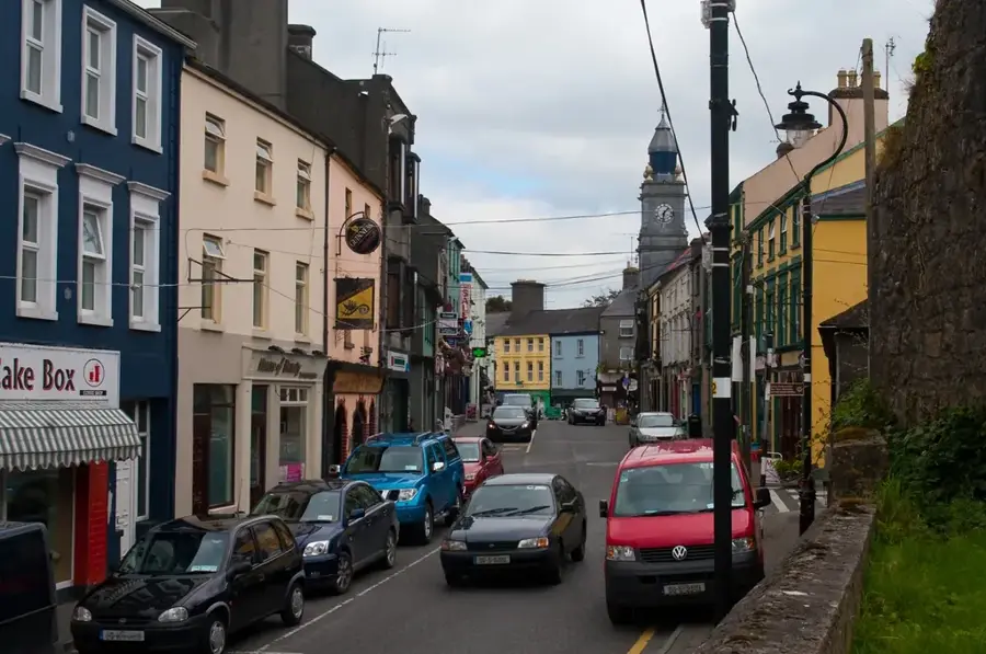
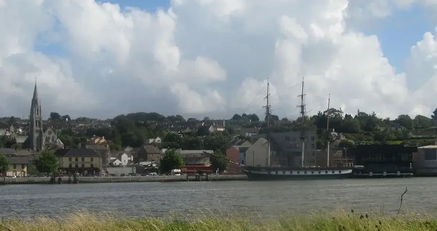
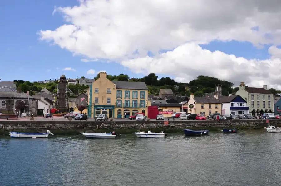
Explore nearby
Notable places around
Route planner — Car & Motorhome
Where do you start? We build the route here, with stops and country notes along the way.
© OpenStreetMap contributors · OpenRouteService
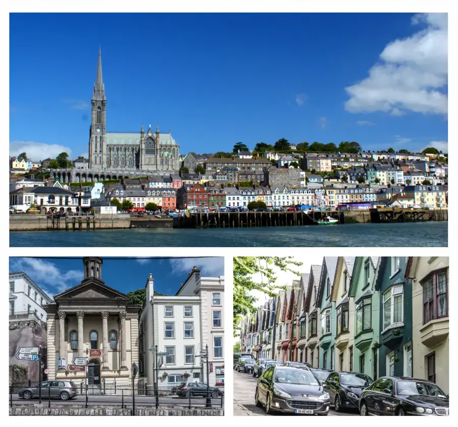
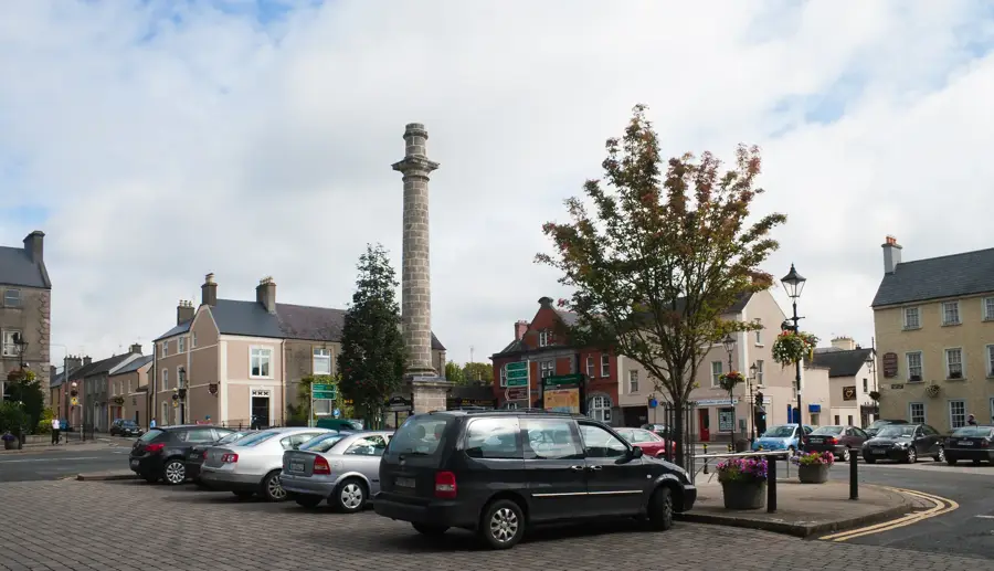
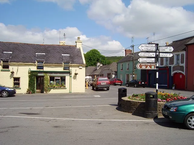
Sights in the town Caha Mountains (3)
Sights nearby
Frequently asked questions
Where are the Caha Mountains located?
What is the Healy Pass?
Are there many lakes there?
Are the hiking trails marked?
Can you drive through tunnels?
Caha Mountains: where is it located?
Caha Mountains: what is there to see?
Caha Mountains: when is the best time to visit?
Caha Mountains: why is it worth visiting?

Nearby cities