Plizio Visual Lab
Ballymore Fort
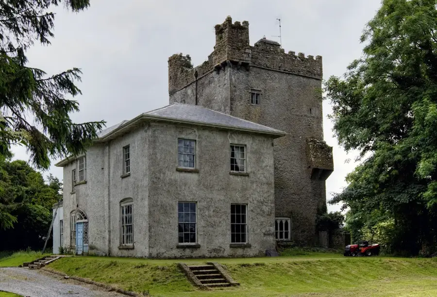
Ballymore Fort in County Westmeath was a strategically vital military installation during the Williamite War in Ireland at the end of the 17th century. The fortification was constructed in 1690 by English engineers as a star-shaped fort, adhering to contemporary continental defensive standards to secure the critical route between Mullingar and Athlone. In June 1691, the fort became the site of an intensive ten-day siege conducted by the forces of General Ginkel. The defenders, comprising roughly 1,000 Irish Jacobite soldiers under the command of Colonel Ulick Burke, offered determined resistance but were eventually forced to surrender due to the besiegers' superior heavy artillery. The fall of Ballymore paved the way for the decisive Williamite assault on Athlone and ultimately the pivotal Battle of Aughrim. Although only earthworks and ditches remain visible today, the site is of immense historical significance for understanding military transitions and the introduction of modern trace italienne fortification techniques to Ireland.
- Location: Ireland
- Nearby: Moate (14 km)
Best time to visit & climate
The most pleasant time to visit is Jun–Aug.
| Jan | Feb | Mar | Apr | May | Jun | Jul | Aug | Sep | Oct | Nov | Dec | |
|---|---|---|---|---|---|---|---|---|---|---|---|---|
| Avg °C | 5 | 5 | 6 | 8 | 11 | 14 | 15 | 15 | 13 | 10 | 7 | 5 |
| Rain mm | 111 | 88 | 85 | 72 | 85 | 95 | 101 | 111 | 89 | 109 | 120 | 116 |
📋 Practical info
Geography
Facts
- Constructed in 1690 as a modern star-shaped fort
- Site of an intensive ten-day siege in June 1691
- Defended by 1,000 Jacobite soldiers under Ulick Burke
- Captured by General Ginkel for King William III
- Strategically located between Mullingar and Athlone
- Visible remains today are primarily extensive earthworks
Explore nearby
Notable places around
Route planner — Car & Motorhome
Where do you start? We build the route here, with stops and country notes along the way.
© OpenStreetMap contributors · OpenRouteService
Sights nearby
Frequently asked questions
Where is Ballymore Fort located?
When did the Siege of Ballymore take place?
Can you visit the fort today?
Who defended the fort?
Are there information boards?
Ballymore Fort: where is it located?
Ballymore Fort: when is the best time to visit?
Ballymore Fort: why is it worth visiting?

Nearby cities