Plizio Visual Lab
Bahr al-Najaf Depression
Weather…
Water temperature…
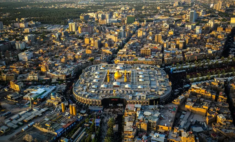
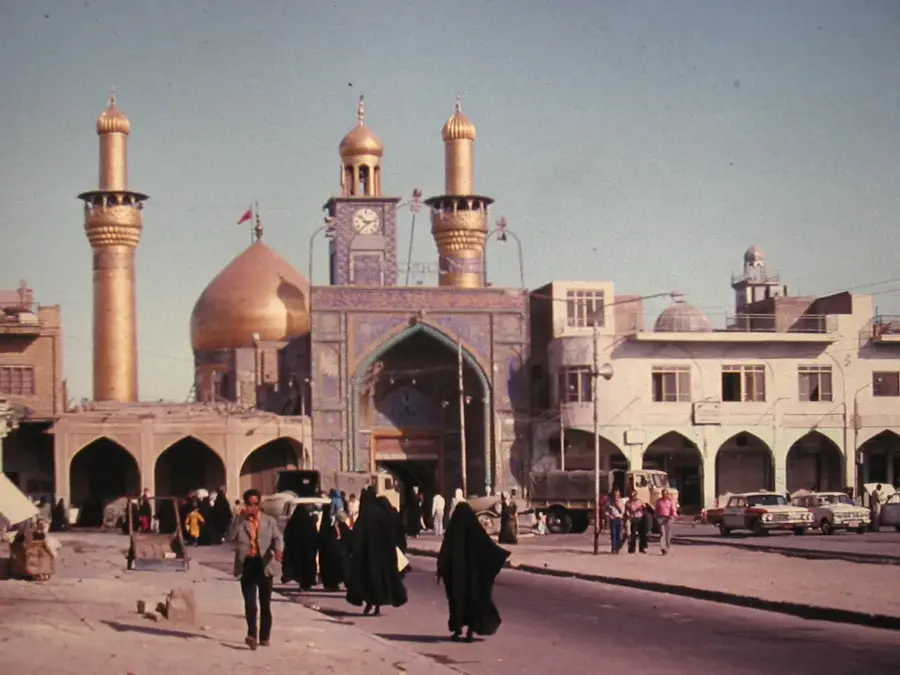
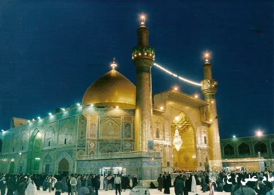
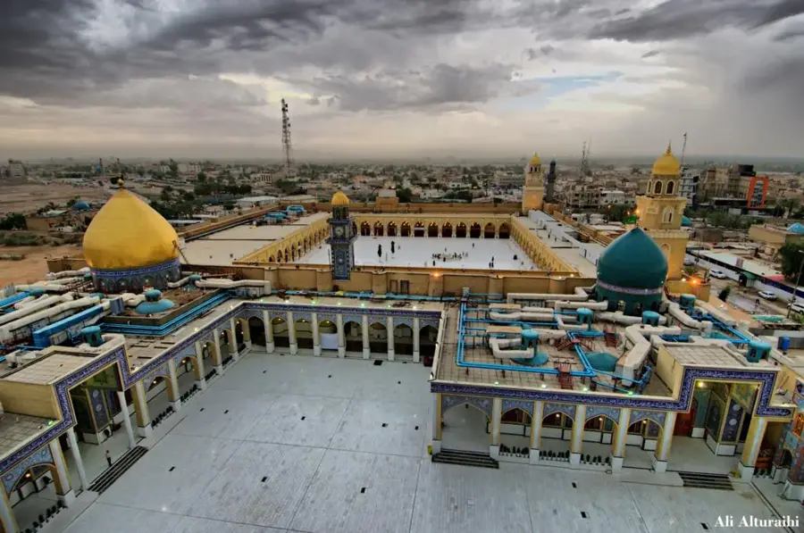
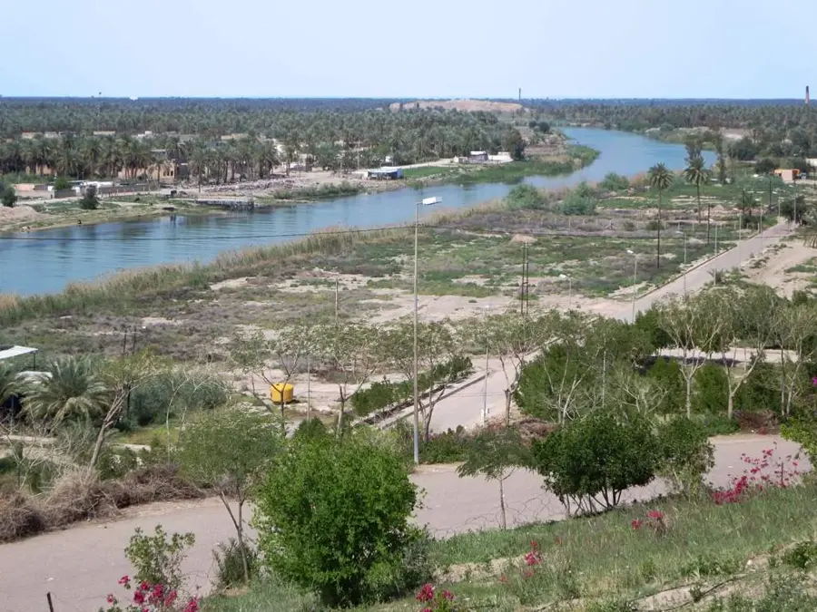
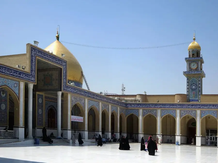
The Bahr al-Najaf Depression is located immediately to the west of the holy city of Najaf in central Iraq, representing a fascinating geological depression. This lowland was part of a larger sea or lake in ancient times and is now marked by a seasonal body of water known as the Lake of Najaf. Geomorphologically, the depression was formed by the collapse of the limestone plateau, resulting in steep cliffs along its edges. The area is of great agricultural significance, as the high groundwater table allows for the cultivation of date palms, orchards, and grains in an otherwise arid region. Historically, the depression was an important part of the territory of the ancient Al-Hira kingdom and served as a natural defensive line. In recent years, projects to revive the lake have helped increase local biodiversity and attract migratory birds. The depression provides a sharp topographical contrast to the elevated location of Najaf city and is an essential component of the local ecosystem and cultural landscape.
- Location: Iraq
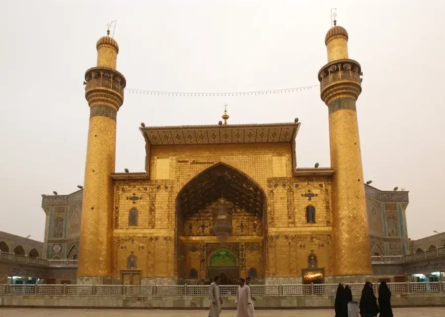
- Nearby: Kufa (13 km)
Best time to visit & climate
The most pleasant time to visit is Mar, Apr, Nov.
| Jan | Feb | Mar | Apr | May | Jun | Jul | Aug | Sep | Oct | Nov | Dec | |
|---|---|---|---|---|---|---|---|---|---|---|---|---|
| Avg °C | 10 | 12 | 18 | 24 | 31 | 36 | 38 | 38 | 33 | 27 | 17 | 11 |
| Rain mm | 20 | 16 | 13 | 13 | 5 | 0 | 0 | 0 | 0 | 8 | 18 | 13 |
📋 Practical info
Geography
Facts
- The depression lies between 10 and 40 meters below the surrounding plateau.
- It contains the Sea of Najaf, which fluctuates in size seasonally.
- Geological evidence suggests the area was submerged under sea water millennia ago.
- The basin is a vital source of salt production for the local region.
- Ancient canals from the Sassanid era have been found within the depression.
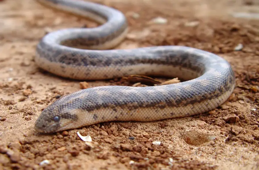
- It supports a unique wetland ecosystem that attracts hundreds of bird species.
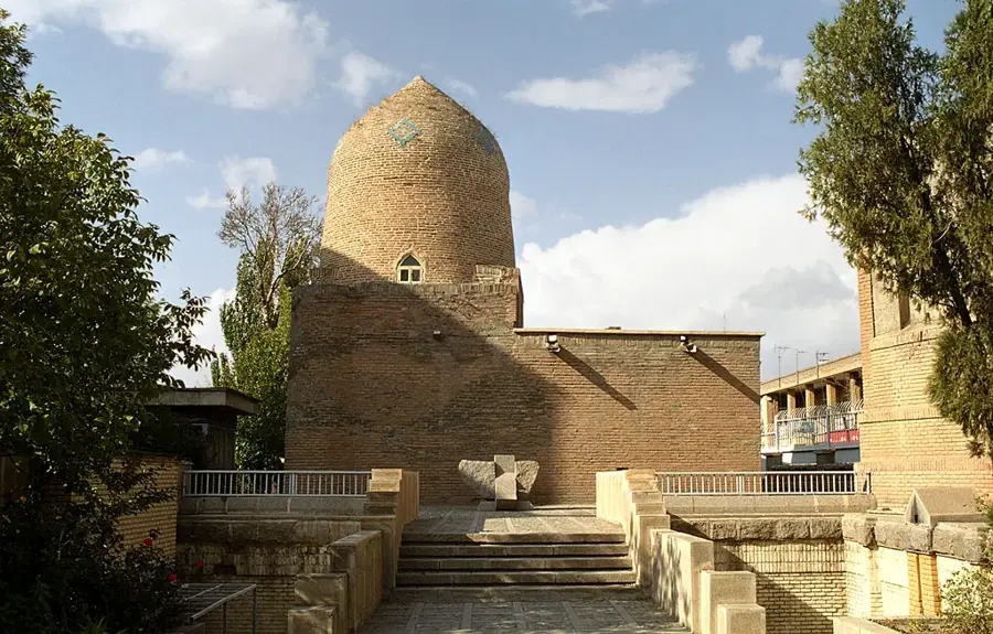
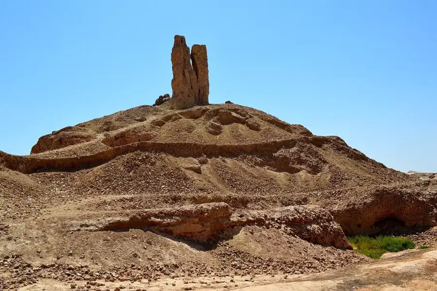
Explore nearby
Notable places around
Route planner — Car & Motorhome
Where do you start? We build the route here, with stops and country notes along the way.
© OpenStreetMap contributors · OpenRouteService
Sights in the town Bahr al-Najaf Depression (1)
Sights nearby
Frequently asked questions
What is the Bahr al-Najaf depression?
Can you visit the depression?
Are there attractions there?
Is the area safe?
How to reach the depression?
Bahr al-Najaf Depression: where is it located?
Bahr al-Najaf Depression: when is the best time to visit?
Bahr al-Najaf Depression: why is it worth visiting?

Nearby cities
History & landmarks
More places