Plizio Visual Lab
Hawizeh Marshes
Weather…
Water temperature…
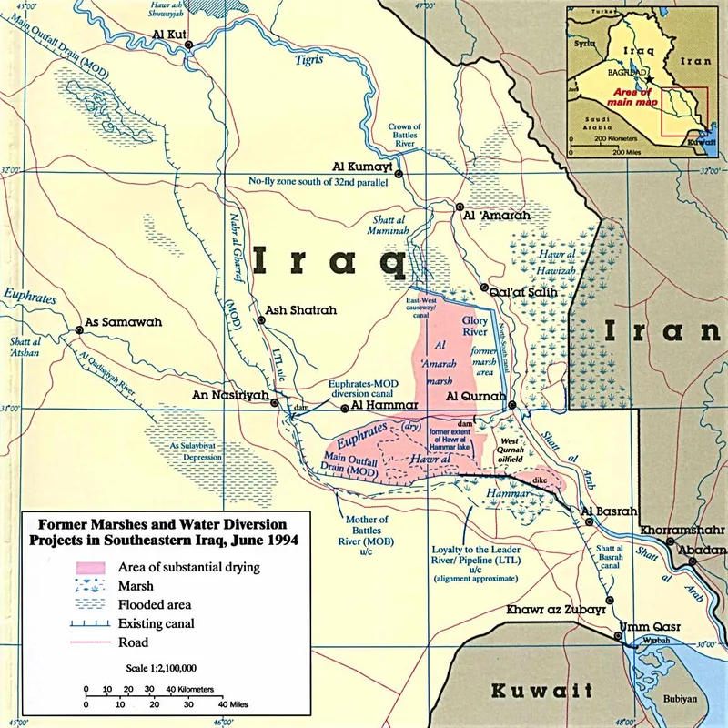
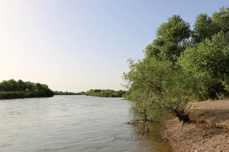
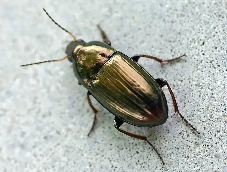
The Hawizeh Marshes form a transboundary wetland ecosystem located between the southern region of Iraq and the Iranian province of Khuzestan, an area that can expand up to 3,000 square kilometers in years with abundant precipitation. The primary water supply is provided by the course of the Karkheh River in Iran, as well as branches that separate from the Tigris River. Unlike the Central or Hammar Marshes, the Hawizeh system was not completely destroyed during the massive drainage campaigns implemented in the 1990s, functioning as a vital refuge for rare species of flora and fauna. Since 2007, extensive areas of this perimeter benefit from protection under the Ramsar Convention, and in 2016 they were integrated into the Ahwar UNESCO World Heritage site.
- Location: Iraq
- Nearby: Mesopotamian Marshes (82 km)
Best time to visit & climate
The most pleasant time to visit is Mar, Apr, Nov.
| Jan | Feb | Mar | Apr | May | Jun | Jul | Aug | Sep | Oct | Nov | Dec | |
|---|---|---|---|---|---|---|---|---|---|---|---|---|
| Avg °C | 12 | 14 | 20 | 26 | 33 | 37 | 40 | 39 | 35 | 29 | 19 | 13 |
| Rain mm | 30 | 19 | 16 | 14 | 6 | 2 | 2 | 0 | 0 | 11 | 27 | 29 |
📋 Practical info
Geography
Facts
- Marsh area can expand up to 3,000 sq km.
- Fed predominantly by the Karkheh River from Iran.
- Partially survived the massive 1990s drainages.
- Officially protected by the Ramsar Convention in 2007.
- Included in the UNESCO World Heritage in 2016.
- Critical habitat for the threatened Basra reed warbler.
Explore nearby
Notable places around
Route planner — Car & Motorhome
Where do you start? We build the route here, with stops and country notes along the way.
© OpenStreetMap contributors · OpenRouteService
Sights nearby
Frequently asked questions
Where are the Hawizeh Marshes located?
Are they part of the UNESCO World Heritage?
What bird species is especially important here?
How do people move around there?
Can you visit the marshes all year round?
Hawizeh Marshes: where is it located?
Hawizeh Marshes: when is the best time to visit?
Hawizeh Marshes: why is it worth visiting?

Nearby cities
More places