Plizio Visual Lab
Zayanderud
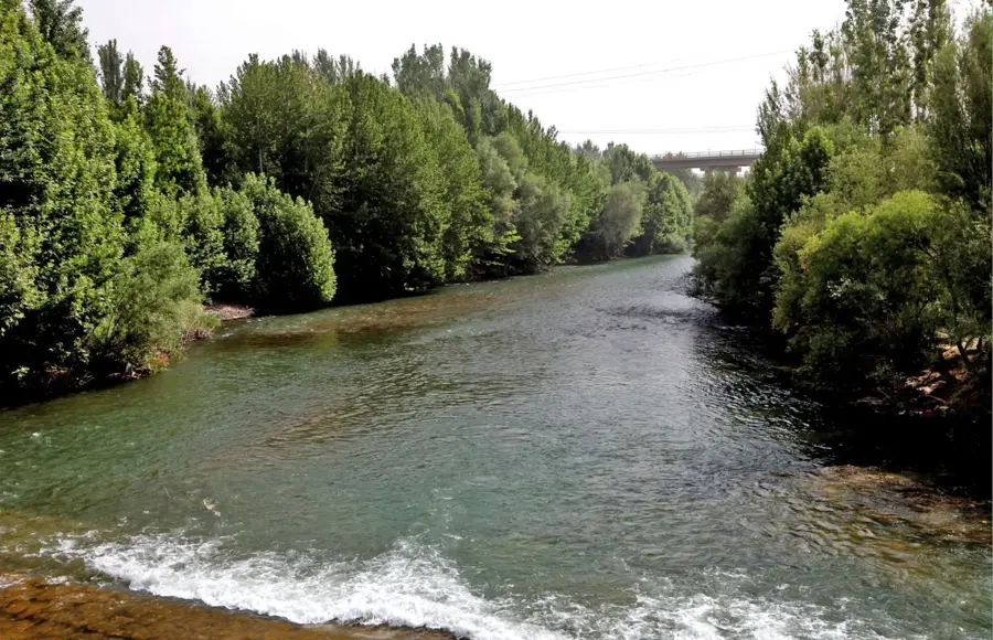
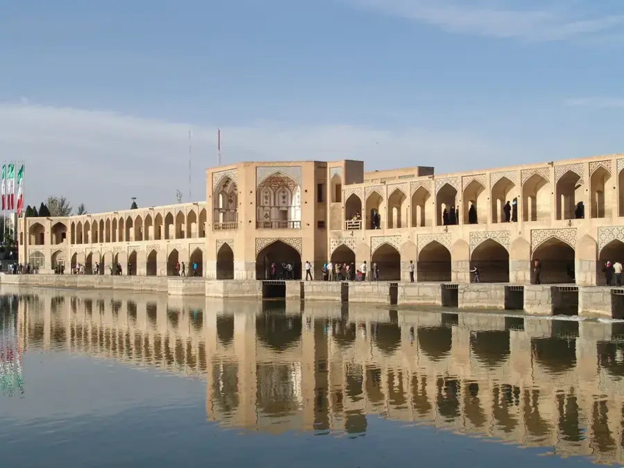
The Zayanderud is the longest watercourse of the central Iranian plateau, covering a distance of about 400 kilometers from its source to its mouth. The river originates in the Zardkuh mountains, within the Chaharmahal and Bakhtiari province. Flowing eastward, it crosses the historical city of Isfahan, which has a population of over one million, before finally emptying into the endorheic salt marsh of the Gavkhouni lake in the desert. The river has immense historical significance, as it enabled the formation of agricultural oases and urban centers in an otherwise highly arid region. In Isfahan, architecturally outstanding bridges from the Safavid era span the river, including the 33-arch Si-o-se-pol and the Khaju Bridge built in the 17th century.
- Location: Iran
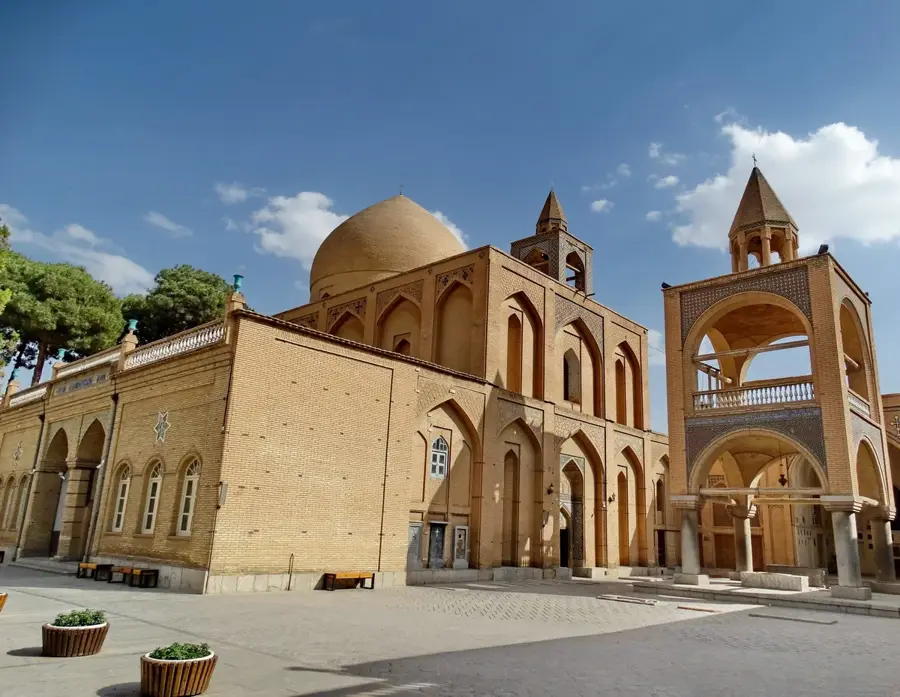
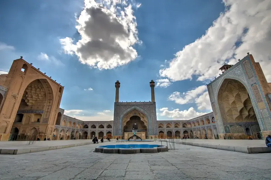
- Top sights: Soltanzadeh Ansari Mosque · alhadi
Best time to visit & climate
The most pleasant time to visit is May, Jun, Sep.
| Jan | Feb | Mar | Apr | May | Jun | Jul | Aug | Sep | Oct | Nov | Dec | |
|---|---|---|---|---|---|---|---|---|---|---|---|---|
| Avg °C | 1 | 3 | 8 | 13 | 19 | 25 | 27 | 26 | 22 | 16 | 8 | 3 |
| Rain mm | 29 | 27 | 35 | 34 | 11 | 2 | 2 | 1 | 1 | 7 | 31 | 34 |
📋 Practical info
Geography
Facts
- Its total length measured on the central plateau reaches 400 kilometers.
- Originates in the Zardkuh mountains at several thousand meters above sea level.
- Its water discharge flows into the seasonal closed salt marsh of Gavkhouni lake.
- The historical Khaju Bridge crossing the river was constructed in the 17th century.
- The 33 arches of the world-famous Si-o-se-pol bridge span the watercourse.
- Often completely dries up during the summer months due to excessive water use.
- Historically served as the most important and sole water source for Isfahan urban development.
Explore nearby
Notable places around
Route planner — Car & Motorhome
Where do you start? We build the route here, with stops and country notes along the way.
© OpenStreetMap contributors · OpenRouteService
Sights in the town Zayanderud (2)
Sights nearby
Frequently asked questions
Why is the Zayandeh Rud river so important for Isfahan?
Does the river have water all year round?
Which bridges should one visit?
Are there promenades for walking?
When is the best time for a walk by the river?
Zayanderud: where is it located?
Zayanderud: what is there to see?
Zayanderud: when is the best time to visit?
Zayanderud: why is it worth visiting?

Nearby cities
History & landmarks
More places