Plizio Visual Lab
Ciletuh-Palabuhanratu Geopark Coast
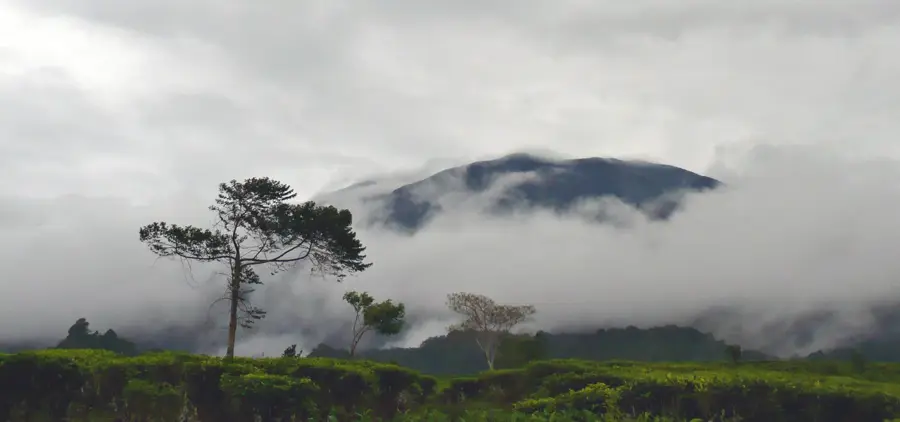
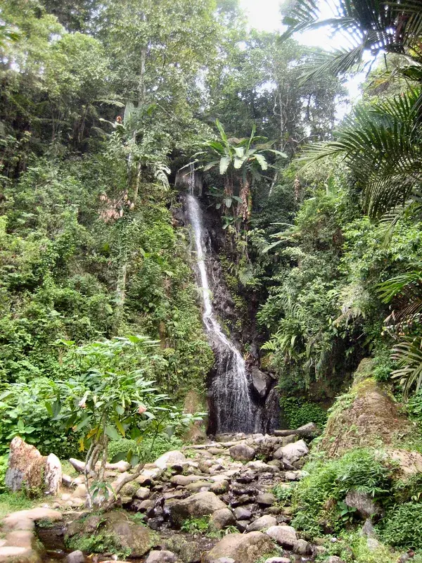
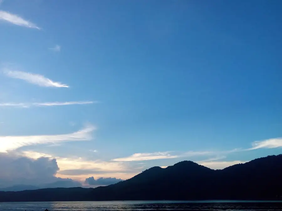
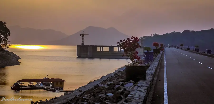
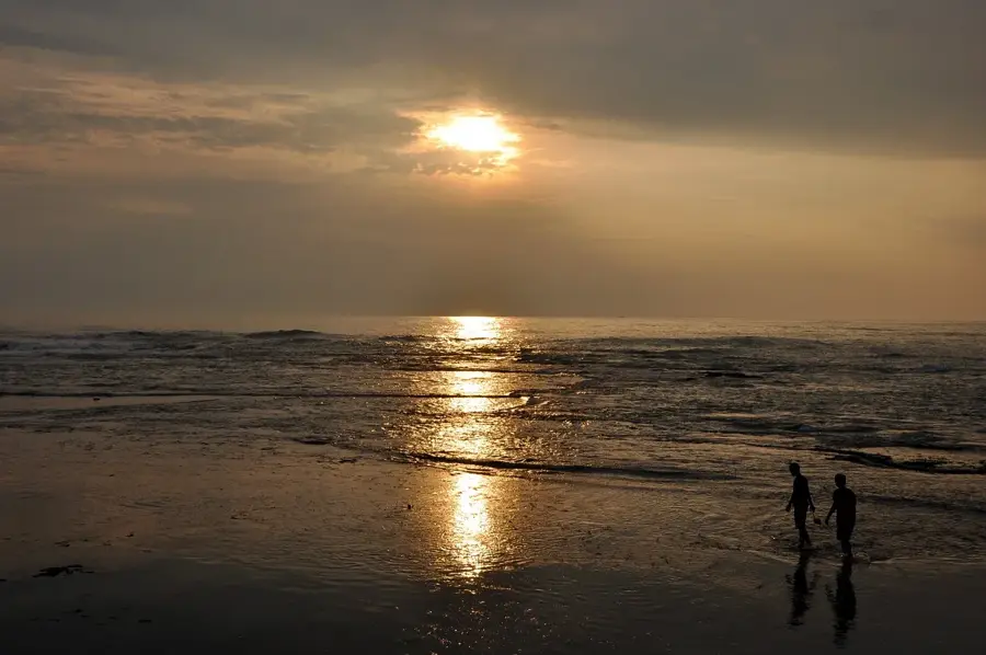
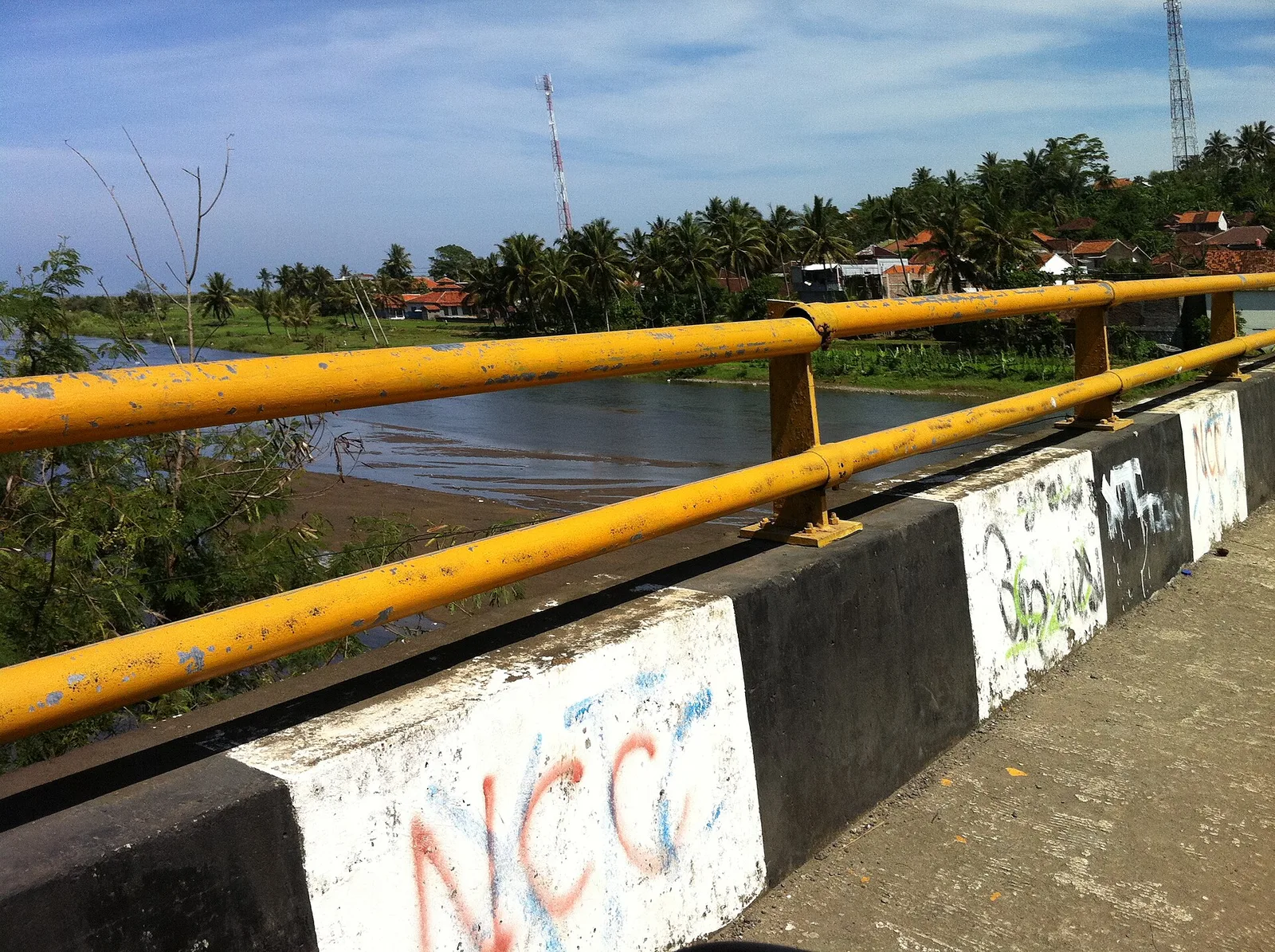
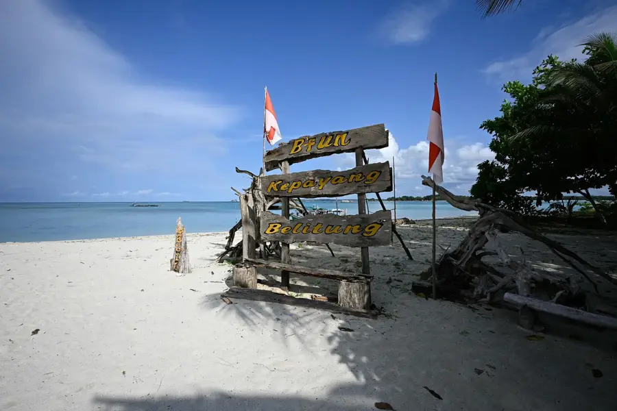
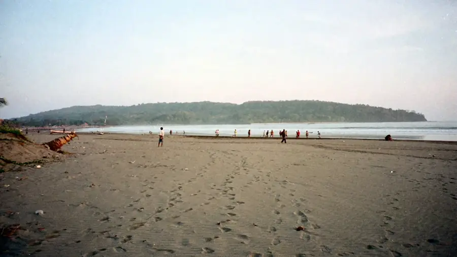
The Ciletuh-Palabuhanratu Geopark, located on the southern coast of West Java, is a UNESCO Global Geopark celebrated for its unique horseshoe-shaped 'amphitheater' relief. This massive geological formation opens directly onto the Indian Ocean, creating a sweeping vista of high cliffs, primary tropical forests, and numerous waterfalls, such as the impressive Cimarinjung. Geologically, the area is of paramount importance as it exposes Java's oldest rock formations, pre-tertiary metamorphic and oceanic rocks, uplifted to the surface through the subduction of the Indian-Australian Plate beneath the Eurasian Plate. The coastal relief is shaped by powerful surf and distinctive rock outcrops that provide a window into the island's earliest geological history. Beyond its scientific value, the geopark hosts rich biodiversity and pristine beaches, making it a key destination for sustainable ecotourism. The Palabuhanratu area is also deeply embedded in Javanese mythology, particularly through the legends of Nyi Roro Kidul, the Queen of the Southern Sea. The integration of geological wonders, scenic landscapes, and cultural heritage makes this coastline one of the most multifaceted regions in Indonesia.
- Location: Indonesia
- Top sights: Puncak Darma · Flog Rock · Palangpang
- Nearby: Sawarna (17 km)
Best time to visit & climate
The most pleasant time to visit is Jul–Sep.
| Jan | Feb | Mar | Apr | May | Jun | Jul | Aug | Sep | Oct | Nov | Dec | |
|---|---|---|---|---|---|---|---|---|---|---|---|---|
| Avg °C | 26 | 26 | 26 | 27 | 27 | 26 | 25 | 25 | 25 | 26 | 26 | 26 |
| Rain mm | 337 | 360 | 266 | 246 | 185 | 123 | 105 | 56 | 92 | 176 | 248 | 265 |
📋 Practical info
Geography
Facts
- The Ciletuh amphitheater measures roughly 15 kilometers in diameter.
- The geopark covers a total land area of 126,100 hectares.
- Features pre-Tertiary rocks, representing the oldest land on Java Island.
- Designated as a UNESCO Global Geopark in April 2018.
- Home to nine major waterfalls (Curug) within the geological basin.
- The coastal relief is influenced by high-energy Indian Ocean swells.
- Located in the Sukabumi Regency of West Java province.
Explore nearby
Notable places around
Route planner — Car & Motorhome
Where do you start? We build the route here, with stops and country notes along the way.
© OpenStreetMap contributors · OpenRouteService
Sights in the town Ciletuh-Palabuhanratu Geopark Coast (5)
Sights nearby
Frequently asked questions
What is Ciletuh Geopark?
How to get to Ciletuh Geopark from Jakarta?
Which waterfalls are most famous?
Are there good viewpoints?
Can you surf along the coast?
Ciletuh-Palabuhanratu Geopark Coast: where is it located?
Ciletuh-Palabuhanratu Geopark Coast: what is there to see?
Ciletuh-Palabuhanratu Geopark Coast: when is the best time to visit?
Ciletuh-Palabuhanratu Geopark Coast: why is it worth visiting?

Nearby cities

More places