Plizio Visual Lab
Jatiluwih Rice Fields
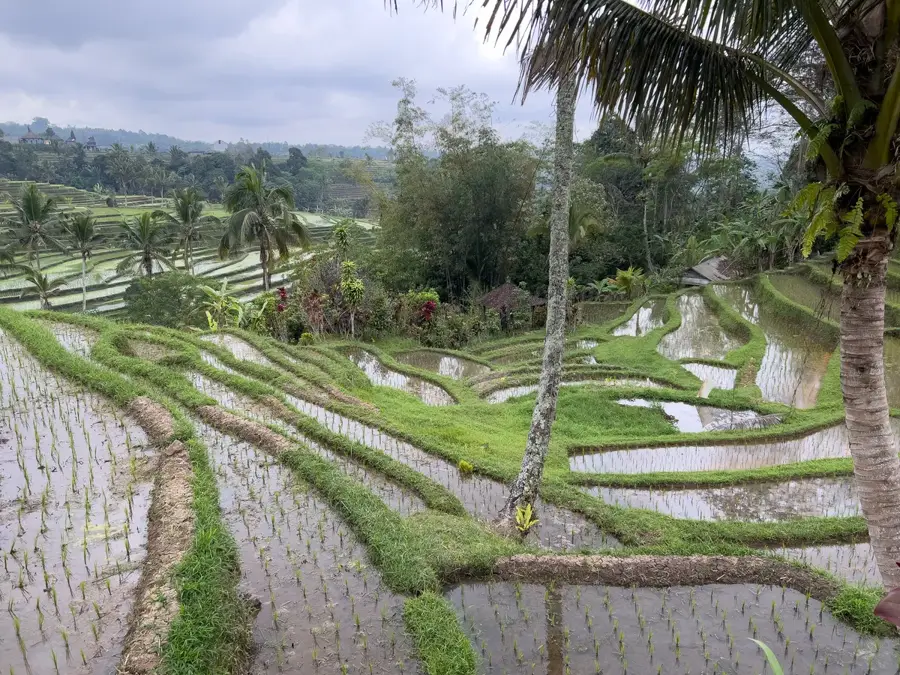
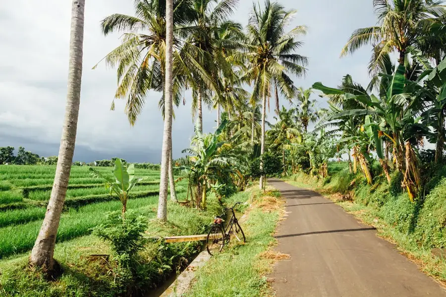
The Jatiluwih Rice Terraces are located in the Tabanan Regency of Bali, sprawling across more than 600 hectares at the foot of Mount Batukaru. They are considered one of the most spectacular examples of the traditional Balinese irrigation system known as Subak, which was designated a UNESCO World Heritage site in 2012. This system is rooted in the Tri Hita Karana philosophy, emphasizing harmony between the divine, humans, and nature, and has been in practice since the 9th century. The terraces follow the natural contours of the hilly landscape, offering vast panoramic views of lush green fields that change color depending on the stage of the rice growth cycle. Farmers in Jatiluwih primarily grow red and white rice varieties, largely avoiding modern chemical fertilizers to maintain ecological balance. Trekking paths through the fields allow visitors to gain insight into the laborious process of rice cultivation. The region is not only agriculturally significant but also serves as an important cultural symbol of the spiritual connection Balinese people share with their land.
- Location: Indonesia
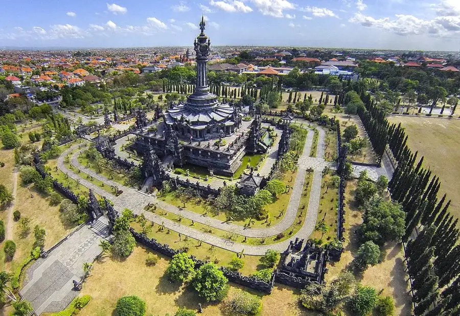
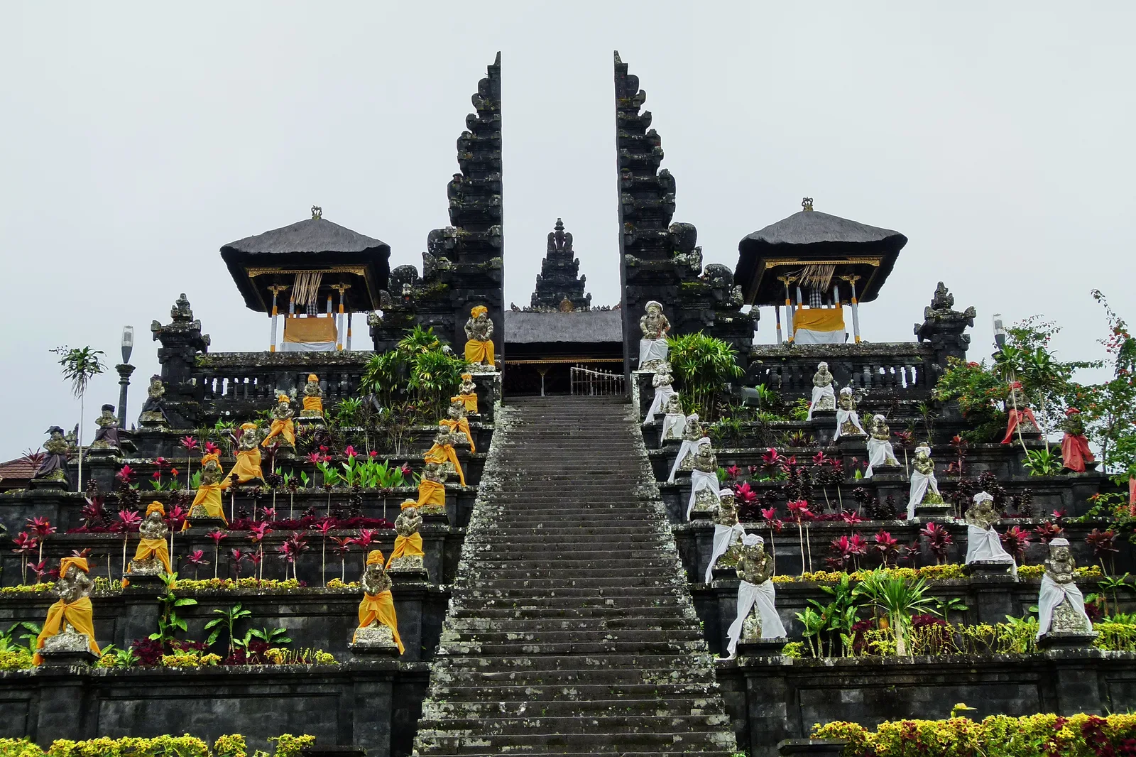
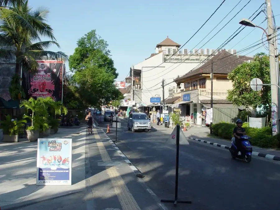
- Top sights: Pura Pucak Tedung · Batu Meringgit Temple · Gunung Adeng
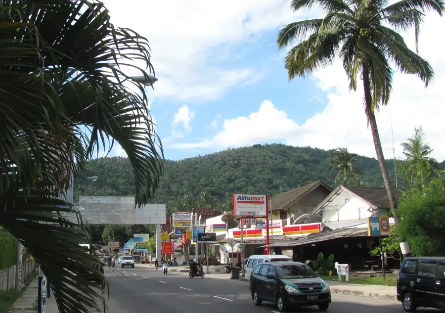
- Nearby: Pangkung Tibah (12 km)
Best time to visit & climate
The most pleasant time to visit is Jul–Sep.
| Jan | Feb | Mar | Apr | May | Jun | Jul | Aug | Sep | Oct | Nov | Dec | |
|---|---|---|---|---|---|---|---|---|---|---|---|---|
| Avg °C | 26 | 26 | 26 | 26 | 25 | 24 | 24 | 23 | 24 | 26 | 26 | 26 |
| Rain mm | 317 | 252 | 201 | 123 | 82 | 53 | 40 | 24 | 38 | 57 | 134 | 272 |
📋 Practical info
Geography
Facts
- The rice terraces were designated a UNESCO World Heritage site in 2012.
- They span across an area of approximately 600 hectares.
- The Subak irrigation system dates back to the 9th century.
- Jatiluwih is situated at an altitude of about 700 meters above sea level.
- The region is famous for the cultivation of organic red rice.
- The name Jatiluwih translates to 'really marvelous' or 'really beautiful'.
Explore nearby
Notable places around
Route planner — Car & Motorhome
Where do you start? We build the route here, with stops and country notes along the way.
© OpenStreetMap contributors · OpenRouteService
Sights in the town Jatiluwih Rice Fields (11)
Sights nearby
Frequently asked questions
Do I need a ticket for the rice fields?
When is the rice at its greenest?
Can I hike through the fields?
Are there restaurants nearby?
How are the road conditions?
Jatiluwih Rice Fields: where is it located?
Jatiluwih Rice Fields: what is there to see?
Jatiluwih Rice Fields: when is the best time to visit?
Jatiluwih Rice Fields: why is it worth visiting?

Nearby cities

More places