Plizio Visual Lab
Pir Panjal Range
Weather…
Water temperature…
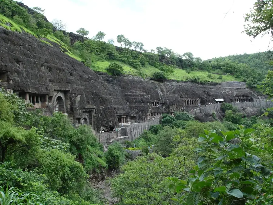
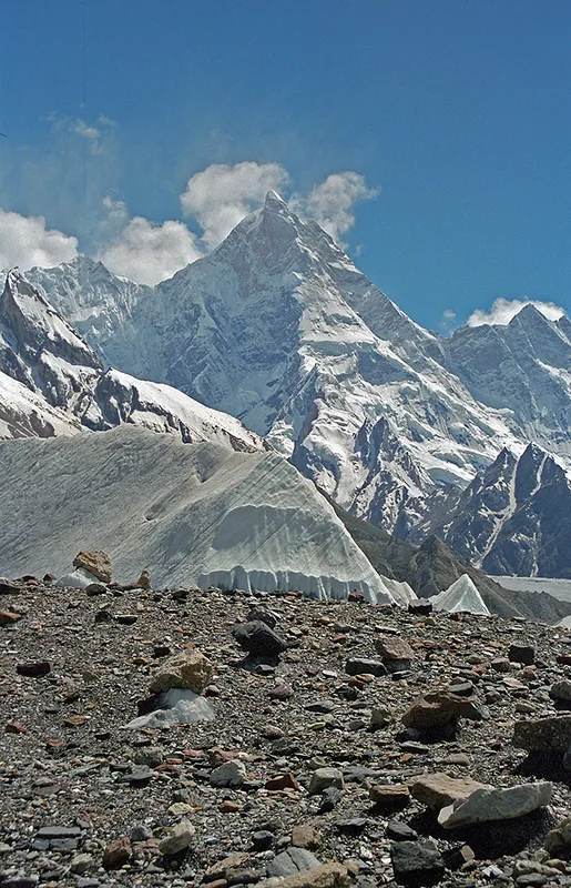
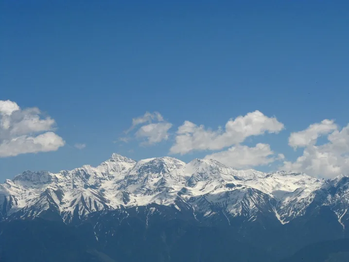
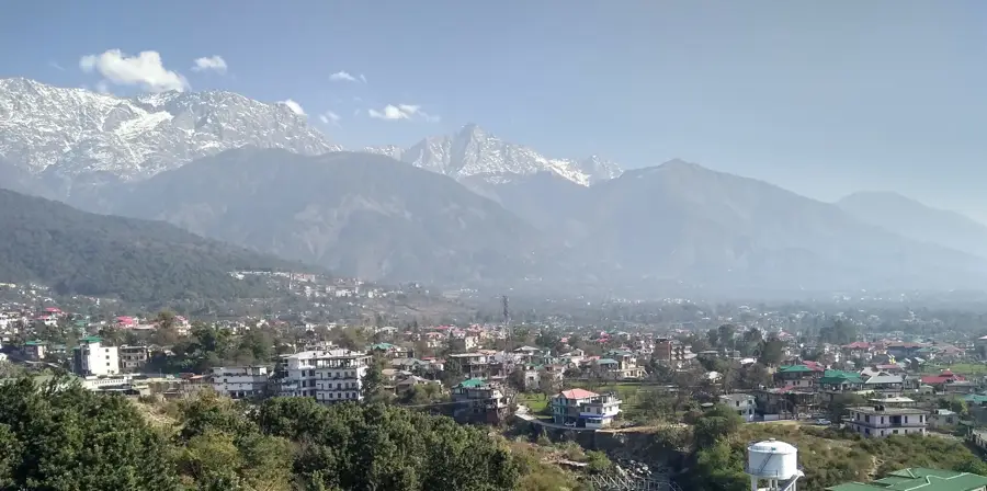
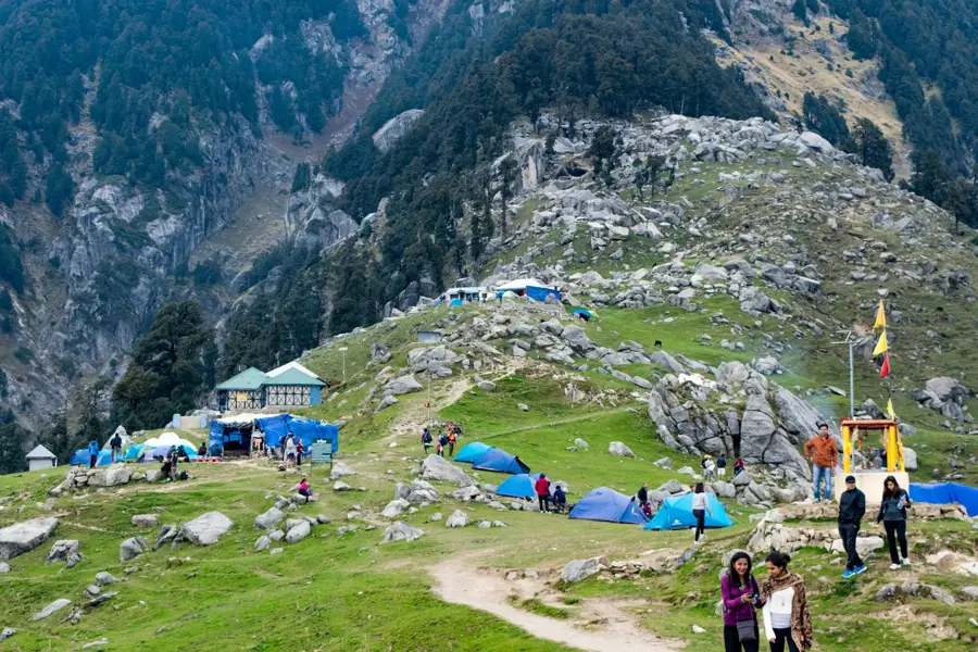
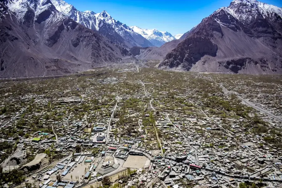
The Pir Panjal Range is the largest mountain chain of the Lesser Himalayas, stretching approximately 288 kilometers through Himachal Pradesh and Jammu & Kashmir, India. With peaks rising over 6,000 meters, such as Indrasan, the range forms a formidable barrier between the Kashmir Valley and the plains to the south. Geologically, it consists primarily of crystalline rocks and sedimentary formations uplifted during the Himalayan orogeny. The range is famous for its critical mountain passes, including the Banihal Pass and the Rohtang Pass, which serve as vital transportation corridors. The 1956-built Jawahar Tunnel under the Banihal Pass was a landmark engineering feat for year-round connectivity. The slopes are clad in dense forests of deodar and fir, home to the endangered Kashmir stag (Hangul). During winter, the range becomes a premier destination for snow sports, particularly at Gulmarg, known for its high-altitude slopes.
- Location: India
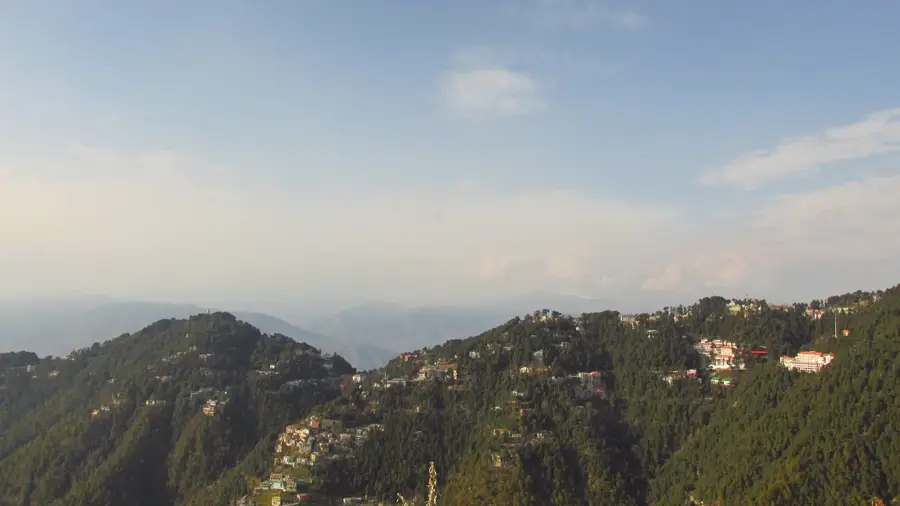
- Nearby: Dalhousie (13 km)
Best time to visit & climate
The most pleasant time to visit is May, Jun, Sep.
| Jan | Feb | Mar | Apr | May | Jun | Jul | Aug | Sep | Oct | Nov | Dec | |
|---|---|---|---|---|---|---|---|---|---|---|---|---|
| Avg °C | -7 | -5 | -1 | 4 | 8 | 12 | 13 | 13 | 9 | 5 | 0 | -4 |
| Rain mm | 49 | 69 | 82 | 57 | 41 | 66 | 159 | 156 | 76 | 17 | 23 | 26 |
📋 Practical info
Geography
Facts
- Indrasan is the highest peak in the Pir Panjal Range at 6,221 meters.
- The Pir Panjal Railway Tunnel is India's longest transport tunnel at 11.2 km.
- The range hosts the Rohtang Pass, a high-altitude gateway to Lahaul and Spiti.
- The Jawahar Tunnel, built in 1956, ensures winter access to Srinagar.
- Gulmarg's cable car is one of the highest in the world, reaching nearly 4,000m.
- The range is composed of ancient igneous rocks as well as younger sediments.
Explore nearby
Notable places around
Route planner — Car & Motorhome
Where do you start? We build the route here, with stops and country notes along the way.
© OpenStreetMap contributors · OpenRouteService
Sights in the town Pir Panjal Range (1)
Sights nearby
Frequently asked questions
Where is the Pir Panjal Range located?
Can you go skiing there?
What is the Rohtang Pass?
Which tunnel passes through the range?
When is there snow on the range?
Pir Panjal Range: where is it located?
Pir Panjal Range: when is the best time to visit?
Pir Panjal Range: why is it worth visiting?

Nearby cities
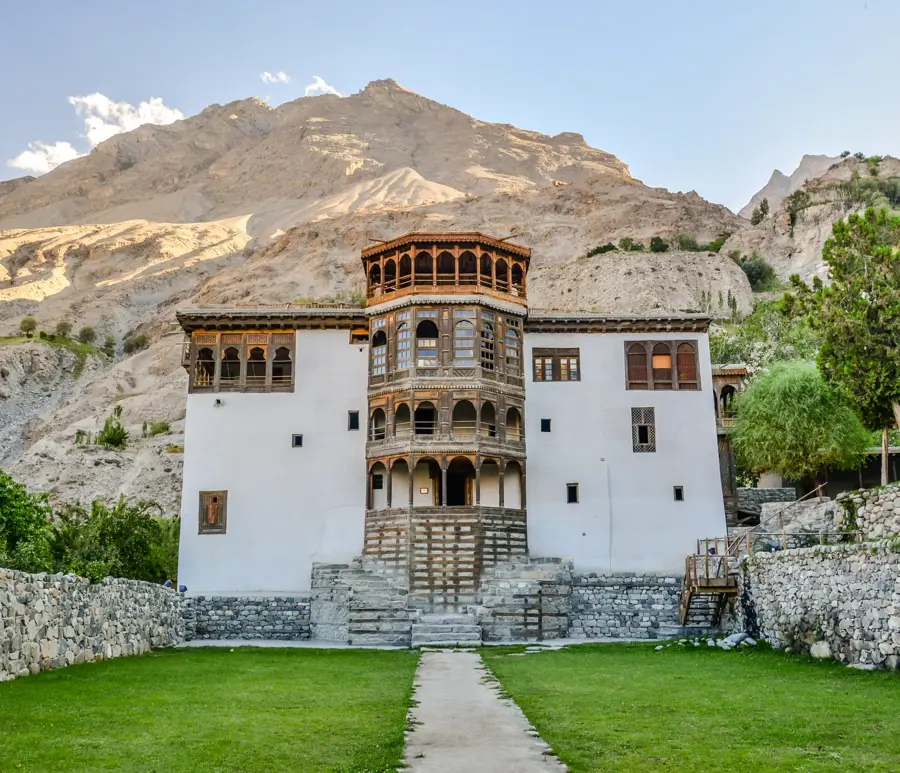
History & landmarks
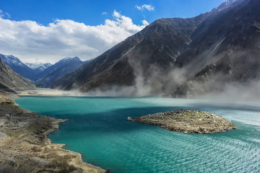
Nature
More places