Plizio Visual Lab
Parvati Valley
Weather…
Water temperature…
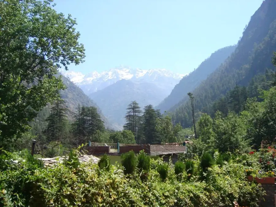
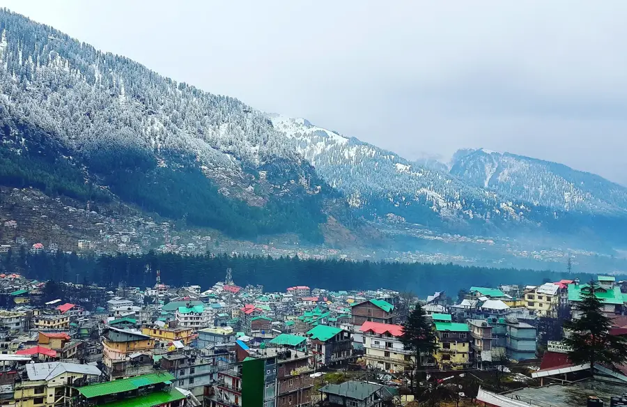
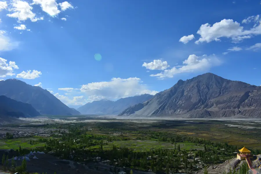
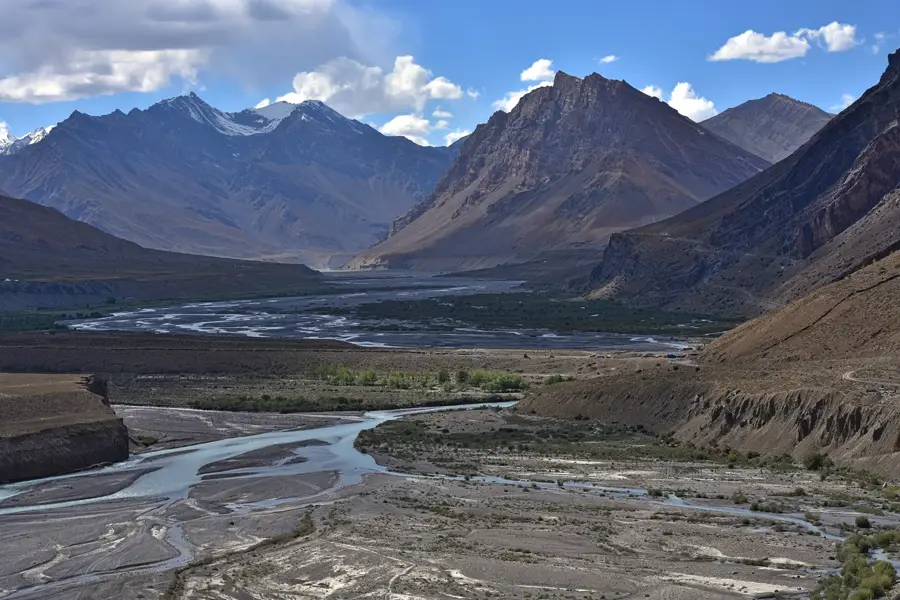
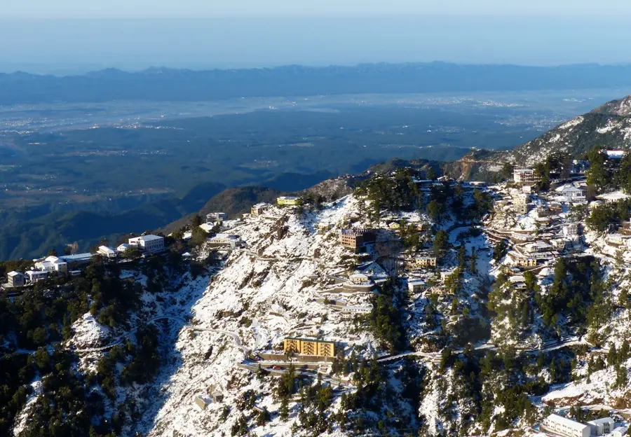
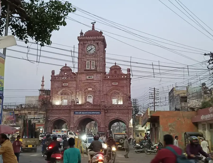
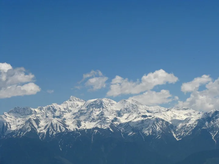
Parvati Valley in the Indian state of Himachal Pradesh is one of the most impressive glacial valleys in the Western Himalayas. It stretches along the Parvati River from its confluence with the Beas River at Bhuntar up to the high-altitude Pin Parvati Pass at 5,319 meters. The valley is characterized by dense coniferous forests, rushing mountain streams, and steep cliffs overlooked by snow-capped peaks. The region is famous for its geothermal activity, particularly the hot sulfur springs at Manikaran, which hold immense religious significance for both Hindus and Sikhs. The valley is home to isolated mountain villages like Malana, which claims to be one of the oldest democracies in the world and maintains its own unique language. For trekkers, routes to the Kheerganga meadows and Mantalai Lake, the source of the river, offer challenging and scenic adventures. Over the years, Kasol has emerged as a major international hub for travelers, blending local traditions with a spirited backpacker culture.
- Location: India
- Top sights: topa thach · waterfall viewpoint · misora thach
- Nearby: Kasol (21 km)
Best time to visit & climate
The most pleasant time to visit is May, Jun, Oct.
| Jan | Feb | Mar | Apr | May | Jun | Jul | Aug | Sep | Oct | Nov | Dec | |
|---|---|---|---|---|---|---|---|---|---|---|---|---|
| Avg °C | -11 | -10 | -5 | -1 | 3 | 7 | 9 | 8 | 5 | 0 | -4 | -8 |
| Rain mm | 36 | 42 | 40 | 30 | 35 | 105 | 217 | 226 | 115 | 11 | 11 | 12 |
📋 Practical info
Geography
Facts
- The Pin Parvati Pass at 5,319 meters connects the lush valley to the Spiti desert.
- Manikaran's hot springs are so hot that pilgrims cook rice and dal in the water.
- The village of Malana has its own distinct social structure and ancient taboos.
- Mantalai Lake, at 4,116 meters, marks the snout of the glacier feeding the river.
- The valley is a gateway to the Great Himalayan National Park, a UNESCO site.
- The Parvati River falls nearly 4,000 meters from its source to its mouth at Bhuntar.
Explore nearby
Notable places around
Route planner — Car & Motorhome
Where do you start? We build the route here, with stops and country notes along the way.
© OpenStreetMap contributors · OpenRouteService
Sights in the town Parvati Valley (5)
Sights nearby
Frequently asked questions
What is Parvati Valley famous for?
Which town is the main hub?
Are there hot springs there?
What is the most popular trek?
When should you avoid the valley?
Parvati Valley: where is it located?
Parvati Valley: what is there to see?
Parvati Valley: when is the best time to visit?
Parvati Valley: why is it worth visiting?

Nearby cities