Plizio Visual Lab
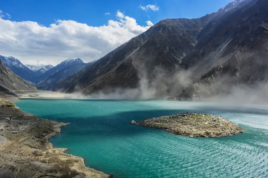
Satpara Lake
Weather…
Water temperature…
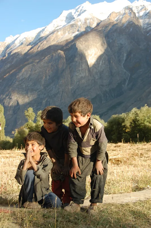
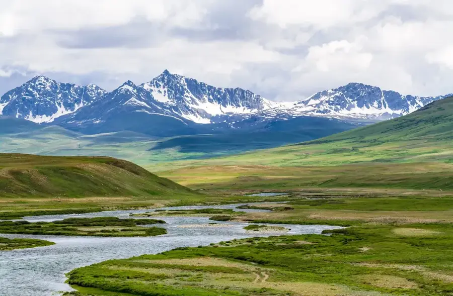
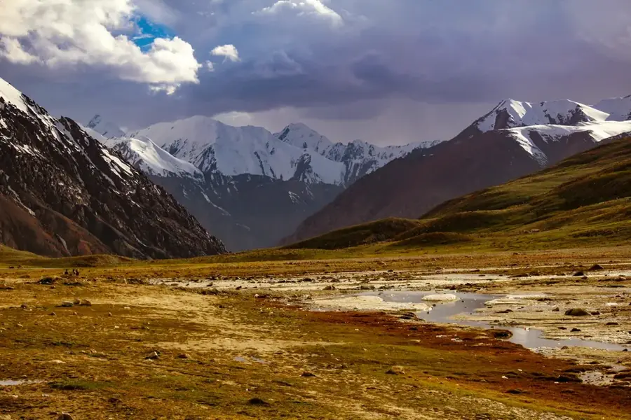
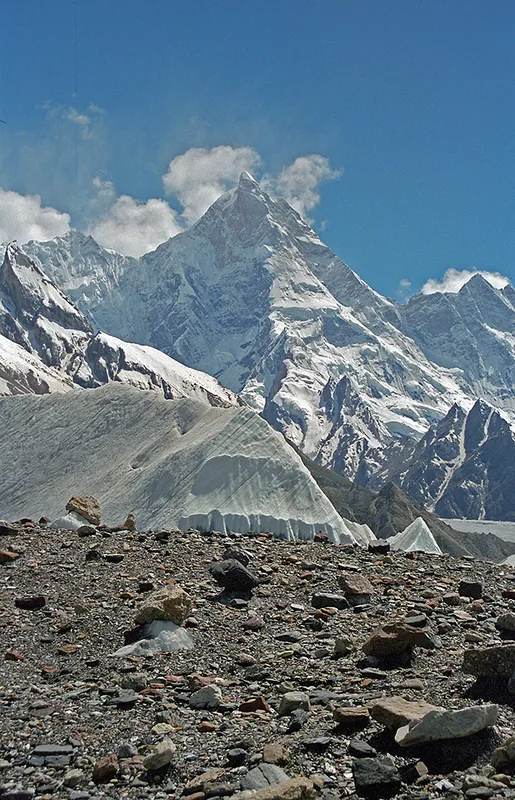
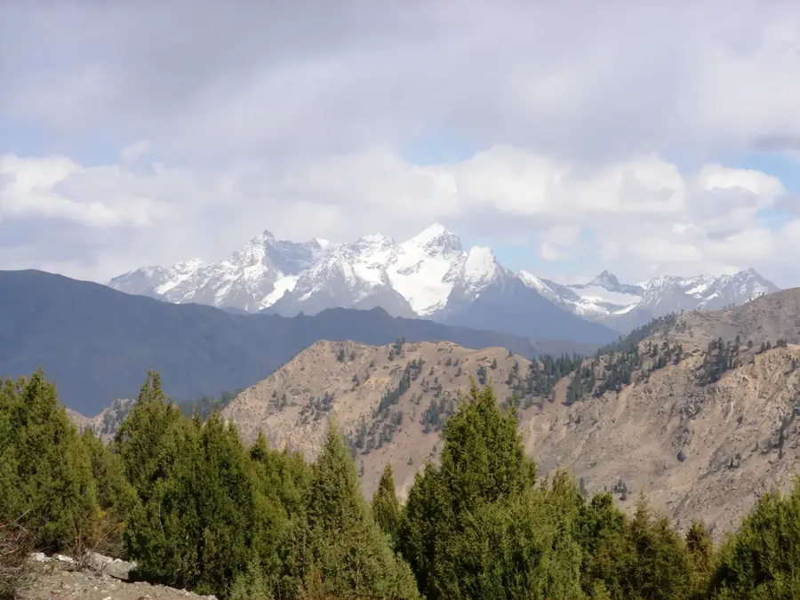
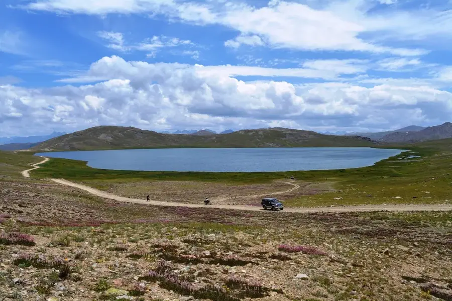
Satpara Lake is a natural lake located near Skardu in the Gilgit-Baltistan region of Pakistan, sitting at an elevation of 2,636 meters. Surrounded by the majestic peaks of the Karakoram Range, the lake is famed for its deep blue, crystal-clear waters. It is primarily fed by the melting snow from the Deosai Plateau, which flows into the lake via the Satpara Stream. A small, scenic island sits in the middle of the lake, accessible only by boat. Historically and economically, the lake is of vital importance as it serves as the primary water source for Skardu town. Between 2003 and 2011, the construction of the Satpara Dam expanded the lake's capacity to enhance hydroelectric power generation and irrigation for the surrounding area. The lake environment has excellent opportunities for trout fishing and boating, making it a popular destination for both domestic and international tourists. The serene atmosphere and the reflection of the surrounding mountains on its surface make it one of the most photogenic spots in the Baltistan Valley.
- Location: Pakistan
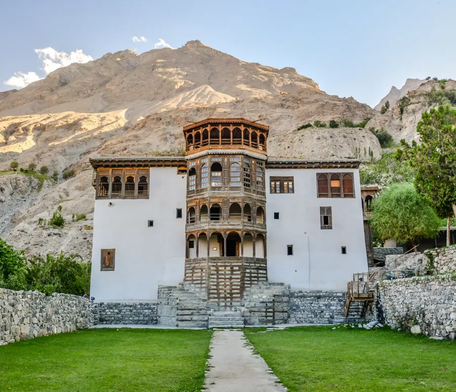
- Top sights: City Park Sakardu · Manthal Buddha Rock · City Viewpoint
- Nearby: Shangrila (Lower Kachura Lake) (21 km)
Best time to visit & climate
The most pleasant time to visit is Jun–Aug.
| Jan | Feb | Mar | Apr | May | Jun | Jul | Aug | Sep | Oct | Nov | Dec | |
|---|---|---|---|---|---|---|---|---|---|---|---|---|
| Avg °C | -16 | -14 | -9 | -3 | 2 | 6 | 10 | 10 | 5 | -1 | -7 | -13 |
| Rain mm | 45 | 56 | 56 | 55 | 35 | 34 | 36 | 41 | 26 | 15 | 28 | 21 |
📋 Practical info
Geography
Facts
- The lake is situated at an elevation of 2,636 meters above sea level.
- It is located approximately 9 kilometers from the town of Skardu.
- The Satpara Dam was officially completed and commissioned in 2011.
- The lake is a primary habitat for rainbow trout in the region.
- The central island is a signature landmark for local photography.
- Following the dam construction, the lake covers about 4.5 km².
Explore nearby
Notable places around
Route planner — Car & Motorhome
Where do you start? We build the route here, with stops and country notes along the way.
© OpenStreetMap contributors · OpenRouteService
Sights in the town Satpara Lake (4)
Sights nearby
Frequently asked questions
How far is Satpara Lake from Skardu?
Can one boat there?
Are there fishing opportunities?
Is the water safe for human consumption?
How is the weather there?
Satpara Lake: where is it located?
Satpara Lake: what is there to see?
Satpara Lake: when is the best time to visit?
Satpara Lake: why is it worth visiting?

Nature
More places