Plizio Visual Lab
Drangajökull
Weather…
Water temperature…
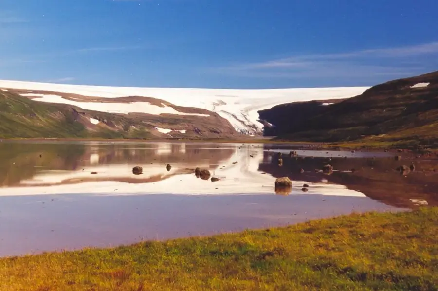
Drangajökull is the northernmost glacier in Iceland and the only major ice cap in the Westfjords region. Spanning an area of approximately 160 square kilometers, it is the country's fifth largest glacier. A distinctive feature of Drangajökull is that it is the only Icelandic glacier situated entirely below an altitude of 1,000 meters, with its peak reaching about 925 meters. Unlike many other glaciers in Iceland that are shrinking significantly due to climate change, Drangajökull has shown a relatively stable mass balance in recent decades, which researchers attribute to local climatic conditions and high precipitation rates. It covers a rugged plateau and feeds several rivers that drain into the surrounding fjords. The remoteness of the Westfjords makes this glacier one of the least visited areas on the island, preserving its pristine wilderness character. Scientific investigations here primarily focus on the resilience of smaller ice masses to rising temperatures in Arctic latitudes.
- Location: Iceland
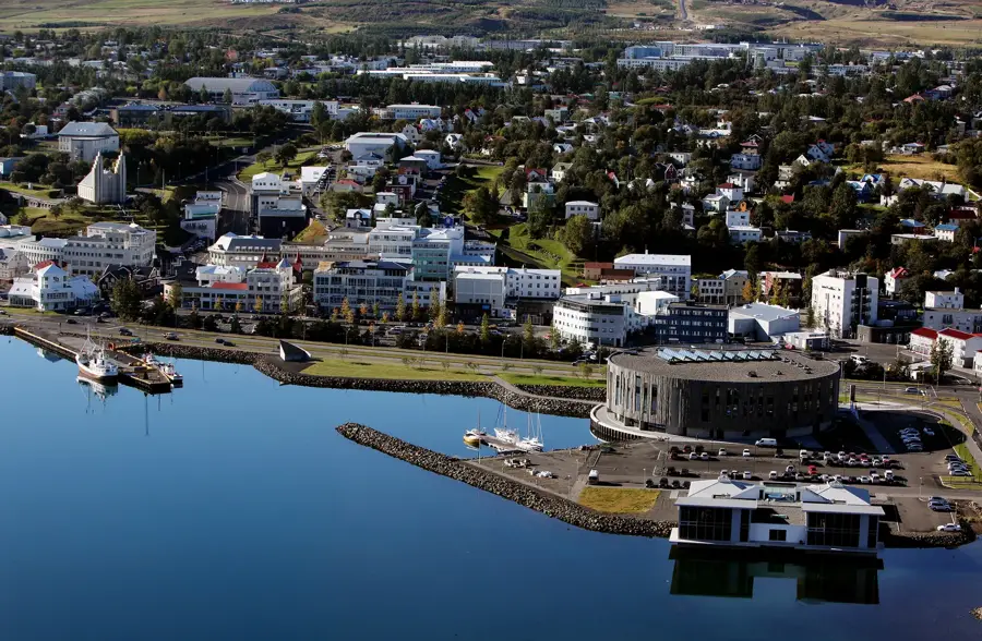
- Nearby: Vigur (29 km)
Best time to visit & climate
The most pleasant time to visit is Jun–Aug.
| Jan | Feb | Mar | Apr | May | Jun | Jul | Aug | Sep | Oct | Nov | Dec | |
|---|---|---|---|---|---|---|---|---|---|---|---|---|
| Avg °C | -2 | -3 | -2 | -1 | 2 | 6 | 8 | 7 | 5 | 2 | -1 | -2 |
| Rain mm | 157 | 139 | 134 | 114 | 93 | 64 | 93 | 109 | 140 | 165 | 143 | 165 |
📋 Practical info
Geography
Facts
- The northernmost glacier in Iceland, located in the Westfjords.
- The only glacier in the country situated entirely below 1,000m.
- Iceland's fifth largest glacier, covering about 160 km².
- Has maintained a relatively stable mass balance recently.
- Reaches a maximum altitude of approximately 925 meters.
- One of the least visited and most remote glaciers on the island.
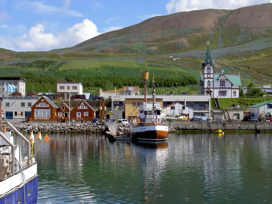
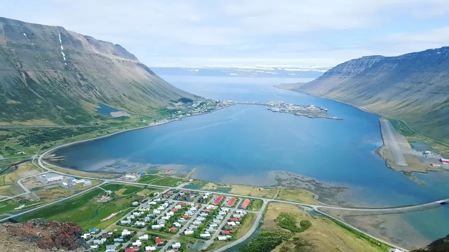
Explore nearby
Notable places around
Route planner — Car & Motorhome
Where do you start? We build the route here, with stops and country notes along the way.
© OpenStreetMap contributors · OpenRouteService
Sights in the town Drangajökull (1)
Sights nearby
Frequently asked questions
Where is Drangajökull located?
What is unique about this glacier?
What is its altitude?
Is it easy to visit?
Are there guided tours available?
Drangajökull: where is it located?
Drangajökull: when is the best time to visit?
Drangajökull: why is it worth visiting?

Nearby cities