Plizio Visual Lab
Tung Lung Chau Special Area
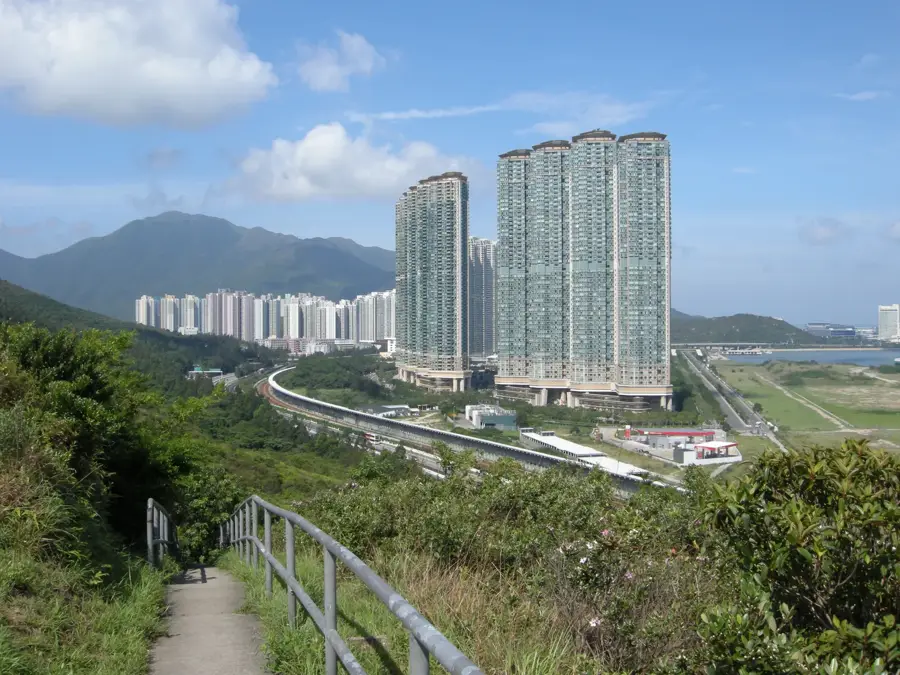
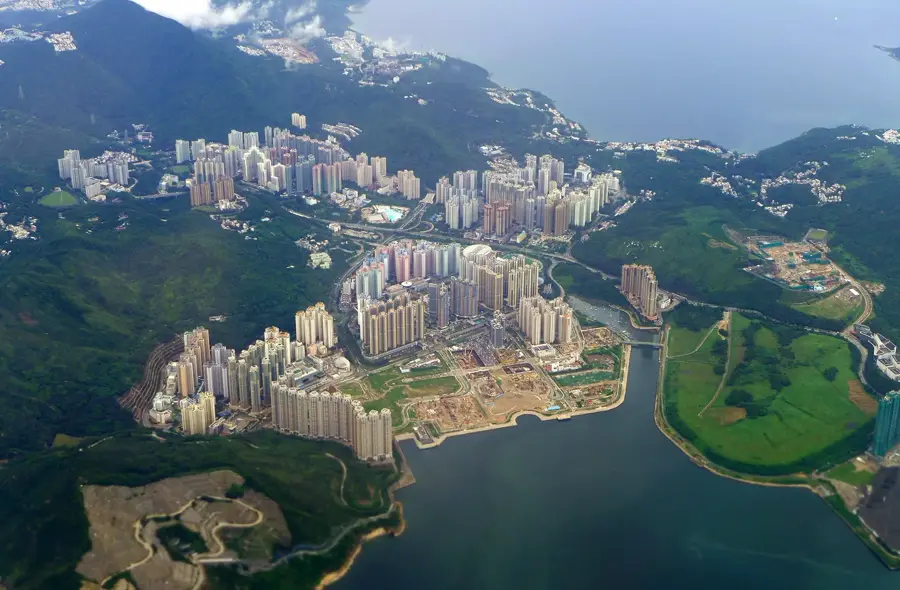
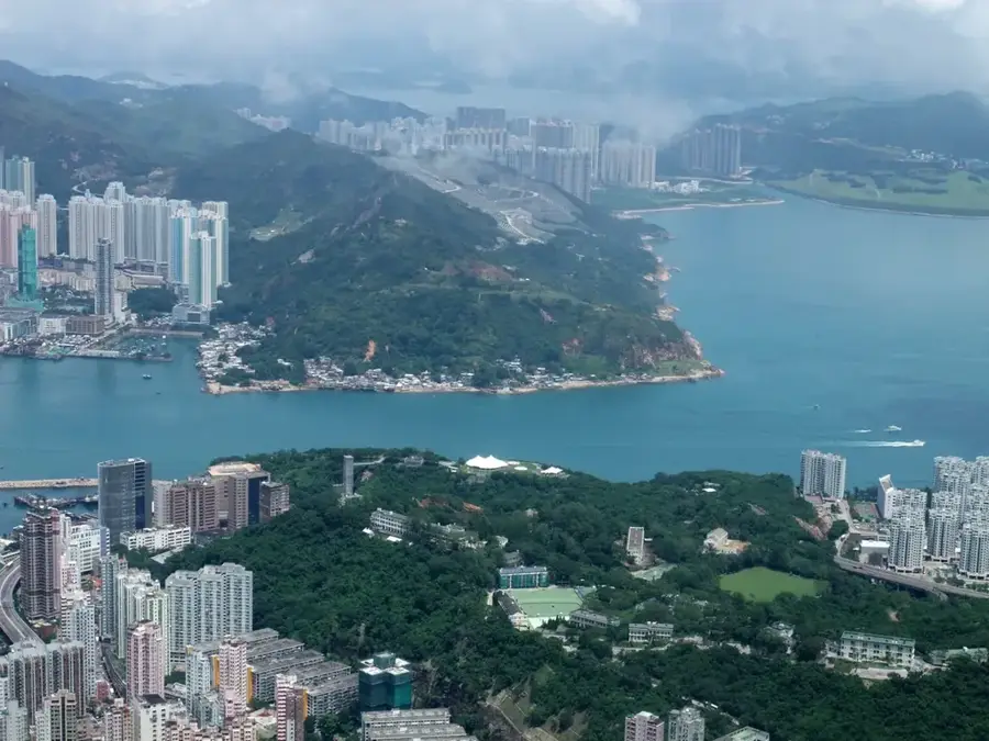
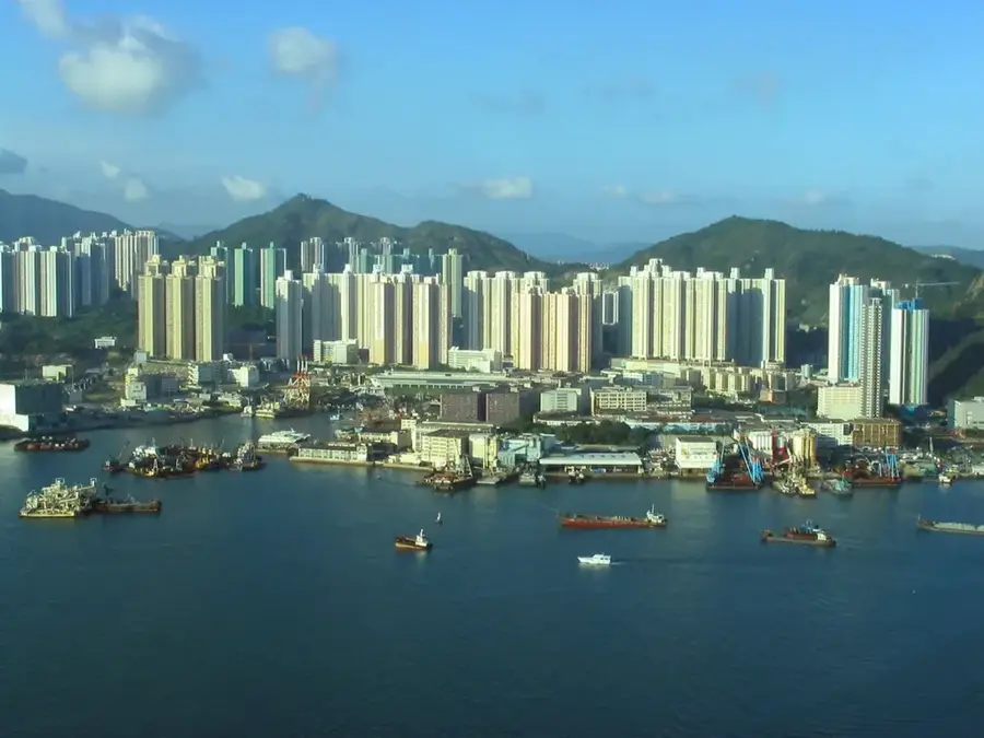
The Tung Lung Chau Special Area, located on the island of the same name at the eastern entrance to Victoria Harbour, is a sanctuary for nature enthusiasts and history buffs alike. The island is renowned for its dramatic coastal scenery and sheer sea cliffs, making it arguably the finest destination for rock climbing in Hong Kong. Historically, the site is home to the Tung Lung Fort, which was constructed during the Qing Dynasty between 1662 and 1722 to defend the coast against pirate raids. Today, the partially restored ruins of the fort offer a glimpse into the region's maritime military past. Another significant attraction is an ancient rock carving, the largest of its kind in the territory, believed to date back to the Bronze Age. Accessible via ferry, the island features scenic hiking trails that lead to unique geological formations and a popular designated campsite for overnight stays. Far from the city noise, Tung Lung Chau features an untouched landscape with sweeping views over the South China Sea.
- Location: Hong Kong SAR China
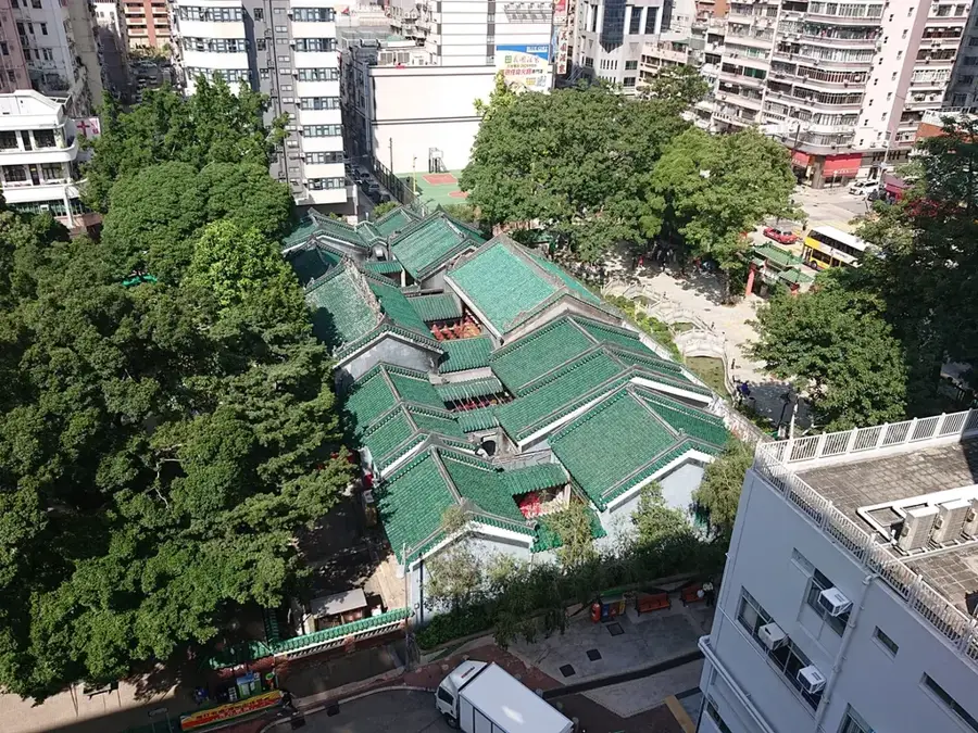
- Top sights: Rock Carving on Tung Lung Chau · Nga Ying Pai · Luk Keng Bay
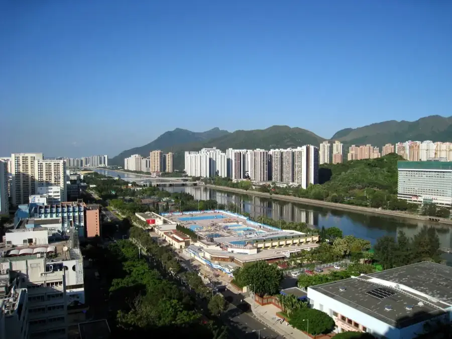
- Nearby: Shek O (4 km)
Best time to visit & climate
The most pleasant time to visit is Feb, Mar, Nov.
| Jan | Feb | Mar | Apr | May | Jun | Jul | Aug | Sep | Oct | Nov | Dec | |
|---|---|---|---|---|---|---|---|---|---|---|---|---|
| Avg °C | 16 | 18 | 20 | 23 | 26 | 28 | 29 | 28 | 28 | 25 | 22 | 17 |
| Rain mm | 36 | 29 | 72 | 104 | 210 | 282 | 185 | 218 | 161 | 49 | 30 | 25 |
📋 Practical info
Geography
Facts
- Area: 10 hectares (24.7 acres)
- Designated: 1979
- Rock carvings: Bronze Age (approx. 1000 BC)
- Fort built: 1725, restored 1988
- Highest point: 100 m (328 ft)
- Climbing routes: over 50
Explore nearby
Notable places around
Route planner — Car & Motorhome
Where do you start? We build the route here, with stops and country notes along the way.
© OpenStreetMap contributors · OpenRouteService
Sights in the town Tung Lung Chau Special Area (5)
Sights nearby
Frequently asked questions
When do ferries run to Tung Lung Chau?
Is camping allowed on the island?
What are the main activities?
Are there restaurants there?
Are there ancient rock carvings?
Tung Lung Chau Special Area: where is it located?
Tung Lung Chau Special Area: what is there to see?
Tung Lung Chau Special Area: when is the best time to visit?
Tung Lung Chau Special Area: why is it worth visiting?

Nearby cities