Plizio Visual Lab
High Junk Peak
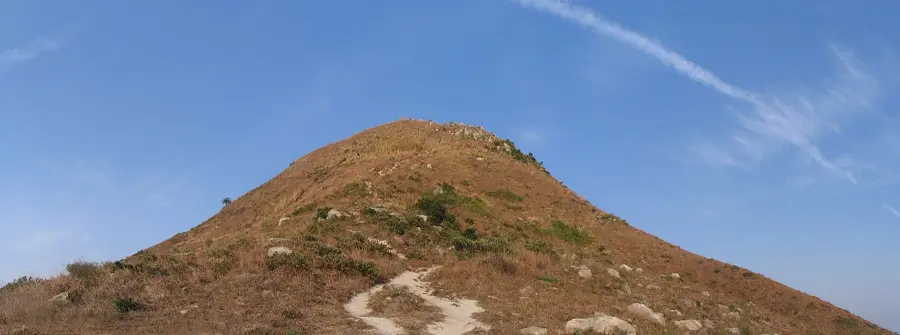
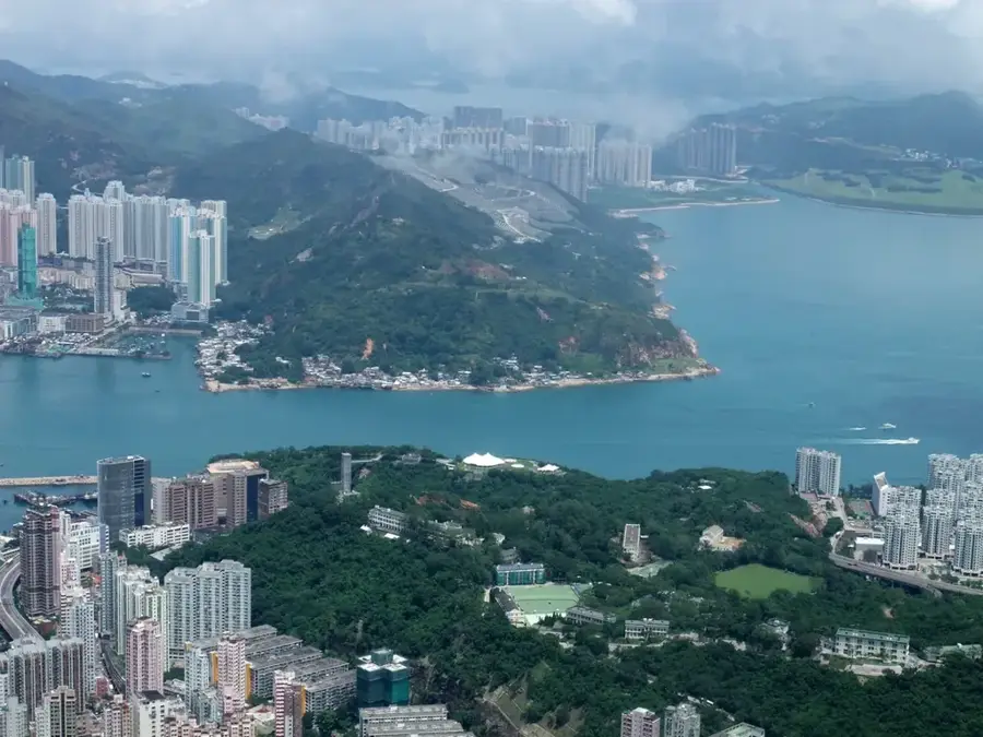
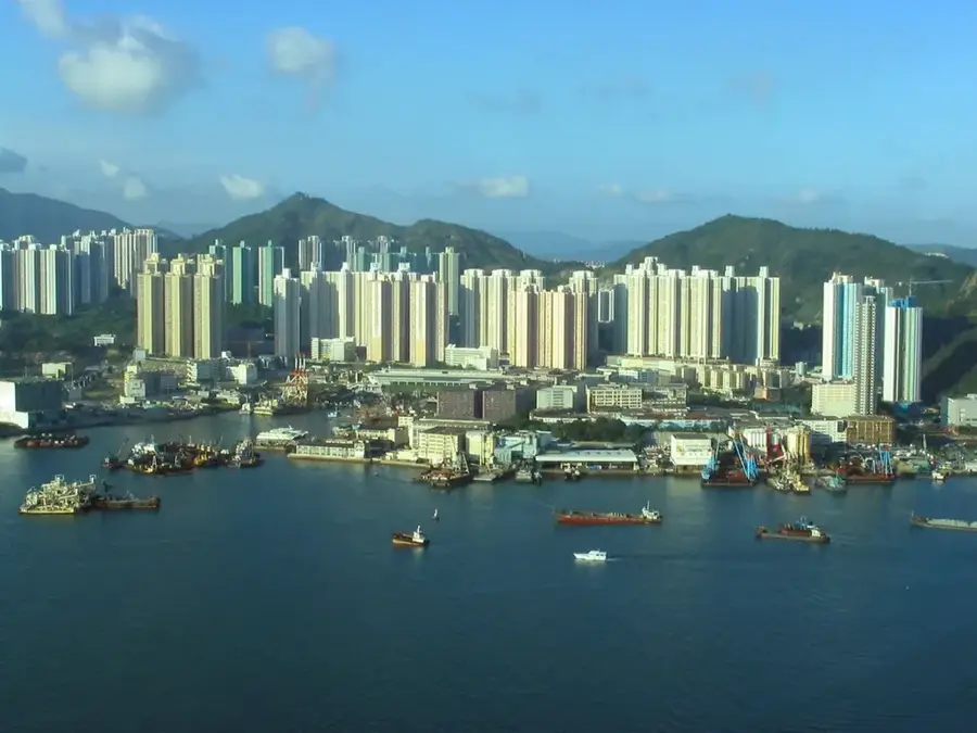
High Junk Peak, known locally as Tiu Yue Yung, is widely considered one of the most scenic summits in Hong Kong and is celebrated as one of the "Three Sharp Peaks" of the territory. Rising to an elevation of 344 meters on the Clear Water Bay Peninsula, its distinctive, pointed silhouette resembles a traditional Chinese fisherman’s hat, a feature that defined its Cantonese name. The hike to the summit is renowned for its steep gradients and rocky sections, providing a challenging but rewarding experience for outdoor enthusiasts. From the top, hikers are treated to dramatic views of the rugged coastline, the Ninepin Group of islands, and the vast South China Sea. The surrounding landscape is characterized by low-lying scrubland and windswept ridges, offering a stark natural contrast to the dense urban developments of Kowloon nearby. Its strategic location makes it a prime spot for photography, especially during the clear days of autumn when the maritime horizon is most visible.
- Location: Hong Kong SAR China
- Top sights: Tin Ha Shan · Lighthouse 200 · Rock Inscription at Joss House Bay
- Nearby: Sai Kung (5 km)
Best time to visit & climate
The most pleasant time to visit is Feb, Mar, Nov.
| Jan | Feb | Mar | Apr | May | Jun | Jul | Aug | Sep | Oct | Nov | Dec | |
|---|---|---|---|---|---|---|---|---|---|---|---|---|
| Avg °C | 16 | 18 | 20 | 23 | 26 | 28 | 29 | 28 | 28 | 25 | 22 | 17 |
| Rain mm | 36 | 29 | 72 | 104 | 210 | 282 | 185 | 218 | 161 | 49 | 30 | 25 |
📋 Practical info
Geography
Facts
- High Junk Peak stands 344 meters tall.
- The mountain is located in Clear Water Bay Country Park.
- The summit offers views of 9 islands in Port Shelter.
- The rocks date from the Jurassic period, about 140 million years old.
- The High Junk Peak Trail is approximately 6.5 kilometers long.
- The peak is part of Sai Kung District.
Explore nearby
Notable places around
Route planner — Car & Motorhome
Where do you start? We build the route here, with stops and country notes along the way.
© OpenStreetMap contributors · OpenRouteService
Sights in the town High Junk Peak (7)
Sights nearby
Frequently asked questions
How steep is High Junk Peak?
How long does the hike take?
Is there an easier route around the summit?
What is the highlight of the view?
How do you get to the trailhead?
High Junk Peak: where is it located?
High Junk Peak: what is there to see?
High Junk Peak: when is the best time to visit?
High Junk Peak: why is it worth visiting?

Nearby cities