Plizio Visual Lab
Lo Fu Tau
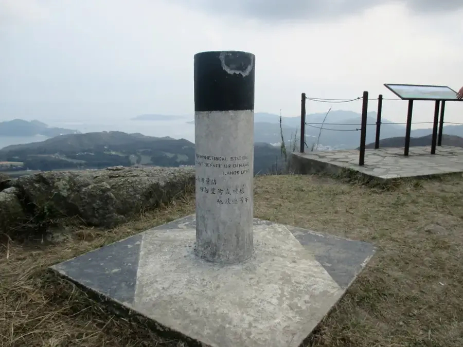
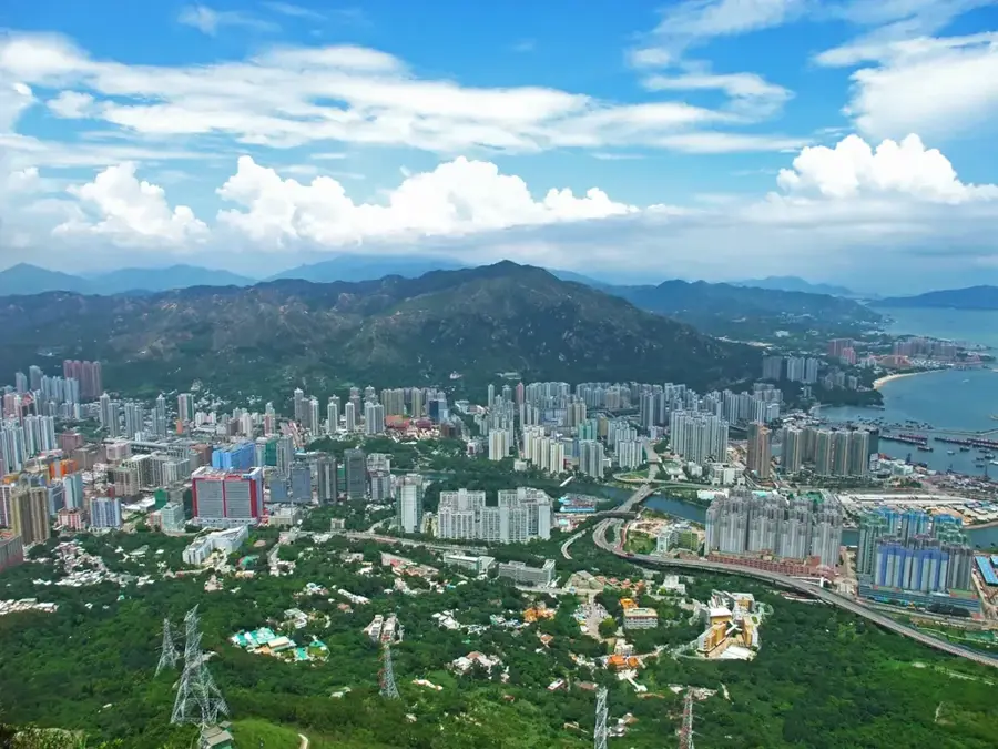
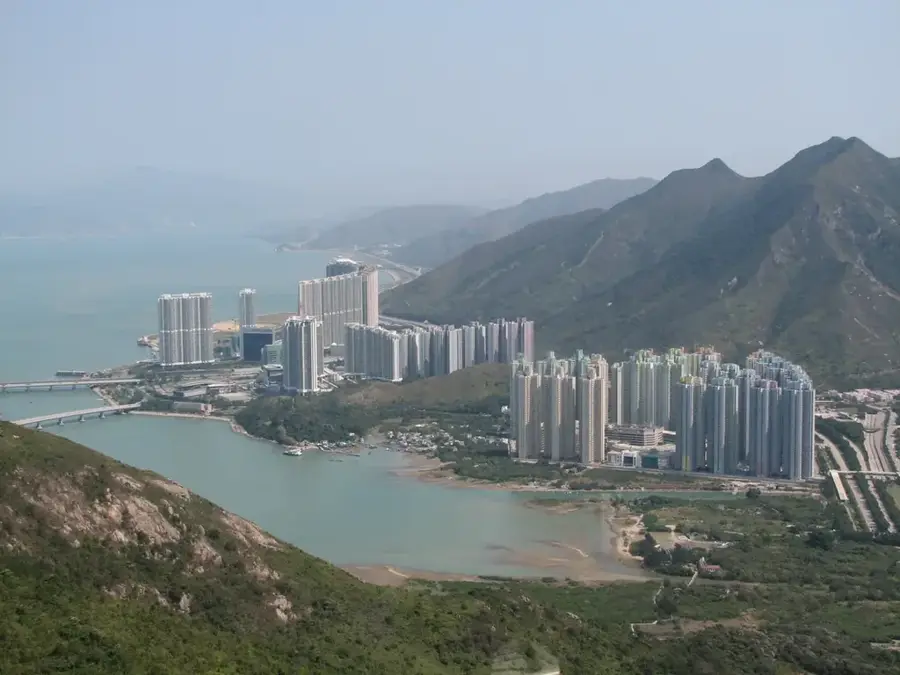
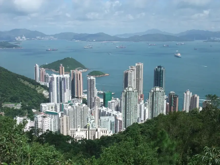
Lo Fu Tau, translating to 'Tiger's Head,' is a prominent 465-meter peak situated on the northeastern side of Lantau Island in Hong Kong. It earns its name from the distinctive granite rock formations at its summit, which, when viewed from certain angles, resemble the head of a crouching tiger. The mountain is a favorite among hikers for its scenic ridge trail that connects Discovery Bay to Mui Wo, offering remarkable 360-degree views of the South China Sea, the airport, and the distant skyline of Hong Kong Island. The landscape is rugged and largely treeless, characterized by windswept grassy slopes and dramatic boulders that give it a wild, prehistoric feel. The ascent is steady and provides ample opportunities to appreciate the unique geology of Lantau. On a clear day, the panoramic vista from the 'Tiger's Head' is one of the most rewarding in the territory, showcasing the striking balance between Hong Kong's untamed natural ridges and its sophisticated urban infrastructure.
- Location: Hong Kong SAR China
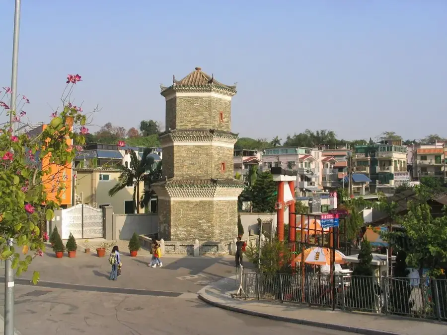
- Top sights: Watchtower · Standing Rock · Tai Ho Stream SSSI
- Nearby: So Kwun Wat (4 km)
Best time to visit & climate
The most pleasant time to visit is Mar, Nov, Dec.
| Jan | Feb | Mar | Apr | May | Jun | Jul | Aug | Sep | Oct | Nov | Dec | |
|---|---|---|---|---|---|---|---|---|---|---|---|---|
| Avg °C | 16 | 18 | 20 | 23 | 26 | 28 | 29 | 29 | 28 | 25 | 22 | 17 |
| Rain mm | 35 | 29 | 69 | 109 | 231 | 288 | 197 | 234 | 173 | 56 | 29 | 21 |
📋 Practical info
Geography
Facts
- Maximum elevation of 465 meters
- Located in the eastern part of Lantau Island
- The name translates to Tiger's Head
- Offers views of Chek Lap Kok Airport
- Part of the Lantau North Country Park
- Hiking trail connects Discovery Bay to Mui Wo
Explore nearby
Notable places around
Route planner — Car & Motorhome
Where do you start? We build the route here, with stops and country notes along the way.
© OpenStreetMap contributors · OpenRouteService
Sights in the town Lo Fu Tau (10)
Sights nearby
Frequently asked questions
What does the name Lo Fu Tau mean?
Where does the hike start?
What is the Stone Sword?
Is the trail shaded?
How is the view of the airport?
Lo Fu Tau: where is it located?
Lo Fu Tau: what is there to see?
Lo Fu Tau: when is the best time to visit?
Lo Fu Tau: why is it worth visiting?

Nearby cities