Plizio Visual Lab
Mount Parnon
Weather…
Water temperature…
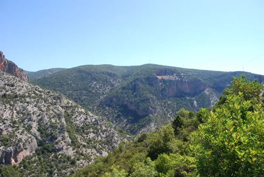
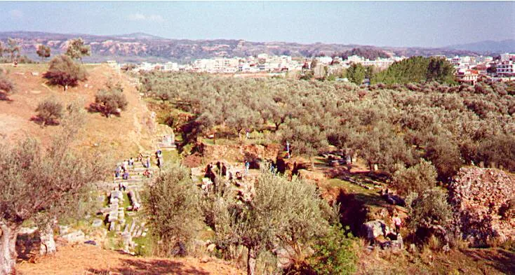
Mount Parnon is an extensive mountain range in the eastern Peloponnese, stretching across the regional units of Arcadia and Laconia. Its highest peak, Megali Tourla, rises to an elevation of 1,935 meters, dominating the landscape between the Argolic Plain and the Laconian Gulf. Geologically, the massif is primarily composed of limestone and schist, which has resulted in the formation of numerous deep gorges and high plateaus. The region is celebrated for its exceptional biodiversity, featuring significant stands of Greek fir (Abies cephalonica) and black pine, making it a vital ecological corridor. Historically, Parnon served as a natural boundary between the ancient city-states of Sparta and Argos. Today, the mountain is home to important religious sites such as the Elona Monastery, built into a vertical cliffside, and traditional villages like Kastanitsa and Kosmas, known for their unique stone architecture and chestnut forests.
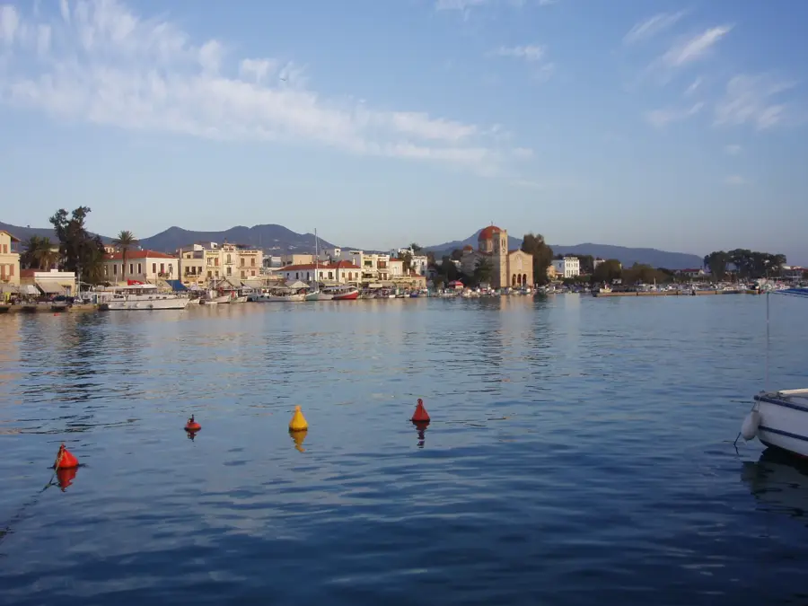
- Location: Greece
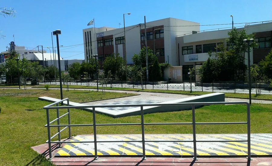
- Top sights: Castle of Kastanitsa · Sparta Astronomical Union Sundial
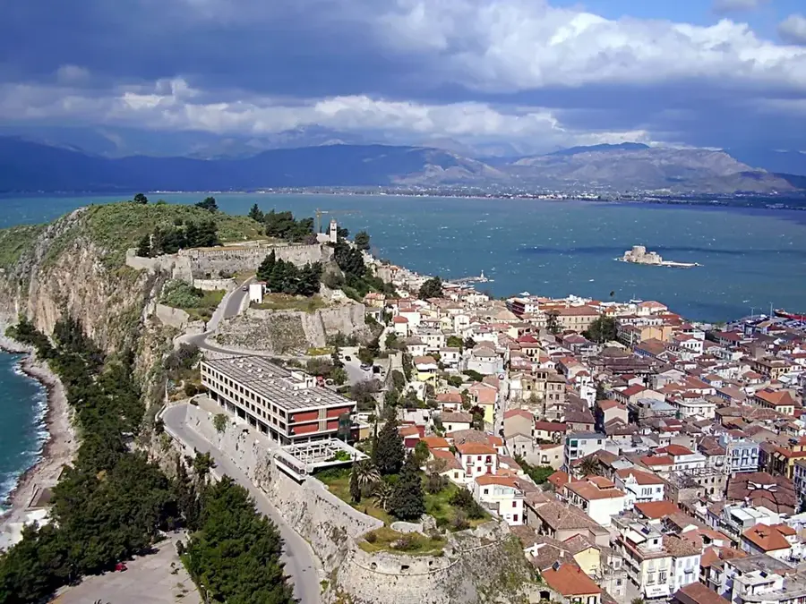
- Nearby: Arkadiko Chorio (18 km)
Best time to visit & climate
The most pleasant time to visit is Jun, Aug, Sep.
| Jan | Feb | Mar | Apr | May | Jun | Jul | Aug | Sep | Oct | Nov | Dec | |
|---|---|---|---|---|---|---|---|---|---|---|---|---|
| Avg °C | 5 | 6 | 9 | 12 | 17 | 22 | 25 | 25 | 21 | 16 | 11 | 7 |
| Rain mm | 95 | 78 | 61 | 33 | 28 | 29 | 18 | 12 | 39 | 61 | 88 | 99 |
📋 Practical info
Geography
Facts
- The highest peak, Megali Tourla, reaches an altitude of 1,935 meters.
- The mountain range extends for approximately 100 kilometers in length.
- It contains the only natural forest of Syrian juniper in Europe.
- The Elona Monastery was established in the 14th century on a cliff face.
- Parnon is a protected area under the Natura 2000 ecological network.
- The village of Kastanitsa is one of the oldest settlements in the region.
Explore nearby
Notable places around
Route planner — Car & Motorhome
Where do you start? We build the route here, with stops and country notes along the way.
© OpenStreetMap contributors · OpenRouteService
Sights in the town Mount Parnon (2)
Sights nearby
Frequently asked questions
In which region is the Parnon mountain range located?
What famous monastery is located in Parnon?
What is special about the nature there?
How high is the highest peak?
Which mountain villages are worth visiting?
Mount Parnon: where is it located?
Mount Parnon: what is there to see?
Mount Parnon: when is the best time to visit?
Mount Parnon: why is it worth visiting?

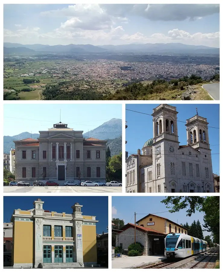
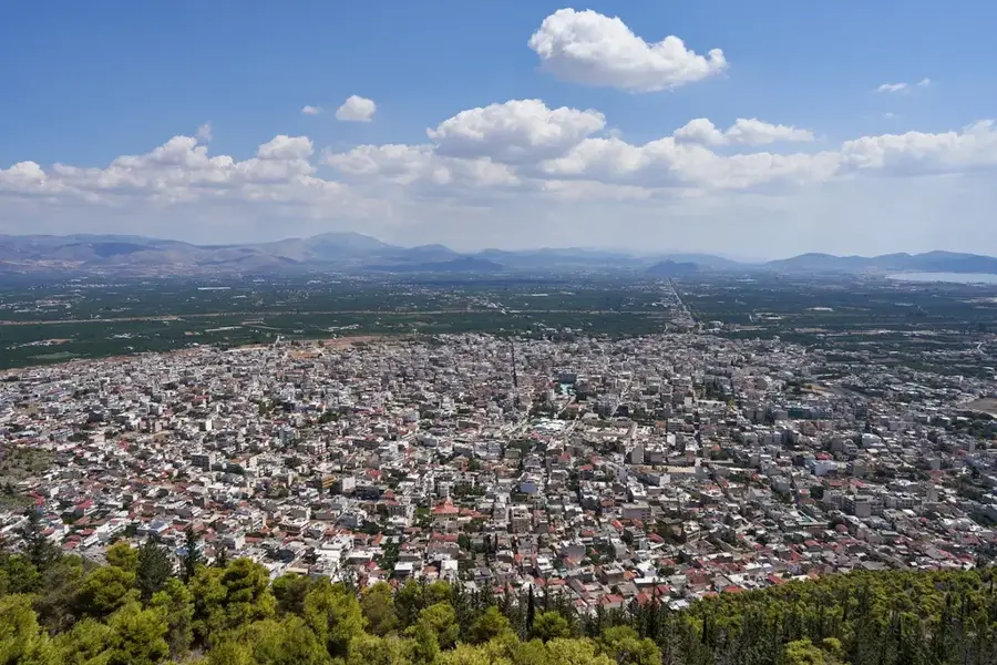
Nearby cities


History & landmarks