Plizio Visual Lab
Mount Cithaeron
Weather…
Water temperature…
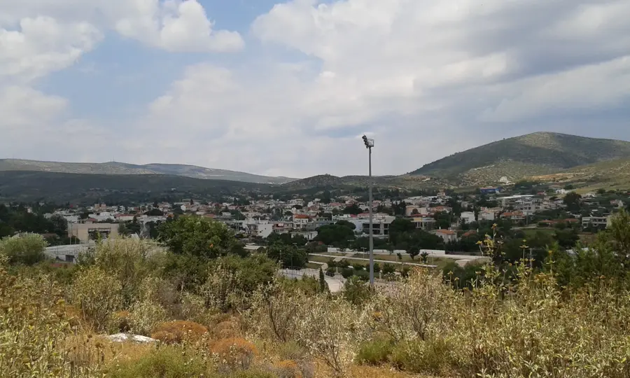
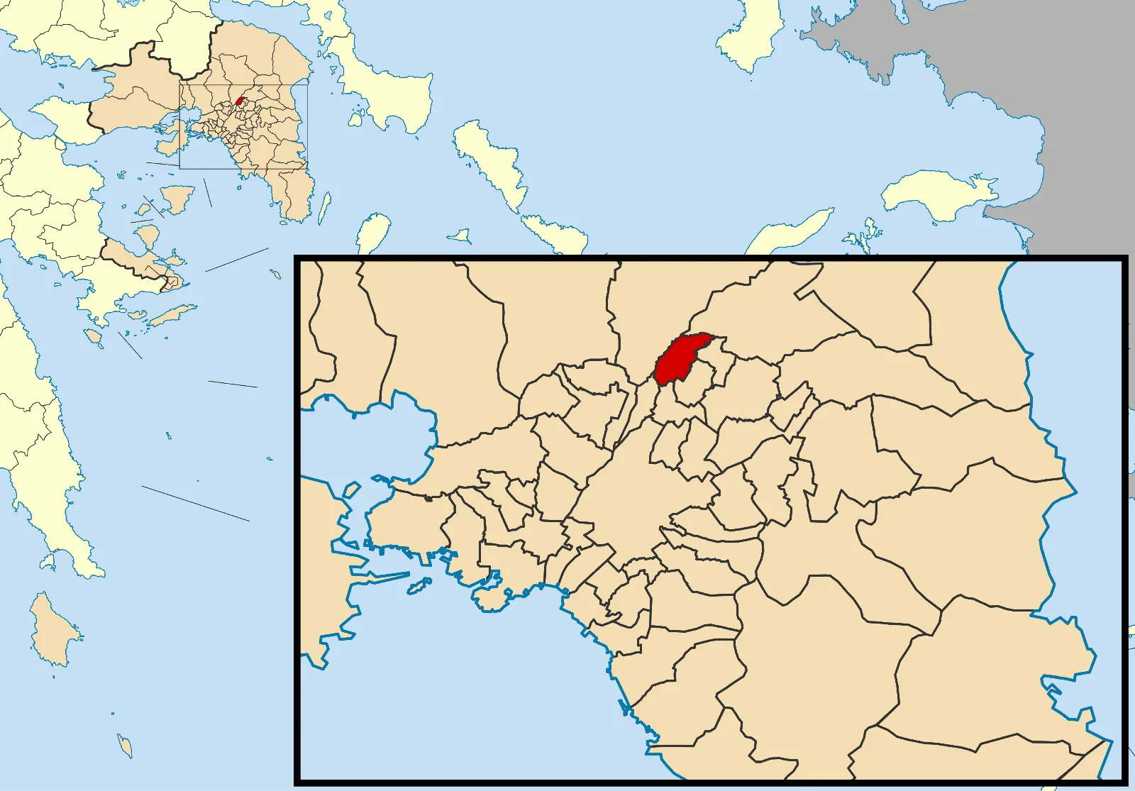
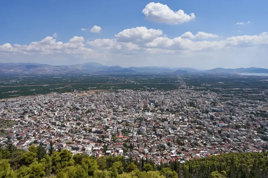
Mount Cithaeron is a historic mountain range in Central Greece, serving as a natural boundary between the regions of Attica to the south and Boeotia to the north. Its highest peak, Profitis Ilias, rises to 1,409 meters, and the range spans approximately 16 kilometers in length. In Greek mythology, Cithaeron is a legendary site, known as the place where the infant Oedipus was exposed and where the cult of Dionysus performed its sacred rites. Historically, the mountain held immense strategic value, commanding the vital passes between Athens and Thebes; the decisive Battle of Plataea in 479 BC was fought near its northern foothills. The mountain's ecosystem is dominated by dense forests of fir and pine, which support a variety of local wildlife. Currently, it is a favored destination for hikers and paragliders, attracted by its proximity to Athens and the spectacular views it provides over the Gulf of Corinth and the Boeotian plains.
- Location: Greece
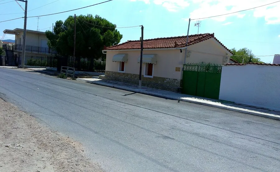
- Nearby: Vilia (8 km)
Best time to visit & climate
The most pleasant time to visit is May, Sep, Oct.
| Jan | Feb | Mar | Apr | May | Jun | Jul | Aug | Sep | Oct | Nov | Dec | |
|---|---|---|---|---|---|---|---|---|---|---|---|---|
| Avg °C | 9 | 10 | 12 | 15 | 20 | 25 | 28 | 27 | 24 | 19 | 15 | 11 |
| Rain mm | 66 | 58 | 53 | 30 | 21 | 20 | 12 | 8 | 29 | 49 | 69 | 86 |
📋 Practical info
Geography
Facts
- The highest peak reaches 1,409 meters.
- Acts as a border between Attica and Boeotia.
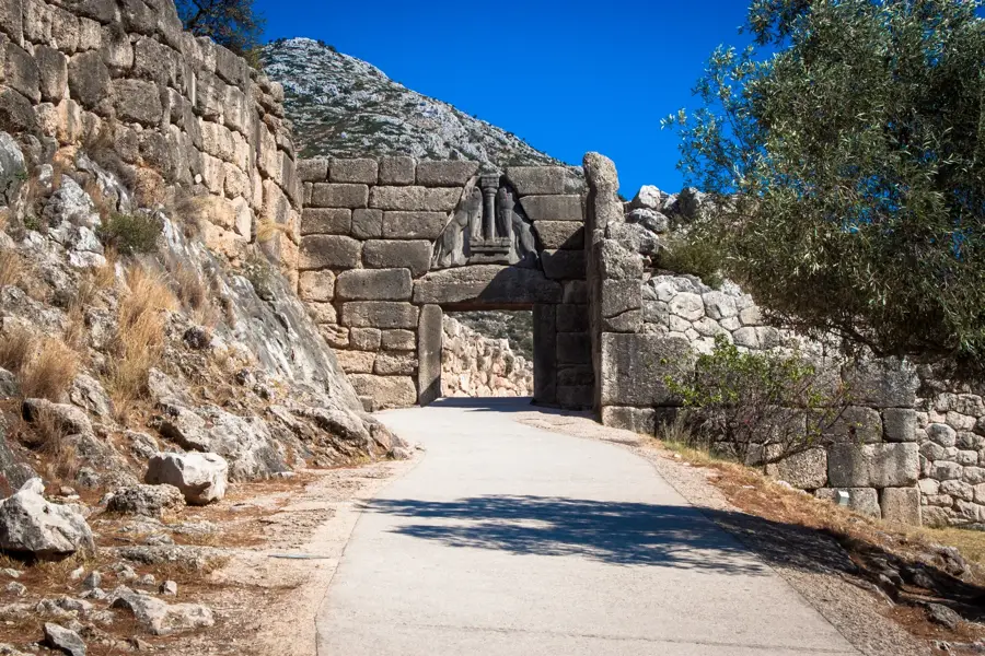
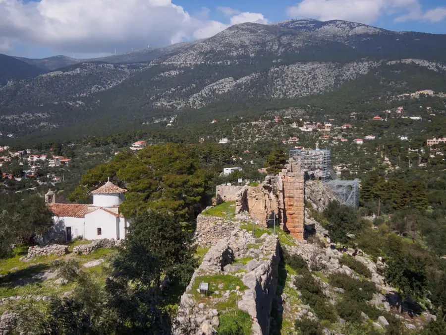
- Site of the Battle of Plataea in 479 BC.
- Legendary setting for the myth of Oedipus.
- Home to dense fir and pine forest ecosystems.
- Popular spot for hiking and paragliding.
Explore nearby
Notable places around
Route planner — Car & Motorhome
Where do you start? We build the route here, with stops and country notes along the way.
© OpenStreetMap contributors · OpenRouteService
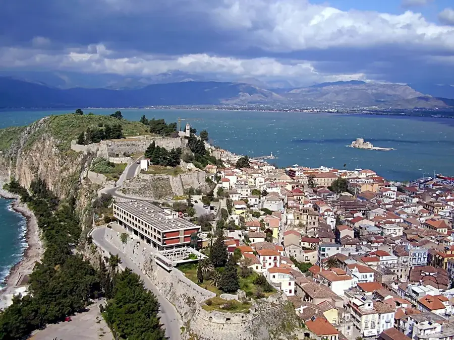
Sights in the town Mount Cithaeron (1)
Sights nearby
Frequently asked questions
Where is Cithaeron located?
What is the mythological significance?
How high is Cithaeron?
Are there historical ruins there?
Can you drive up?
Mount Cithaeron: where is it located?
Mount Cithaeron: when is the best time to visit?
Mount Cithaeron: why is it worth visiting?

Nearby cities


History & landmarks