Plizio Visual Lab
Acheloos River
Weather…
Water temperature…
The Acheloos River is one of the most prominent watercourses in Greece, stretching approximately 220 kilometers from its source in the Pindus Mountains to the Ionian Sea. Originating at the Lakmos peak at an altitude exceeding 2,000 meters, it flows southward, acting as a natural boundary between Aetolia and Acarnania. In ancient times, Acheloos was revered as a powerful river god, often depicted in mythology as a shapeshifter who battled Heracles. The river's natural flow was significantly altered during the 20th century by a series of major hydroelectric dams, including Kremasta, Kastraki, and Stratos. The Kremasta Dam created the largest artificial lake in Greece, playing a crucial role in the nation's energy grid and agricultural irrigation systems. Despite these engineering projects, the river delta remains an ecologically significant area, characterized by extensive wetlands and lagoons that are part of the Natura 2000 network. The constant deposition of silt by the river has historically expanded the land area at its mouth, creating fertile deltas and changing the local coastline.
- Location: Greece
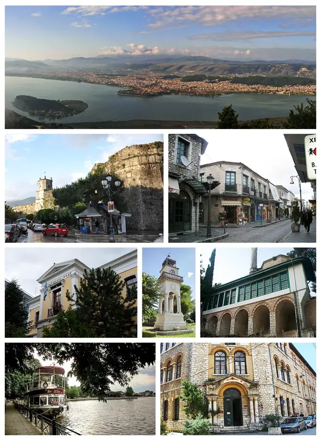
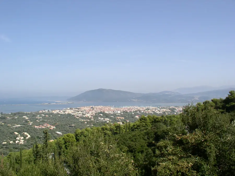
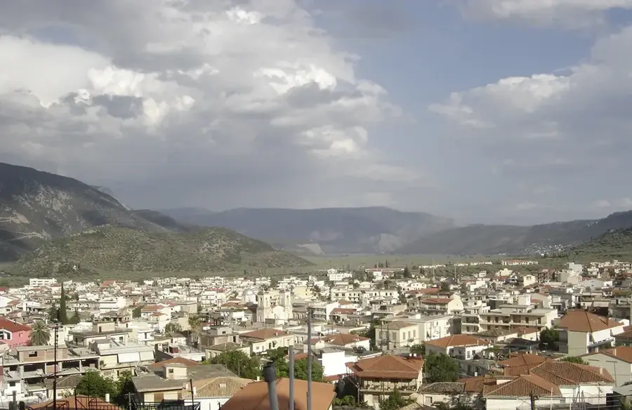
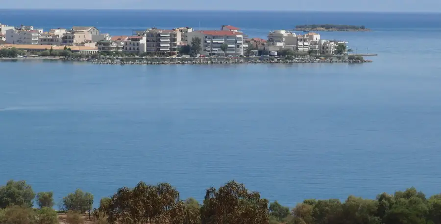
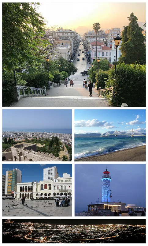
- Nearby: Etoliko (22 km)
Best time to visit & climate
The most pleasant time to visit is May, Jun, Sep.
| Jan | Feb | Mar | Apr | May | Jun | Jul | Aug | Sep | Oct | Nov | Dec | |
|---|---|---|---|---|---|---|---|---|---|---|---|---|
| Avg °C | 9 | 10 | 12 | 15 | 20 | 24 | 27 | 28 | 24 | 19 | 15 | 11 |
| Rain mm | 104 | 81 | 67 | 40 | 29 | 20 | 17 | 16 | 61 | 86 | 107 | 126 |
📋 Practical info
Geography
Facts
- The total length of the Acheloos River is approximately 220 kilometers.
- The Kremasta reservoir is the largest man-made lake in Greece by surface area.
- In antiquity, the river was often referred to by the name 'Thoas'.
- The river's mouth is located directly opposite the Echinades island group.
- It flows through several regional units, including Trikala, Arta, and Aetolia-Acarnania.
- The source is located on Mount Lakmos at an elevation of roughly 2,295 meters.
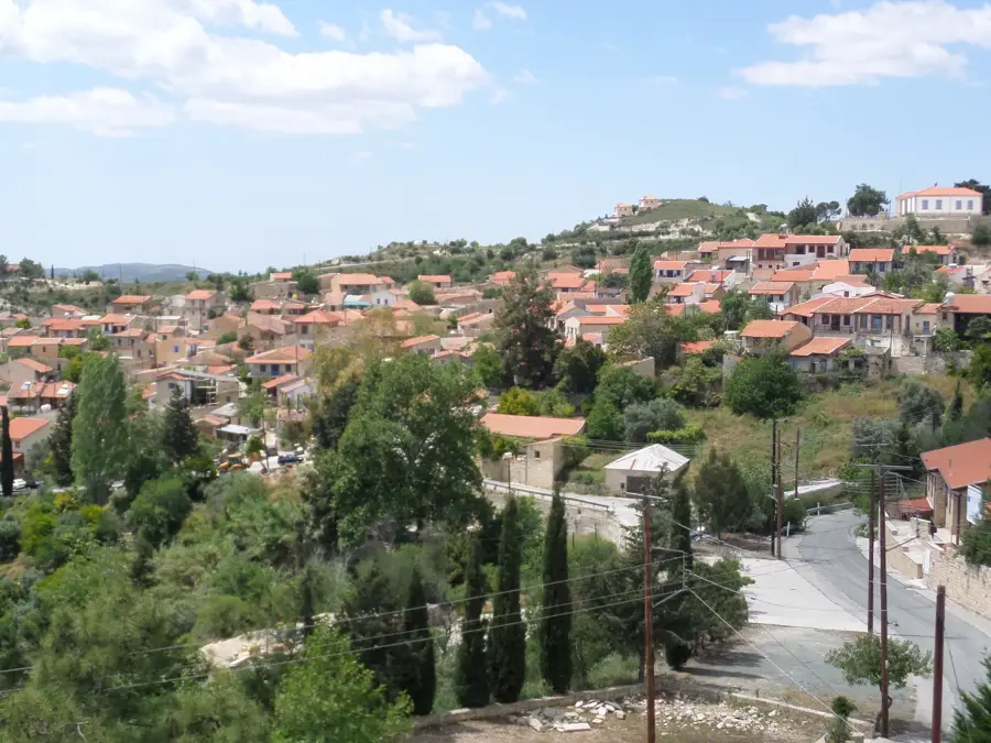
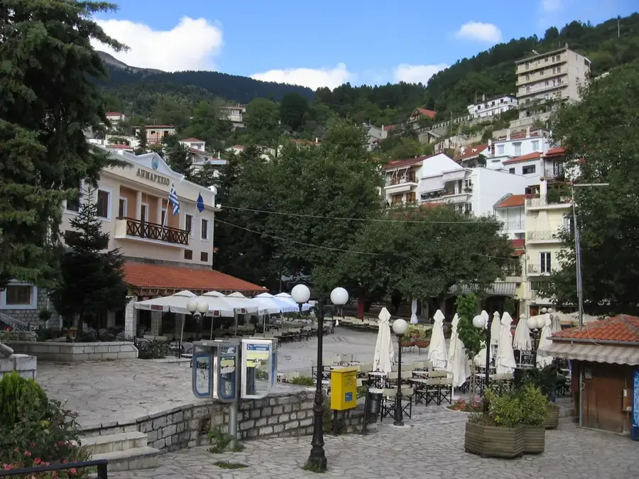
Explore nearby
Notable places around
Route planner — Car & Motorhome
Where do you start? We build the route here, with stops and country notes along the way.
© OpenStreetMap contributors · OpenRouteService
Sights in the town Acheloos River (1)
Sights nearby
Frequently asked questions
Which river is the Achelous?
What mythological significance does the river have?
Are there reservoirs along the river?
Where does the Achelous empty?
Is rafting possible on the river?
Acheloos River: where is it located?
Acheloos River: when is the best time to visit?
Acheloos River: why is it worth visiting?

Nearby cities