Plizio Visual Lab
Igoumenitsa
ℹ️Practical info — Igoumenitsa
▾
🌤 Weather — 5 days
📍 Nearby
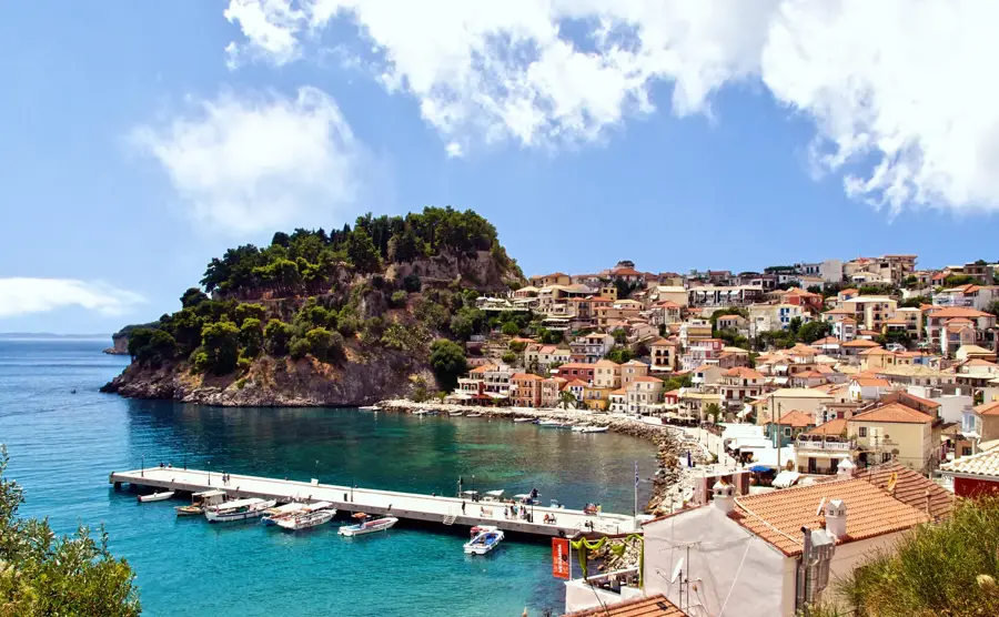
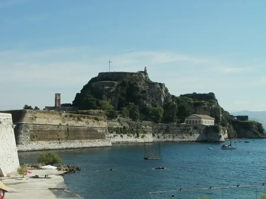
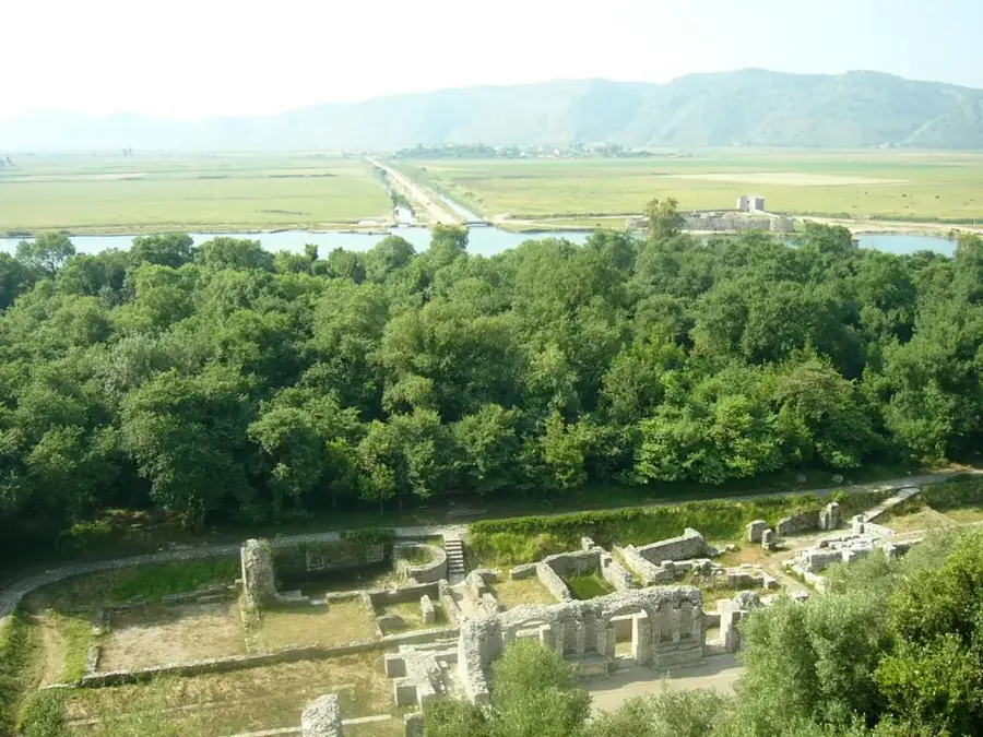
Sights nearby
💡 Tips
- Use the city as a base to explore the nearby pristine beaches of Syvota and Parga, which are just a short drive away.
- If taking a ferry to Italy or Corfu, arrive at the port well in advance as traffic can be heavy.
- The town itself is modern and functional; spend your evenings walking along the bustling coastal promenade.
- Parking near the port can be challenging; look for municipal lots further inland.
- Combine your visit with a trip to the nearby archaeological site of Gitana for a quiet historical detour.
🍽 Food
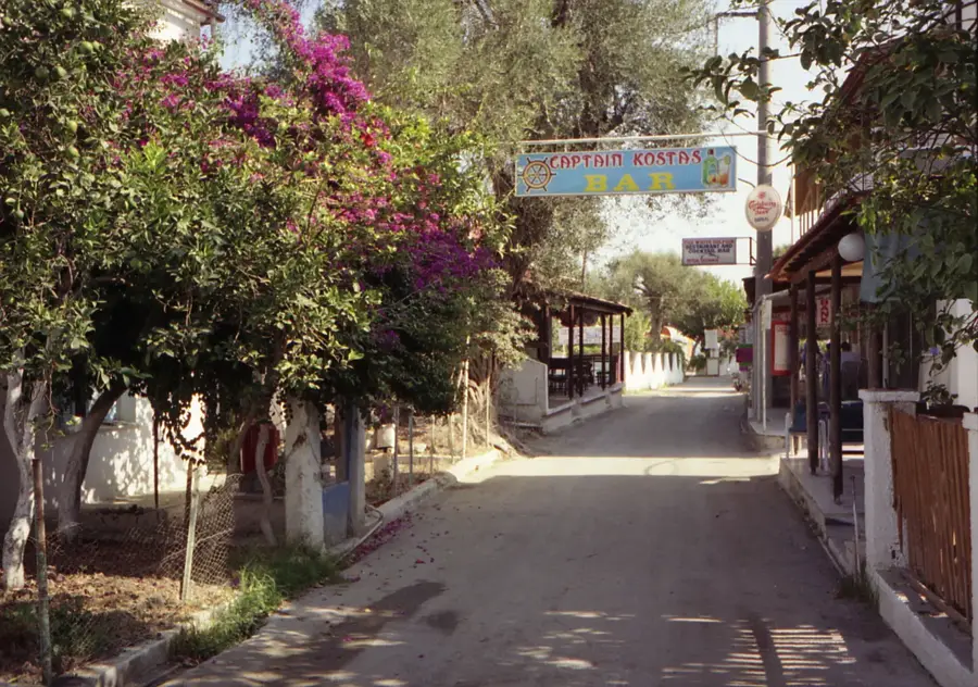
Look for traditional fish tavernas along the coastal road heading towards Syvota.
Try the famous savory pies of the Epirus region in local bakeries in the town center.
Inland villages just outside the city offer excellent quality local meats in family-run tavernas.
🛍 Shopping · 🧘 Quiet spots
Look for cheeses from the Epirus region, like feta and graviera, in central supermarkets and delis.
The broader region is known for its leathercraft; check out local shops along the main pedestrian streets.
A long sandy peninsula where you can always find a quiet spot even in the height of summer.
Located near the city, excellent for a relaxing shaded walk away from the port's bustle.
Water temperature…
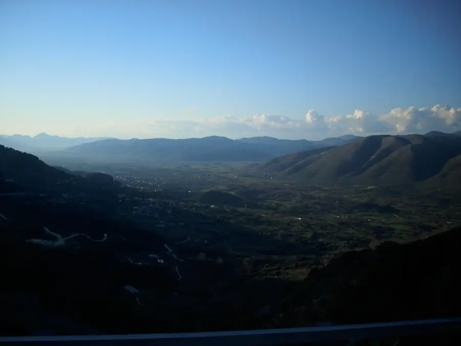
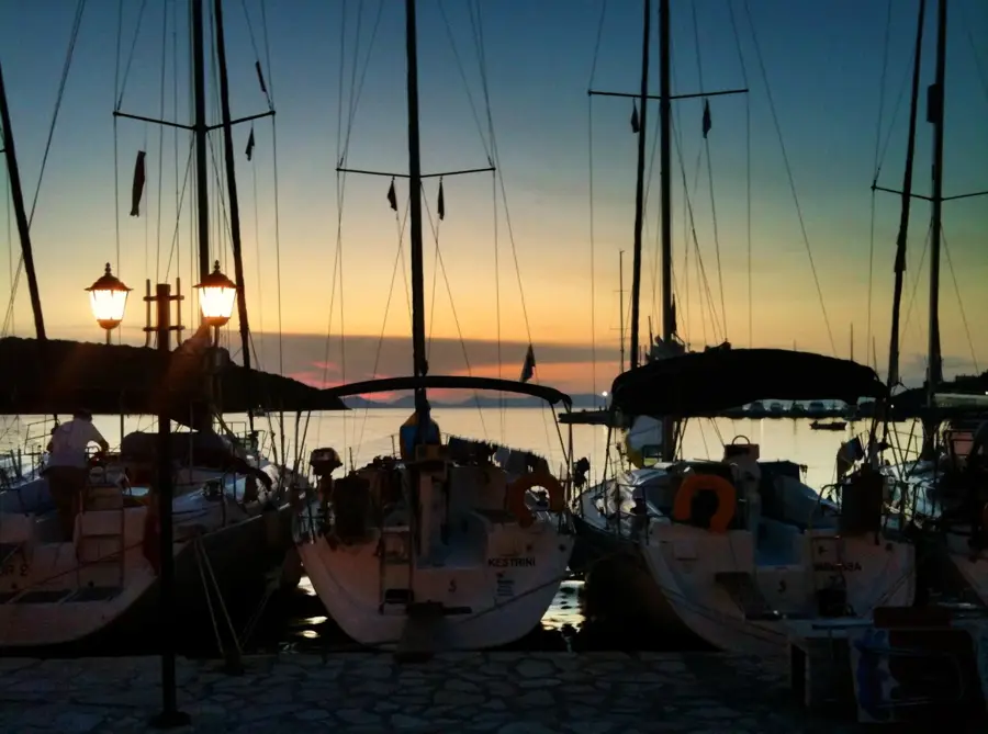
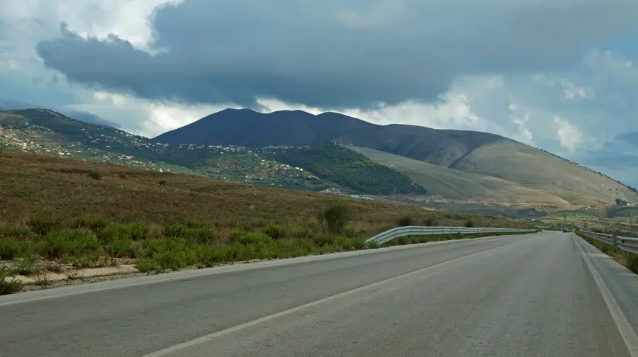
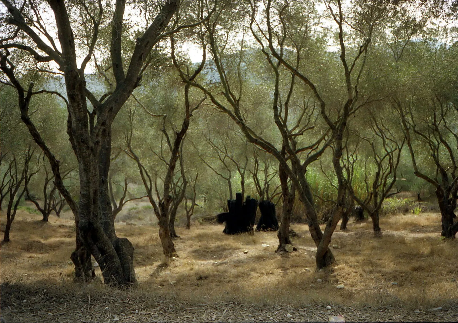
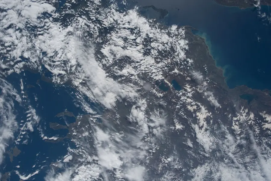
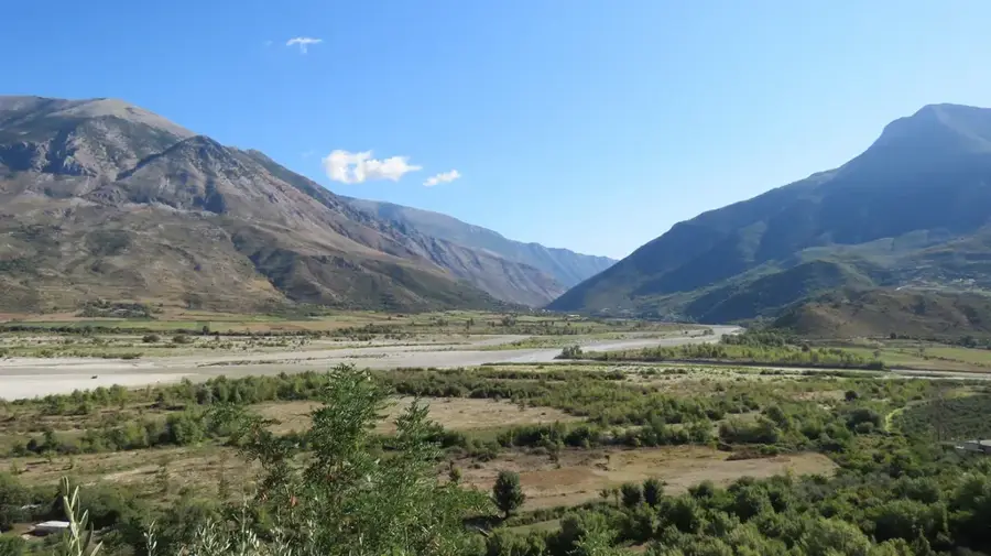
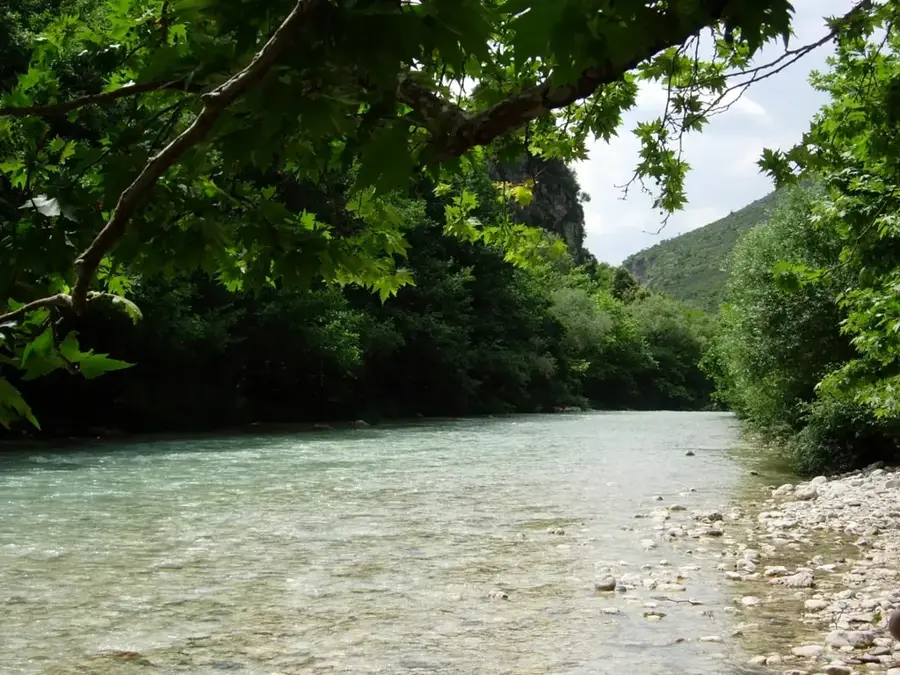
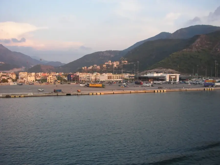
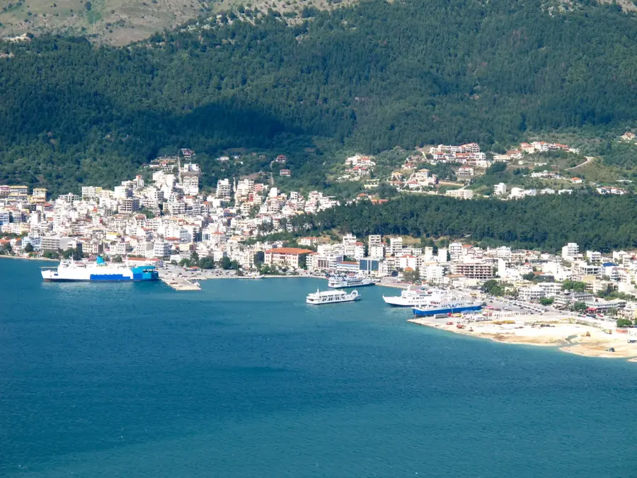
Igoumenitsa is the urban center of the Epirus region in northwestern Greece and one of the country's most vital maritime gateways. Situated on the Ionian Sea, its modern port dispatches daily ferries to Italy (Brindisi, Bari, Ancona, Venice) and the Ionian Islands. The town's development accelerated with the construction of the Egnatia Odos highway, which follows the ancient Roman route to connect the city with the Turkish border. Framed by a mountainous backdrop of pine forests and coastal wetlands, the area balances heavy transit traffic with a diverse natural environment. Heading south from the city toward Sivota, the coastline hides dozens of organized and natural beaches. Closest to the center, on the Drepano peninsula, lie Gallikos Molos and the palm-lined Dei beach. Further south, the clear blue waters of the Ionian Sea meet the pebble-sand shores of Mikri Ammos and Mega Ammos. The rock-sheltered coves of Mega Drafi and Mikro Drafi feature deeper waters that are highly favored by snorkelers and divers. The more secluded sections of the coast include Mourtemeno, where many visitors arrive on small boats from nearby islets. Agali, Kamini, and Diapori are narrow, densely vegetated bays popular among campers and sailors. The coastal stretches of Zavia and Agia Paraskevi are surrounded by olive groves, and their waters are kept cool during the summer heat by freshwater springs flowing directly into the sea. The region's coastline has been undergoing continuous tourism development since the 1990s.
- Location: Greece
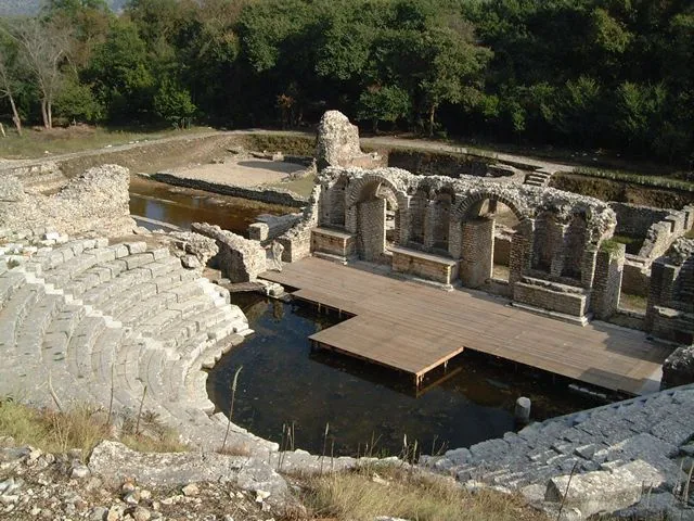
- Top sights: Romaike Epaule - Ktistos Taphikos Thalamos · Tekhnokhoros · Theatrike skene <<Arlekinos>>
- Nearby: Thesprotia (6 km)
- Population: ~9.496
Best time to visit & climate
The most pleasant time to visit is May, Jun, Sep.
| Jan | Feb | Mar | Apr | May | Jun | Jul | Aug | Sep | Oct | Nov | Dec | |
|---|---|---|---|---|---|---|---|---|---|---|---|---|
| Avg °C | 6 | 7 | 9 | 13 | 18 | 23 | 26 | 27 | 21 | 16 | 12 | 7 |
| Rain mm | 121 | 102 | 86 | 53 | 46 | 28 | 16 | 25 | 84 | 111 | 139 | 153 |
Geography
Facts
- Greece's western maritime gateway
- Daily ferry connections to Italy
- Western terminus of the Egnatia Odos highway
- Part of the Thesprotia region in Epirus
- Sandbars of the Drepano peninsula
- Nearby beaches of Gallikos Molos and Dei
- Pebbled cove of Mega Ammos
- Freshwater springs at Agia Paraskevi
Explore nearby
Notable places around
Route planner — Car & Motorhome
Where do you start? We build the route here, with stops and country notes along the way.
© OpenStreetMap contributors · OpenRouteService
Sights in the town Igoumenitsa (6)
Frequently asked questions
What role does Igoumenitsa play for travelers?
Are there beaches near Igoumenitsa?
What cultural sites can be visited?
How far is it to the Albanian border?
Is the city suitable for a longer stay?
Igoumenitsa: where is it located?
Igoumenitsa: what is there to see?
Igoumenitsa: when is the best time to visit?
Igoumenitsa: why is it worth visiting?

Nearby cities