Plizio Visual Lab
Polygyros
ℹ️Practical info — Polygyros
▾
🌤 Weather — 5 days
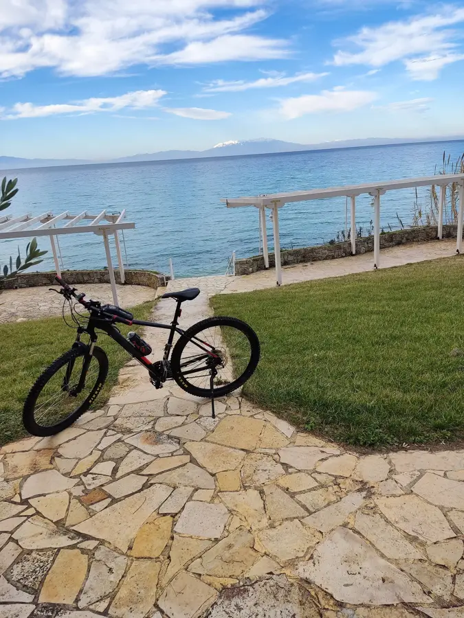
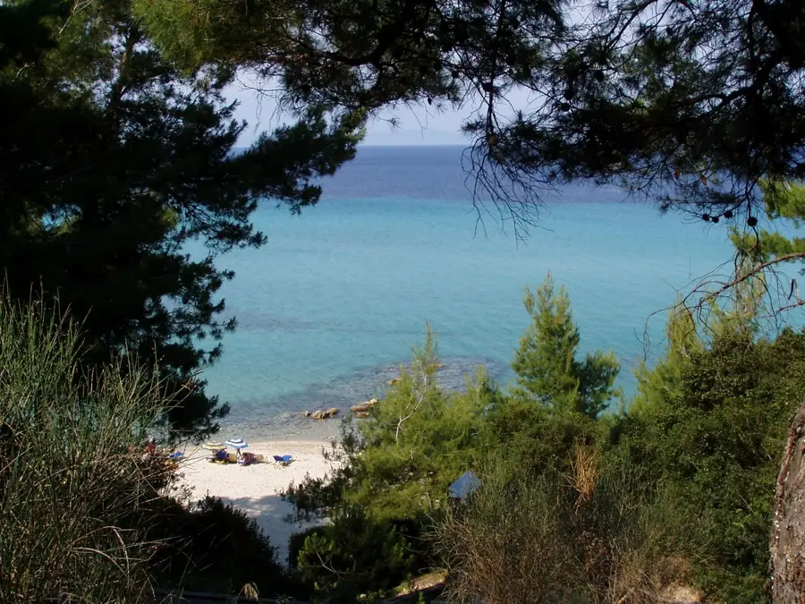
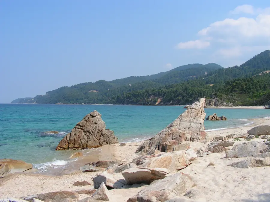
📍 Nearby
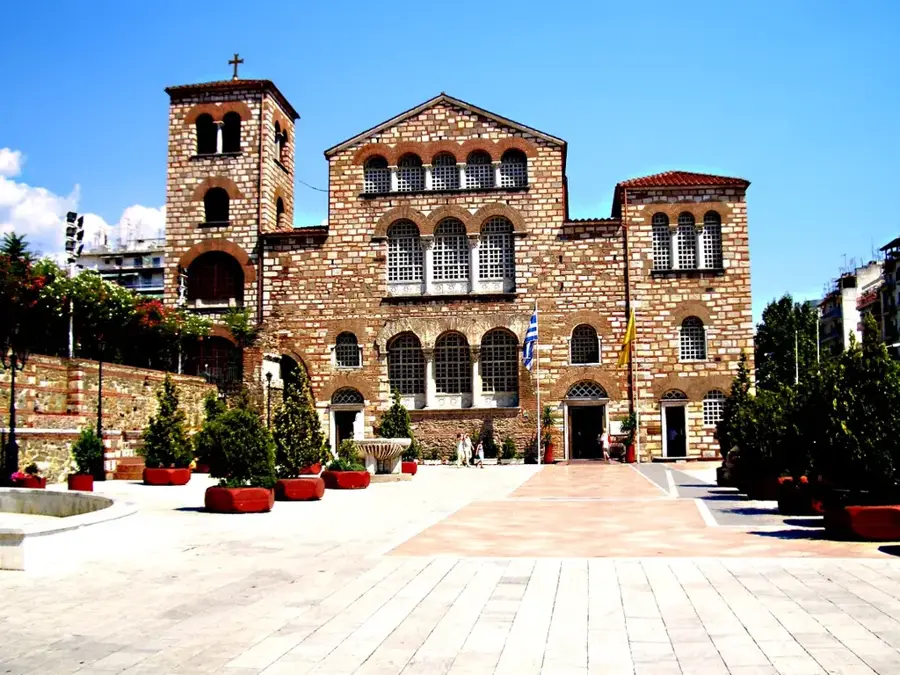
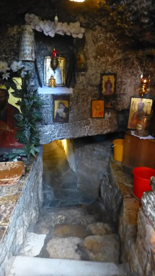
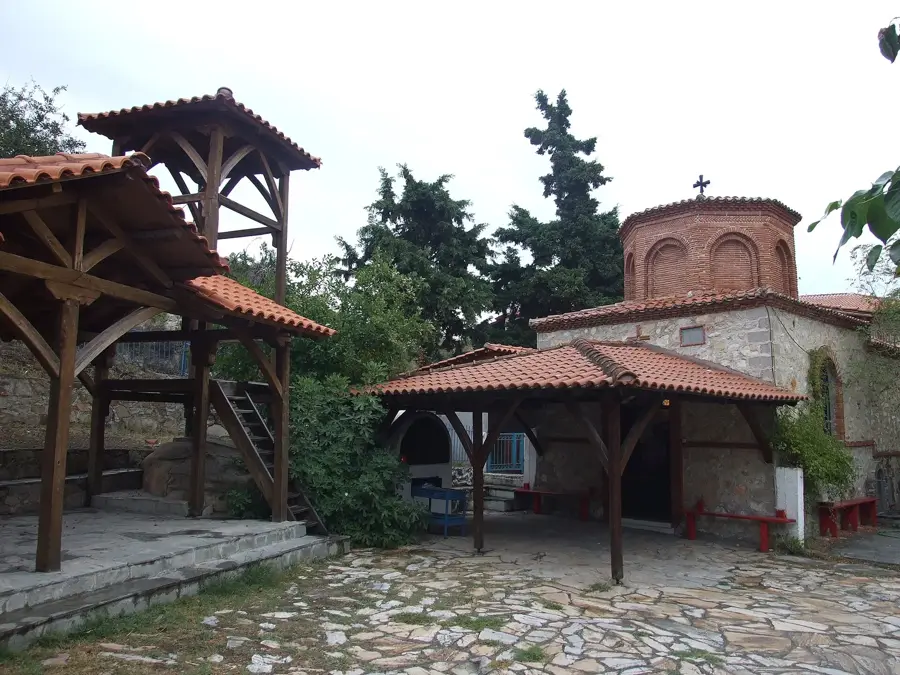
Sights nearby
💡 Tips
- Hike up to the Profitis Ilias chapel for a sweeping panoramic view of all three 'fingers' of the Halkidiki peninsula.
- Visit in the late afternoon when the mountain air provides a refreshing break from the coastal heat.
- Park your car in the lower part of town and explore the narrow, steep alleys of the old quarters on foot.
- Enjoy a slow coffee in the central square to experience the authentic, non-touristy atmosphere of the regional capital.
🍽 Food
A hearty specialty from the Cholomontas mountains, best enjoyed in the traditional tavernas of the upper town.
Look in small local shops for the dark, rich honey harvested directly from the surrounding mountain forests.
Visit a traditional grill house (psistaria) for spit-roasted meats, a staple of the local mountain cuisine.
🛍 Shopping · 🧘 Quiet spots
The best place to buy premium Halkidiki olive oil and hand-picked herbs from the mountain slopes.
Look for small workshops selling traditional items carved from local wood sourced from the Cholomontas forest.
A shaded park with running spring water, first-rate for a quiet break during hot summer days.
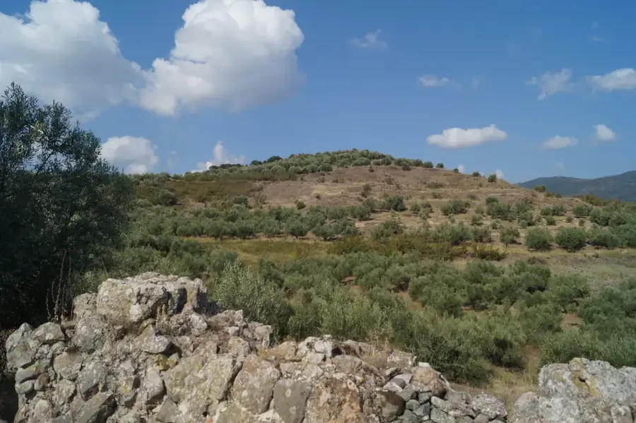
Marked walking trails through dense chestnut and oak forests start just above the town's upper limits.
Water temperature…
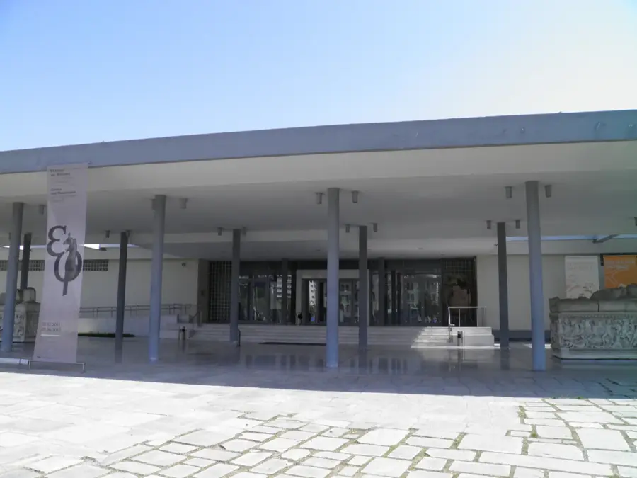
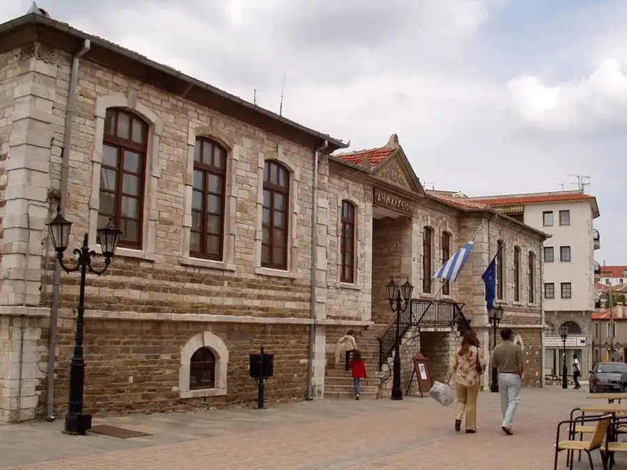
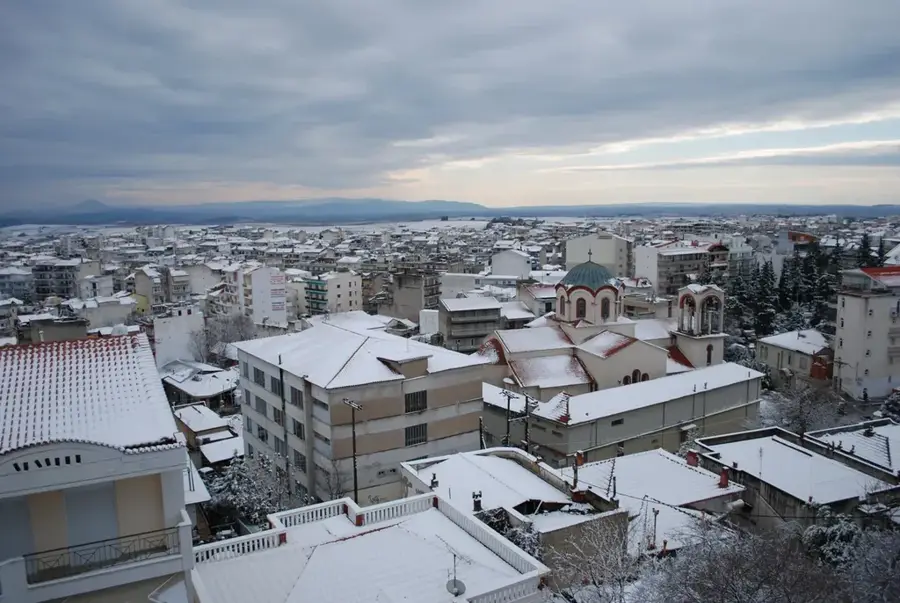
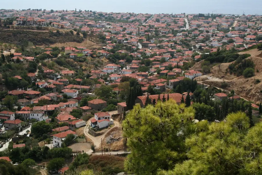
Polygyros serves as the administrative capital of the Chalkidiki regional unit, positioned on the southwestern slopes of Mount Cholomon at an elevation of 560 meters. The city's historical significance is deeply rooted in the 1821 Greek War of Independence, as its citizens were the first in the region to rise against Ottoman rule. Its current urban form displays a functional mix of traditional Macedonian architecture and contemporary administrative buildings, reflecting its status as a regional hub. The Archaeological Museum of Polygyros is a key cultural attraction, housing important artifacts from ancient settlements such as Olynthos and Stageira. The local economy is primarily driven by agriculture, with the cultivation of table olives and the production of olive oil being the most prominent activities. Encompassed by vast forests of oak and pine, the city enjoys a temperate climate that features a distinct contrast to the coastal areas of the peninsula. Polygyros also functions as a critical transportation link, connecting the mountainous interior with the popular tourist destinations of Kassandra and Sithonia.
- Location: Greece
- Nearby: Nea Moudania (14 km)
- Population: ~10.000
Best time to visit & climate
The most pleasant time to visit is May, Jun, Sep.
| Jan | Feb | Mar | Apr | May | Jun | Jul | Aug | Sep | Oct | Nov | Dec | |
|---|---|---|---|---|---|---|---|---|---|---|---|---|
| Avg °C | 6 | 7 | 10 | 13 | 19 | 24 | 27 | 27 | 22 | 17 | 12 | 8 |
| Rain mm | 52 | 40 | 48 | 39 | 43 | 35 | 26 | 19 | 44 | 49 | 47 | 68 |
Geography
Facts
- Administrative capital of the Chalkidiki regional unit.
- Built on the slopes of Mount Cholomon at 560 meters altitude.
- Site of the 1821 Greek uprising in Chalkidiki on May 17th.
- Home to the Archaeological Museum featuring Olynthos artifacts.
- Economic center for the region's prominent olive industry.
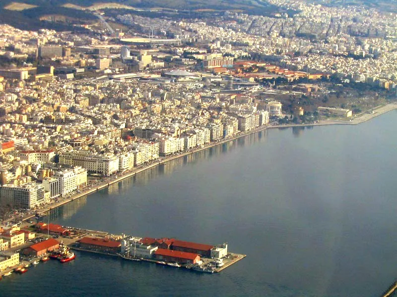
- Located approximately 70 kilometers from the city of Thessaloniki.
Explore nearby
Notable places around
Route planner — Car & Motorhome
Where do you start? We build the route here, with stops and country notes along the way.
© OpenStreetMap contributors · OpenRouteService
Frequently asked questions
What is Polygyros?
Is there a museum in Polygyros?
How far is the sea?
What is Mount Cholomontas known for?
When is the weekly market?
Polygyros: where is it located?
Polygyros: when is the best time to visit?
Polygyros: why is it worth visiting?

Nearby cities


Nature
More places