Plizio Visual Lab
Kintampo Plateau
Weather…
Water temperature…
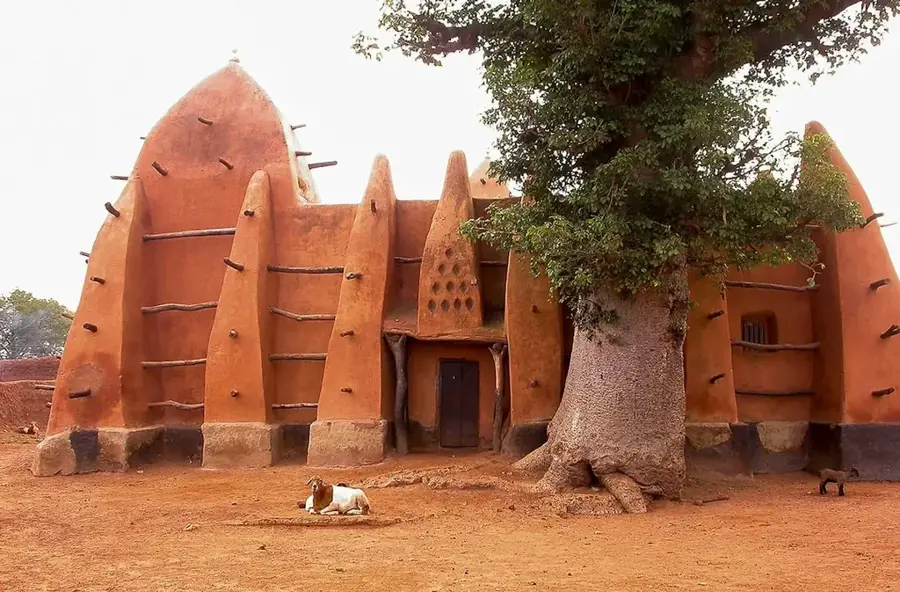
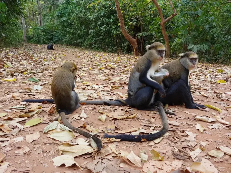
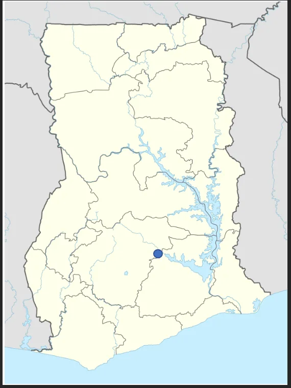
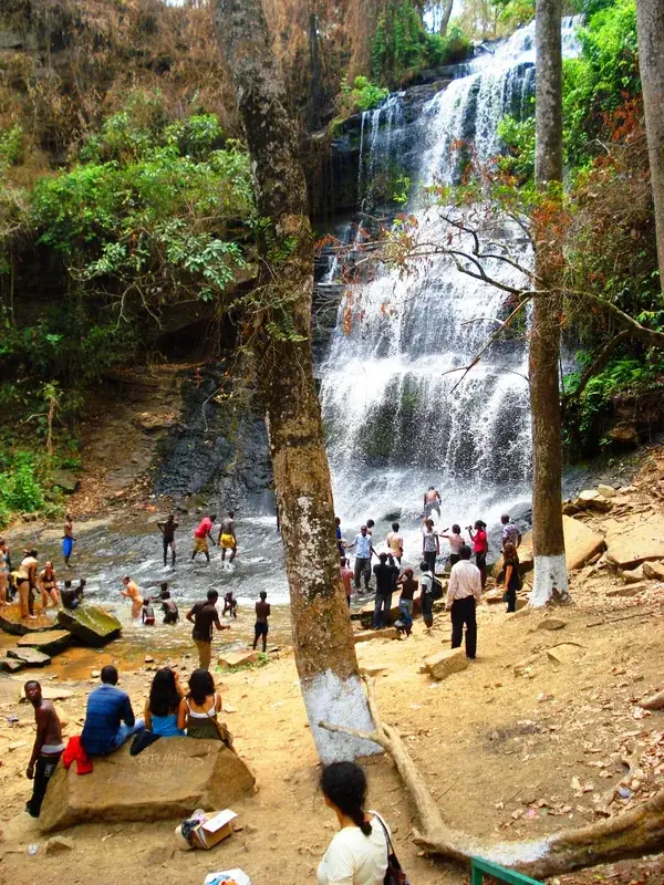
The Kintampo Plateau is located in central Ghana, serving as a prominent geological transition zone between the southern rainforest belt and the northern savanna. The plateau consists primarily of Voltaian sandstone formations, with elevations ranging from 300 to 400 meters above sea level. It is widely recognized for its spectacular natural features, most notably the Kintampo Falls on the Pumpum River, which descend over several distinct rock tiers. Geomorphologically, the plateau is an escarpment shaped by millions of years of erosion, characterized by rugged cliffs and deep river valleys. The region is ecologically significant as a transitional habitat, supporting a mix of forest and savanna species. Archaeologically, the area is the namesake of the Kintampo Culture, one of the earliest sedentary farming communities in West Africa, dating back to 2500 BCE. The town of Kintampo sits near the geographic center of Ghana, highlighting the plateau's strategic and central role in national geography.
- Location: Ghana
- Nearby: Kintampo (7 km)
Best time to visit & climate
The most pleasant time to visit is Jan, Nov, Dec.
| Jan | Feb | Mar | Apr | May | Jun | Jul | Aug | Sep | Oct | Nov | Dec | |
|---|---|---|---|---|---|---|---|---|---|---|---|---|
| Avg °C | 27 | 29 | 30 | 29 | 28 | 27 | 26 | 26 | 26 | 26 | 27 | 27 |
| Rain mm | 7 | 24 | 57 | 102 | 126 | 151 | 168 | 141 | 206 | 138 | 29 | 6 |
📋 Practical info
Geography
Facts
- Average elevation between 300 and 400 meters
- Composed mainly of Voltaian sandstone rocks
- Home to the multi-tiered Kintampo Waterfalls
- Considered the geographic center of Ghana
- Eponymous site for the Neolithic Kintampo Culture
- Transition zone between rainforest and savanna
Explore nearby
Notable places around
Route planner — Car & Motorhome
Where do you start? We build the route here, with stops and country notes along the way.
© OpenStreetMap contributors · OpenRouteService
Sights nearby
Frequently asked questions
Where is the Kintampo Plateau located?
What is the most famous attraction nearby?
Why is the plateau historically important?
What is the vegetation like on the plateau?
Is the plateau easily accessible?
Kintampo Plateau: where is it located?
Kintampo Plateau: when is the best time to visit?
Kintampo Plateau: why is it worth visiting?

Nearby cities

Nature
More places