Plizio Visual Lab
Ejura

ℹ️Practical info — Ejura
▾
🌤 Weather — 5 days
📍 Nearby
Sights nearby
💡 Tips
- Friday is the major market day when the town comes alive with traders from all over.
- Try to learn a few greetings in Twi, it goes a long way with the locals.
- Cash is king here, so bring enough Cedis for smaller purchases.
- It gets quite warm, so early morning or late afternoon is best for walking around.
- The local transport (tro-tro) is cheap but can be crowded.
🍽 Food
As a yam production hub, you must try dishes made from fresh local yams at a chop bar.
A popular breakfast of rice and beans found at local street vendors.
Spicy fried plantains, an excellent evening snack sold by the roadside.
🛍 Shopping · 🧘 Quiet spots
Buy fresh yams straight from the source on market days at great prices.
Look for lively fabrics and prints in the small shops around the town center.
Take a quiet walk along the dirt roads leading to the yam fields just outside town.
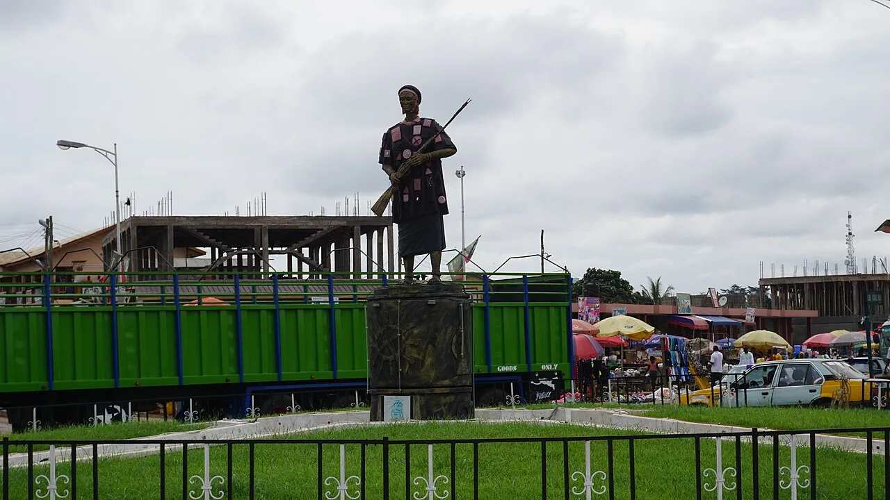
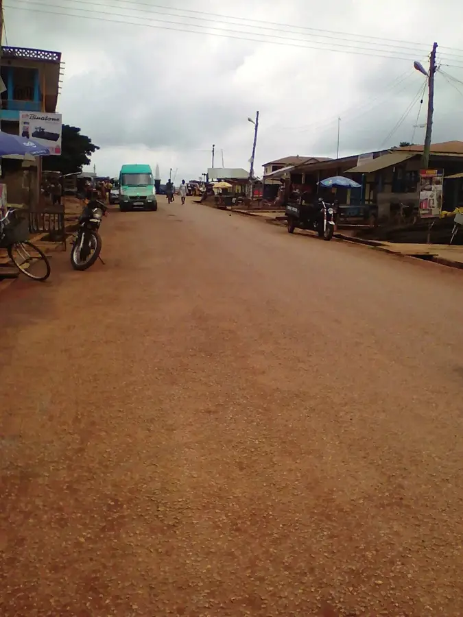
A peaceful area to observe the daily life and striking local architecture.
Water temperature…
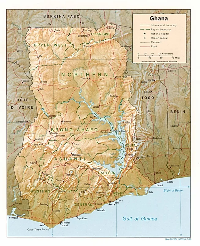
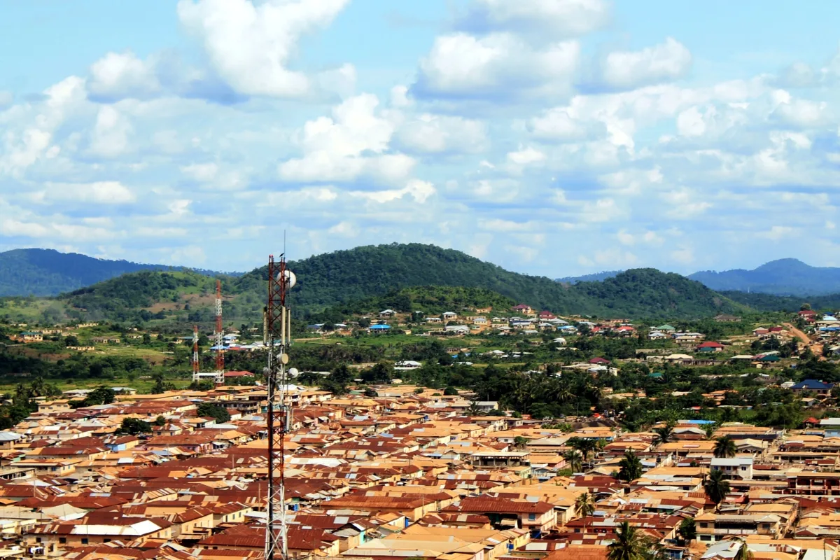
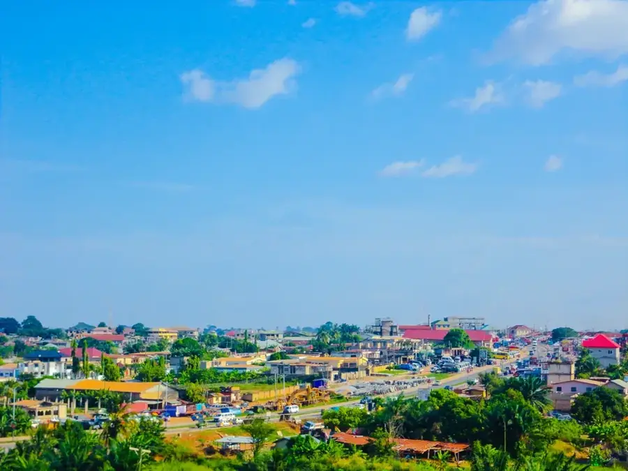
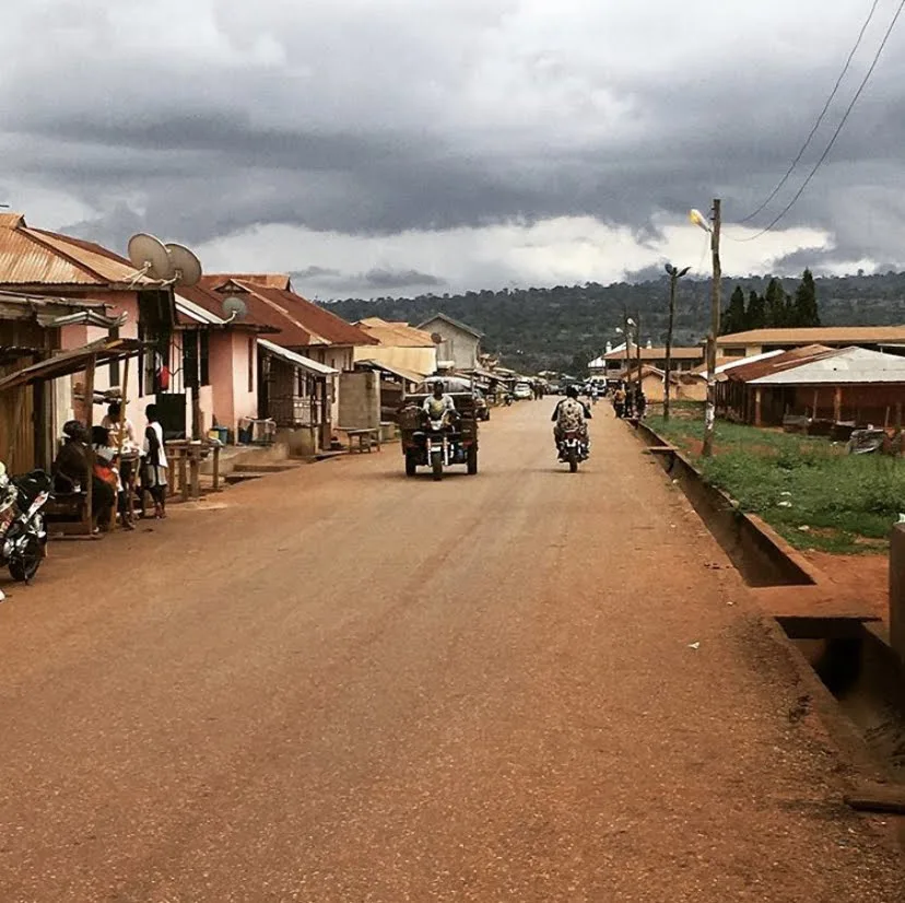
Ejura is a key agricultural and commercial town located in the Ashanti Region of Ghana, functioning as the administrative capital of the Ejura-Sekyedumase Municipal District. Situated in the transitional zone between the southern forest and northern savanna, its geography provides fertile land well-suited for large-scale farming. Historically, Ejura has been a crucial stop on the trade route between Kumasi and the northern territories, facilitating the movement of yams, maize, and cattle. The local economy is heavily centered on agriculture, with the town being one of Ghana's primary producers of maize and legumes, often referred to as a breadbasket of the nation. Modern Ejura is a diverse community, reflecting its history as a melting pot for various ethnic groups from across West Africa. The town's infrastructure includes major markets and agricultural research facilities that support its vital role in Ghana's food security.
- Location: Ghana
- Nearby: Mampong (36 km)
- Population: ~70.807 (2019)
Best time to visit & climate
The most pleasant time to visit is Jan, Nov, Dec.
| Jan | Feb | Mar | Apr | May | Jun | Jul | Aug | Sep | Oct | Nov | Dec | |
|---|---|---|---|---|---|---|---|---|---|---|---|---|
| Avg °C | 27 | 29 | 29 | 29 | 28 | 26 | 25 | 25 | 26 | 26 | 27 | 26 |
| Rain mm | 11 | 34 | 75 | 105 | 135 | 168 | 156 | 115 | 191 | 162 | 46 | 11 |
Geography
Facts
- Capital of the Ejura-Sekyedumase District, established in 1988.
- Population was 44,807 according to the 2010 national census.
- Situated at an elevation of 225 meters in the transitional forest zone.
- Located approximately 103 kilometers north of Kumasi on the Tamale highway.
- One of Ghana's largest producers of maize, contributing significantly to national stocks.
- The annual Ejura-Sekyedumase Agricultural Show was first held to promote local farming.
Explore nearby
Notable places around
Route planner — Car & Motorhome
Where do you start? We build the route here, with stops and country notes along the way.
© OpenStreetMap contributors · OpenRouteService
Sights in the town Ejura (1)
Frequently asked questions
What is the main attraction in Ejura?
How is the climate in Ejura?
How long should you plan for a visit?
Are there hotels in Ejura?
What language is spoken locally?
Ejura: where is it located?
Ejura: when is the best time to visit?
Ejura: why is it worth visiting?

Nearby cities


History & landmarks
More places