Plizio Visual Lab
Kintampo
ℹ️Practical info — Kintampo
▾
🌤 Weather — 5 days
📍 Nearby
Sights nearby
💡 Tips
- Visit the Kintampo Waterfalls early in the morning to avoid the heat and crowds.
- Shared taxis (tro-tros) are the best way to get around locally.
- Stop by the monument marking the exact geographical center of Ghana.
- Carry mosquito repellent and dress in light, breathable clothing.
🍽 Food
Spicy meat skewers available at evening street food stalls.
A traditional hearty meal, best enjoyed at a local 'chop bar'.
Spicy fried plantain cubes, typically sold by night vendors.
🛍 Shopping · 🧘 Quiet spots
Bustling market for fresh tropical fruits, vegetables, and daily goods.
Small stalls near the entrance of the waterfalls selling wood carvings and beadwork.
A less crowded, tranquil series of cascades just outside the town.
Stroll along the riverbanks for a peaceful natural setting.
Water temperature…
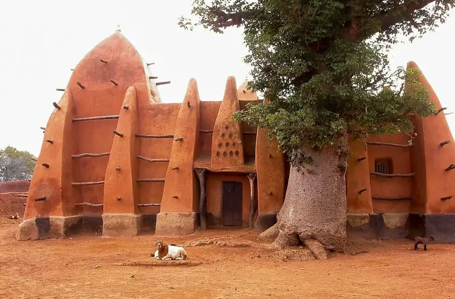
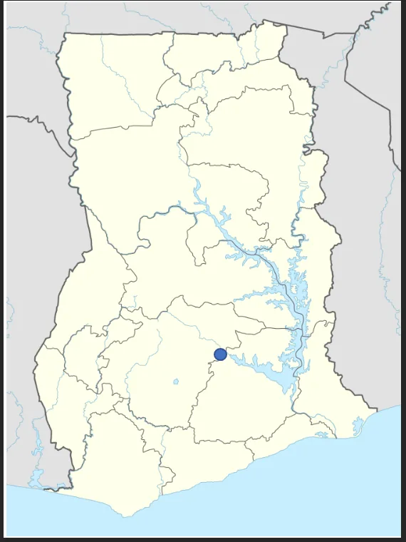
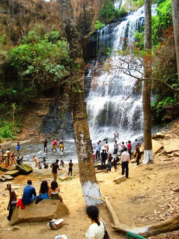
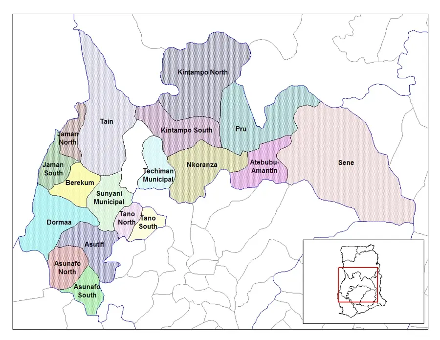
Kintampo is located in the heart of Ghana in the Bono East Region and is widely regarded as the geographical center of the country, marked by a specific monument. The town is world-famous for the Kintampo Waterfalls on the Pumpum River, which descend in three stages over approximately 25 meters. Historically, the site is of immense archaeological significance, as the "Kintampo Culture" (c. 2000-500 BC) marks the transition to settled agriculture in West Africa. During the colonial era, Kintampo served as a vital military post for the British Gold Coast forces due to its central location. Today, the town is a major commercial hub for agricultural products such as yams, maize, and cashew nuts. Cultural diversity is prominent, as Kintampo acts as a melting pot for various ethnic groups from both northern and southern Ghana. The town also houses important health education institutions, reinforcing its regional significance.
- Location: Ghana
- Top sights: Kintampo North Municipal District · Kintampo, Ghana · Kintampo District
- Nearby: Nkoranza (55 km)
- Population: ~53.711 (2023)
Best time to visit & climate
The most pleasant time to visit is Jan, Nov, Dec.
| Jan | Feb | Mar | Apr | May | Jun | Jul | Aug | Sep | Oct | Nov | Dec | |
|---|---|---|---|---|---|---|---|---|---|---|---|---|
| Avg °C | 27 | 29 | 30 | 29 | 28 | 27 | 26 | 26 | 26 | 26 | 27 | 27 |
| Rain mm | 7 | 24 | 57 | 102 | 126 | 151 | 168 | 141 | 206 | 138 | 29 | 6 |
Geography
Facts
- Kintampo is considered the geographical center of Ghana.
- The Kintampo Waterfalls drop over 25 meters in three stages.
- The archaeological Kintampo Culture dates back to 2000 BC.
- The town lies on the main highway between Kumasi and Tamale.
- It is a significant market hub for the yam trade.
- The town is home to the College of Health and Well-Being.
Explore nearby
Notable places around
Route planner — Car & Motorhome
Where do you start? We build the route here, with stops and country notes along the way.
© OpenStreetMap contributors · OpenRouteService
Sights in the town Kintampo (3)
Frequently asked questions
Why is Kintampo geographically significant?
What is the most famous natural attraction?
How is the road connection?
Can you swim at the falls?
Are there hotels near the falls?
Kintampo: where is it located?
Kintampo: what is there to see?
Kintampo: when is the best time to visit?
Kintampo: why is it worth visiting?

Nearby cities

Nature
More places