CVJM New Year's Eve Run at the Obernau Reservoir
Annual New Year's Eve run on December 31 around the Obernau reservoir, organized by CVJM Siegerland, with a children's race and a 10 km run or walk route.
Plizio Visual Lab
A breaded pork cutlet served on rye bread, topped with a fried egg; find it in traditional local pubs.
Ask at traditional local bakeries for this dense, savory regional potato loaf.
Try locally caught trout at a traditional inn near the forested river valleys.
Look out for small farm shops in the surrounding villages selling regional cheese, sausage, and honey.
The main streets offer quaint bakeries where you can pick up traditional local breads and pastries.
The paved path around the reservoir is completely traffic-free and well-suited for a calm nature walk.
Visit the forested area where the Sieg river begins for a tranquil, deeply wooded atmosphere.
Water temperature…
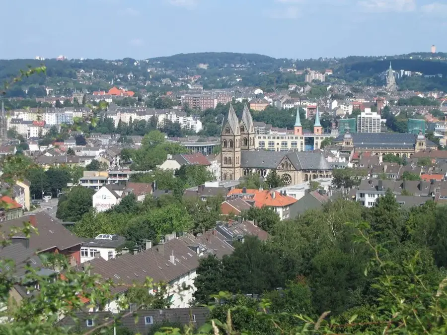
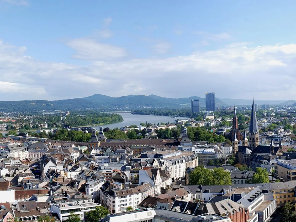
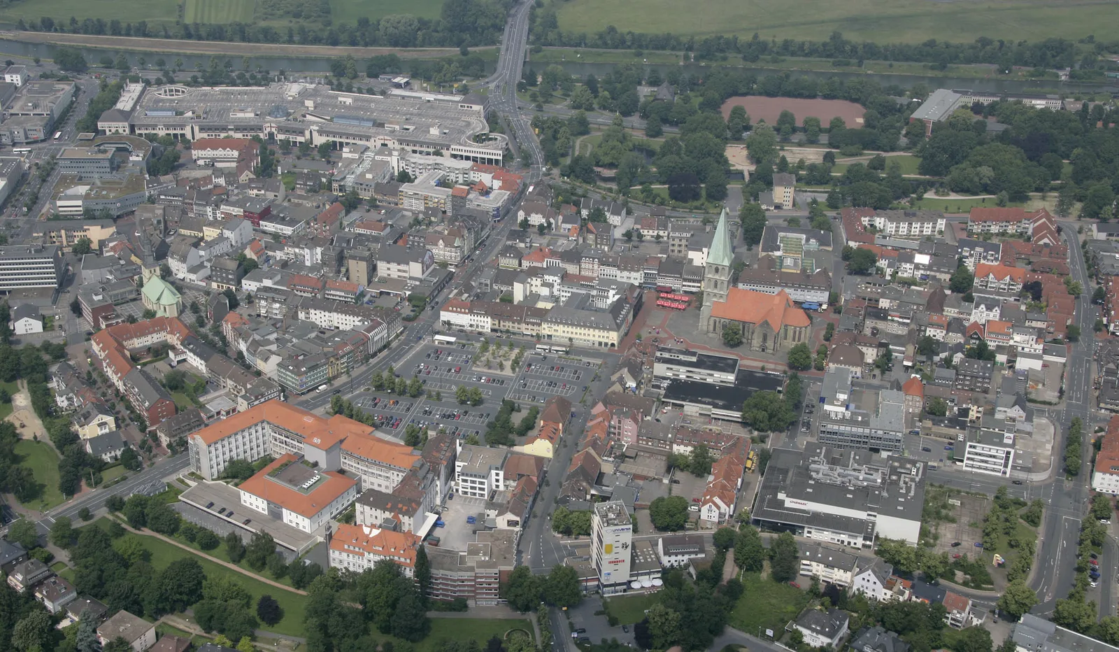
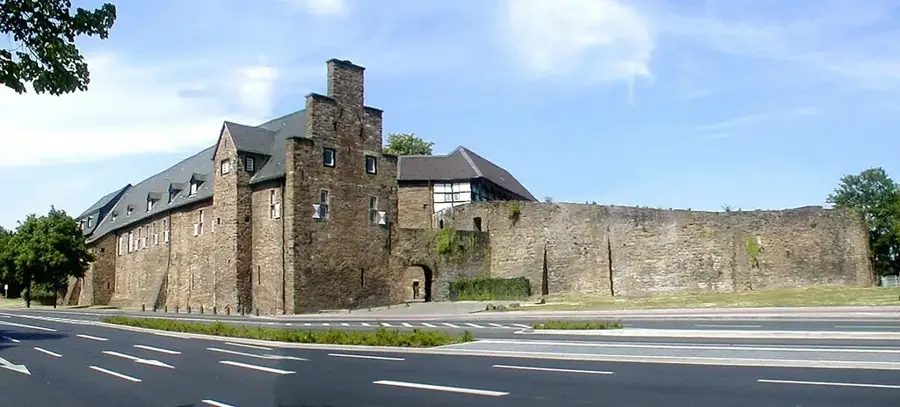
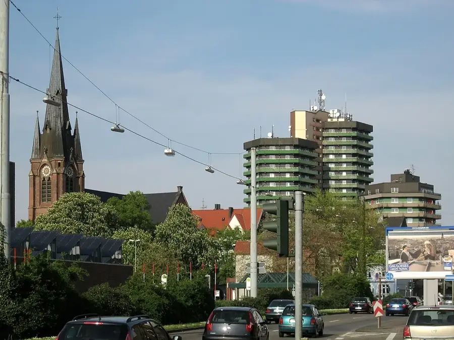
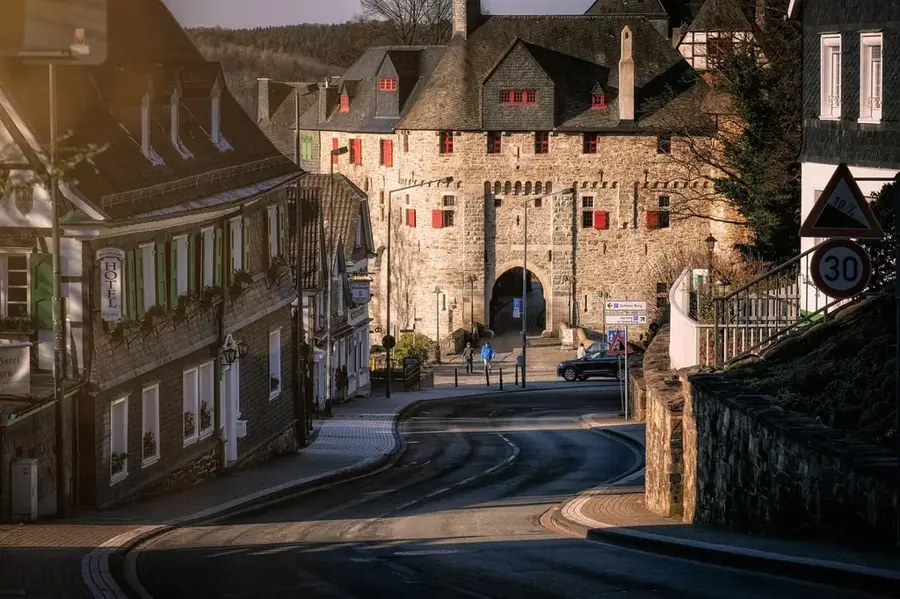
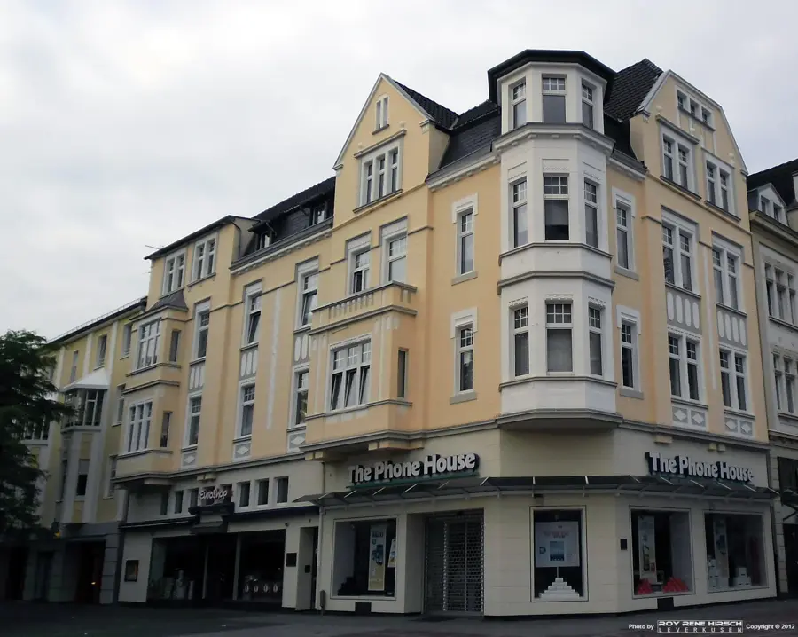
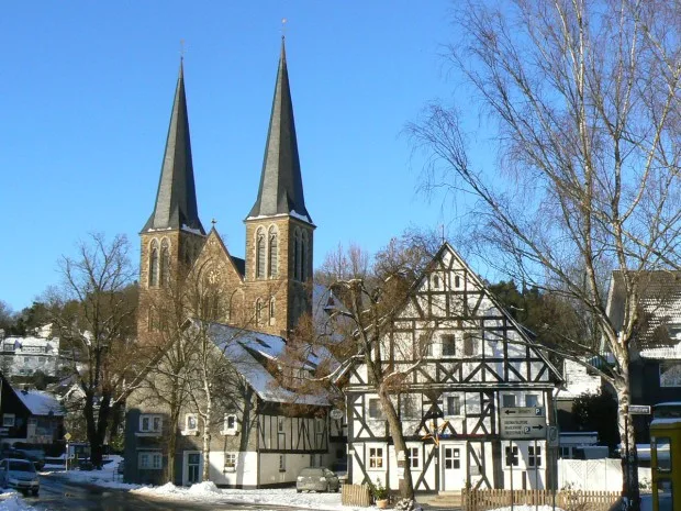
Netphen, located in the eastern Siegerland region of North Rhine-Westphalia, is geographically distinct as the 'City of Springs'. It is the rare site where three major rivers, the Sieg, Lahn, and Eder, have their headwaters within the same municipal territory. Surrounded by the dense forests of the Rothaar Mountains, Netphen is a premier destination for outdoor enthusiasts, offering direct access to the Rothaarsteig hiking trail. A major landmark is the Obernau Dam, the region's largest drinking water reservoir, featuring a scenic 9.6-kilometer path popular for cycling and skating. Historically, the area was defined by iron mining and a unique communal forestry system known as 'Hauberg', which provided charcoal for local ironworks. Today, Netphen is a collection of 21 characterful districts, combining peaceful residential areas with modern amenities like the Siegerland Sport Park, making it a highly desirable location for families and nature lovers.
The most pleasant time to visit is Jun–Aug.
| Jan | Feb | Mar | Apr | May | Jun | Jul | Aug | Sep | Oct | Nov | Dec | |
|---|---|---|---|---|---|---|---|---|---|---|---|---|
| Avg °C | -1 | 0 | 3 | 8 | 12 | 15 | 18 | 17 | 13 | 9 | 4 | 1 |
| Rain mm | 89 | 68 | 66 | 52 | 78 | 76 | 87 | 84 | 69 | 69 | 81 | 91 |
Notable places around
Where do you start? We build the route here, with stops and country notes along the way.
© OpenStreetMap contributors · OpenRouteService