Plizio Visual Lab
Kierspe
ℹ️Practical info — Kierspe
▾
🌤 Weather — 5 days
📍 Nearby
Sights nearby
💡 Tips
- A car is highly recommended to reach the extensive forests and reservoirs of the region.
- Plan hikes around the reservoirs for the morning when the trails are still very quiet.
- Inquire about the opening days of the Schleiper Hammer, a historic industrial monument.
- The Wienhagener observation tower gives the best panoramic view over the Sauerland on clear days.
- Many hiking parking lots outside the center are free of charge, pay attention to the signs.
🍽 Food
A traditional potato dish from the Sauerland, often served in the country inns of the area.
Strong-flavored ham, best tried on a cold platter in rustic pubs.
Fresh fish from the clear streams, found on the menus of restaurants near the reservoirs.
🛍 Shopping · 🧘 Quiet spots
Buy fresh eggs, cheese, and other rural products directly from the farms in the outskirts.
Get the typical dark bread here for a picnic in the forest.
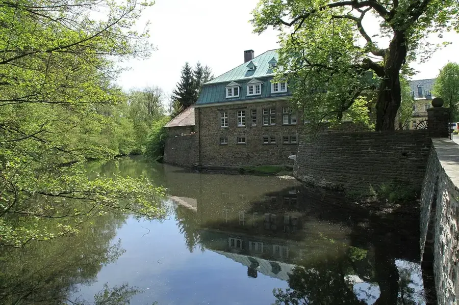
A scenic drinking water reservoir surrounded by a quiet forest path.
Dense forests where you can enjoy nature far from road traffic.
Water temperature…
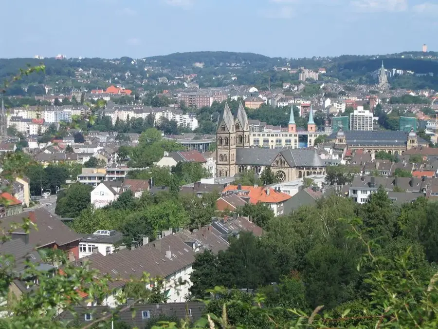
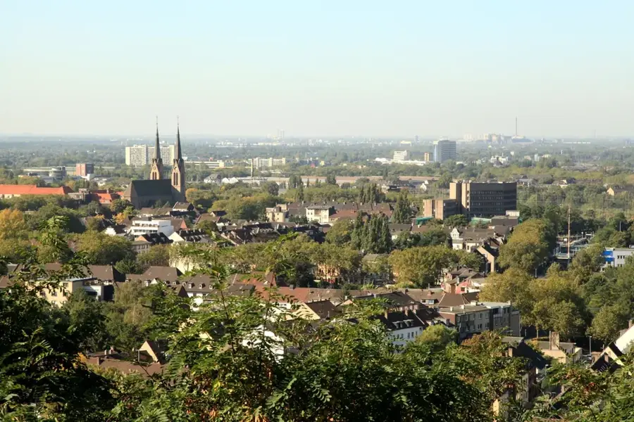
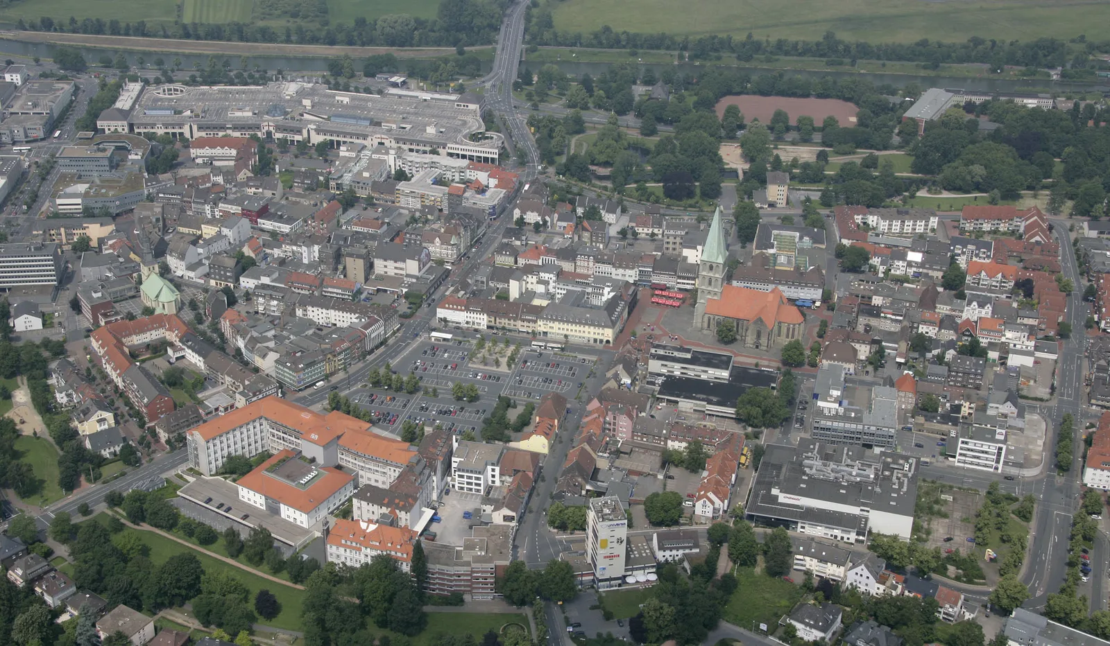
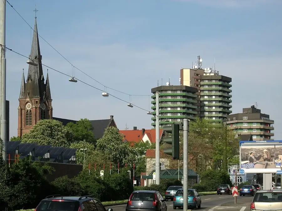
Kierspe, positioned in the western part of the Sauerland region in North Rhine-Westphalia, is a town where natural beauty and industrial innovation coexist. The landscape is defined by the surrounding Märkische mountains and vital reservoirs like the Kerspe Dam, which provides drinking water to the wider region. Kierspe's industrial rise is uniquely linked to the birth of the plastics industry; specifically, the processing of Bakelite, the world's first synthetic plastic. This heritage is preserved in a specialized museum section within the town, making it a point of interest for technological history enthusiasts. The town is divided into several districts, with Kierspe and Rönsahl being the most prominent. Visitors are often drawn to the 'Sauerland-Höhenflug' hiking trail, which has wide-open views of the forested valleys. Economically, the town remains a stronghold for plastics and metal processing companies. Kierspe manages to maintain a high level of biodiversity and recreational space despite its industrial core, offering residents and tourists a balanced environment for living and exploration.
- Location: North Rhine-Westphalia, Germany
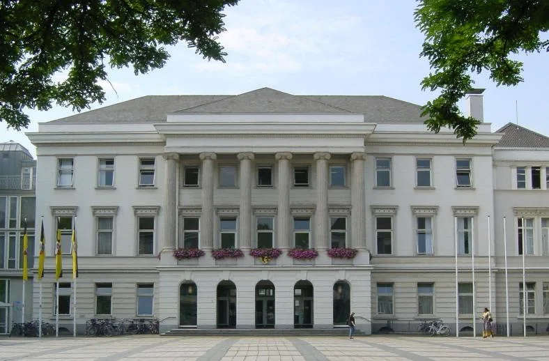
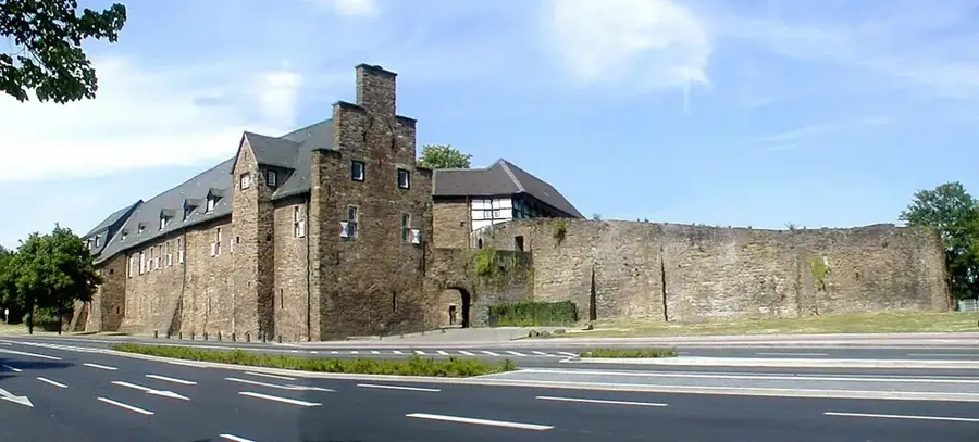
- Top sights: Schleiper Hammer · St. Margaret's Church · Bakelite Museum
- Nearby: Meinerzhagen (6 km)
- Population: ~16.320
Best time to visit & climate
The most pleasant time to visit is Jun–Aug.
| Jan | Feb | Mar | Apr | May | Jun | Jul | Aug | Sep | Oct | Nov | Dec | |
|---|---|---|---|---|---|---|---|---|---|---|---|---|
| Avg °C | 0 | 1 | 4 | 9 | 13 | 16 | 19 | 18 | 14 | 10 | 5 | 2 |
| Rain mm | 90 | 72 | 67 | 50 | 73 | 75 | 84 | 85 | 66 | 69 | 82 | 92 |
Geography
Facts
- Granted city rights in 1969.
- Largest reservoir: Kerspe Dam.
- Highest point: Wienhagen (479 m).
- Total land area: 71.63 km².
- Economic focus: Plastics technology.
- Geographical region: Sauerland.
Explore nearby
Notable places around
Route planner — Car & Motorhome
Where do you start? We build the route here, with stops and country notes along the way.
© OpenStreetMap contributors · OpenRouteService
Sights in the town Kierspe (10)
Frequently asked questions
What is special about the Bakelite Museum in Kierspe?
Where is a good place to hike in Kierspe?
What is the 'Schleiper Hammer'?
Which local specialty should you try?
When is the best time to visit Kierspe?
Kierspe: where is it located?
Kierspe: what is there to see?
Kierspe: when is the best time to visit?
Kierspe: why is it worth visiting?

Nearby cities