Plizio Visual Lab
Haardt
Weather…
Water temperature…
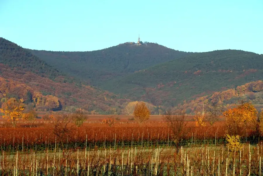
The Haardt is a mountain range approximately 30 kilometers long situated on the eastern edge of the Palatinate Forest in Rhineland-Palatinate. It marks the transition to the Upper Rhine Plain and is characterized by steep eastern slopes. The highest peak in the Haardt and the entire Palatinate Forest is the Kalmit, reaching 673 meters above sea level. Geologically, the range is predominantly composed of Palatinate Bunter sandstone deposited during the Triassic period. The region enjoys a favorable climate, enabling viticulture along its eastern margins in the so-called Haardt wine region. Numerous castles and ruins, such as Hambach Castle, are located on the strategically advantageous slopes of the Haardt, bearing witness to its historical significance as a border region. The vegetation consists primarily of pine forests and sweet chestnuts, which thrive particularly well in the local mild climate.
- Location: Hesse, Germany
- Top sights: Hermannskopf · Teufelsfelsen · Alter Teufelsfelsen
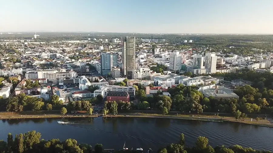
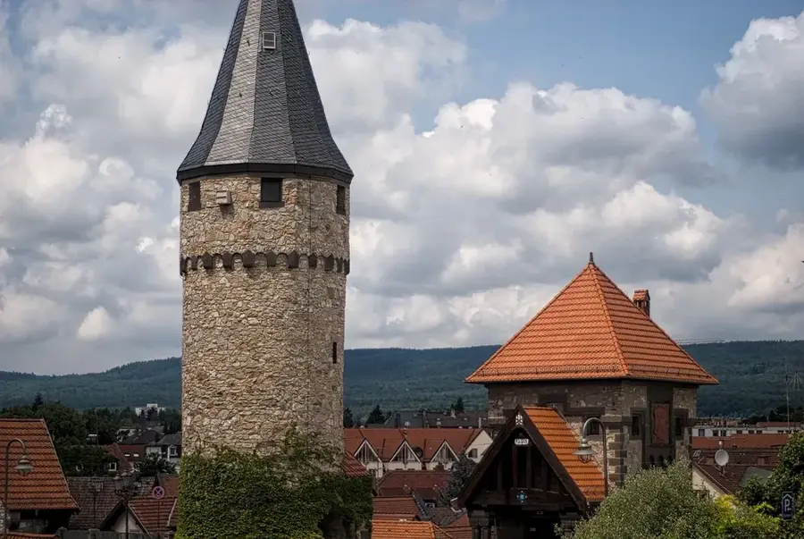
- Nearby: Neustadt an der Weinstraße (5 km)
Best time to visit & climate
The most pleasant time to visit is Jun–Aug.
| Jan | Feb | Mar | Apr | May | Jun | Jul | Aug | Sep | Oct | Nov | Dec | |
|---|---|---|---|---|---|---|---|---|---|---|---|---|
| Avg °C | 0 | 1 | 5 | 10 | 14 | 18 | 21 | 20 | 15 | 10 | 5 | 1 |
| Rain mm | 55 | 45 | 47 | 40 | 69 | 61 | 65 | 67 | 48 | 57 | 57 | 65 |
📋 Practical info
Geography
Facts
- Highest point is the Kalmit at 673 meters.
- Length of the mountain range is about 30 kilometers.
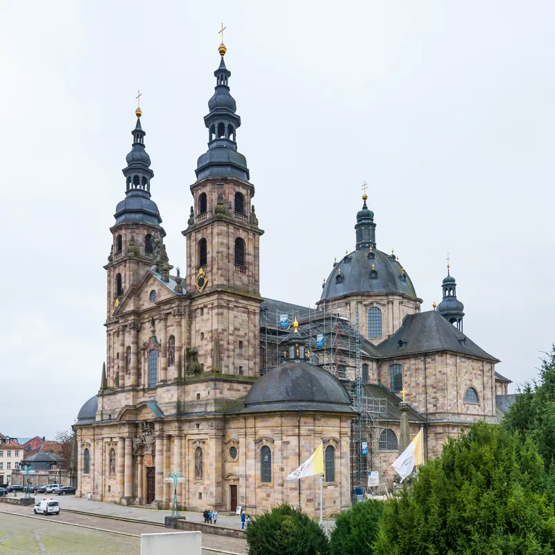
- Home to Hambach Castle, cradle of German democracy.
- The Bunter sandstone is over 200 million years old.
- The region enjoys over 1,800 sunshine hours per year.
- Sweet chestnuts were introduced here by the Romans.
Explore nearby
Notable places around
Route planner — Car & Motorhome
Where do you start? We build the route here, with stops and country notes along the way.
© OpenStreetMap contributors · OpenRouteService
Sights in the town Haardt (10)
Schwalbeneck
Hill in Germany. Wooded elevation in the Palatinate Forest.
Ritterstein 305 "Lellebebbel-Pädel"
South of Lambertskreuz, between Flurberg, Steinberg and Hinterer Stoppelkopf. Orientation point on the path of the same name towards Lambertskreuz.
Dicker-Stein-Turm
Observation tower near Lambrecht (Pfalz). Features a panoramic view of the Palatinate Forest.
Ritterstein 258 "Alte Straße-Zollstation"
South of Forsthaus Silbertal, in the saddle between Vorderer Stoppelkopf and Hinterer Langenberg. Old road junction. A customs station stood here between the Bishopric of Speyer and the Electoral Palatinate, and a Prussian redoubt from the Revolutionary Wars.
Freilichtbühne Grundschule Neidenfels-Frankeneck
Open-air stage on the grounds of the elementary school. Venue for theatre and concerts.
Papiermacher und Heimatmuseum🏛 museum
Museum in Germany. Shows the history of papermaking and regional culture.
Burg Neidenfels
Castle ruins in the Palatinate Forest. Remains of a medieval hill castle.
Sights nearby
Frequently asked questions
Where is the Haardt mountain range located?
What is the highest mountain in the Haardt?
Which castle is particularly worth seeing?
When is the best time for hiking?
Are there Palatinate Forest huts?
Haardt: where is it located?
Haardt: what is there to see?
Haardt: when is the best time to visit?
Haardt: why is it worth visiting?

Nearby cities