Plizio Visual Lab
Pana
ℹ️Practical info — Pana
▾
🌤 Weather — 5 days
📍 Nearby
Sights nearby
💡 Tips
- Tourist infrastructure is practically non-existent; you will need to rely on local hospitality and self-sufficiency.
- Always introduce yourself to the village chief or local authorities upon arrival as a sign of respect.
- Carry all necessary medications and a good first aid kit, as there are no well-equipped clinics.
- Photography of people or specific buildings should only be done after receiving clear, verbal permission.
🍽 Food
Often collected by locals and added to flavorful stews; ask if they are in season at the village cookhouses.
A rich, peanut-based soup commonly served with pounded yam or cassava.
Locals might share seasonal forest fruits like African plums (Safou); try them boiled or roasted.
🛍 Shopping · 🧘 Quiet spots
The tiny market mainly trades in daily necessities, roots, and vegetables.
You may occasionally find locally woven baskets meant for agricultural use.
Simply walking a few hundred meters out of the settlement brings you into deep, tranquil forest.
Ask locals for the path to the nearest freshwater stream where they fetch water, usually a peaceful spot.
Water temperature…
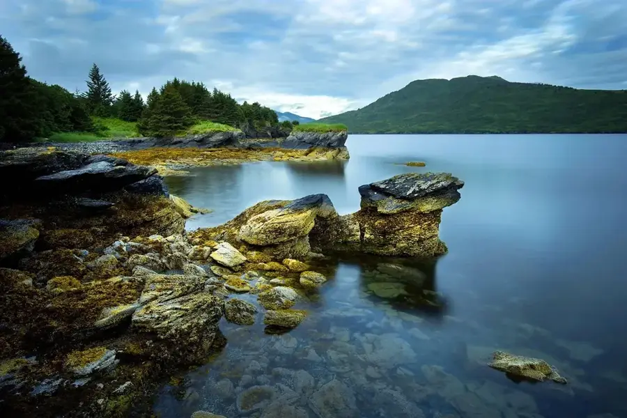
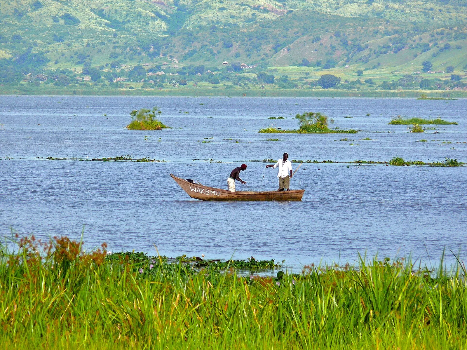
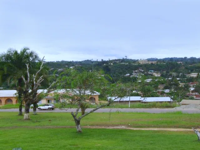
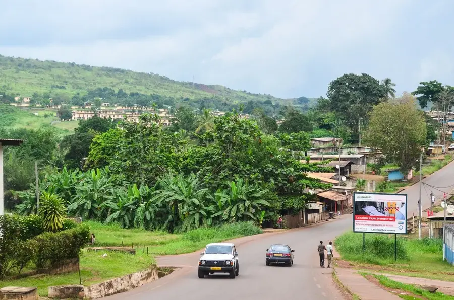
Pana is a welcoming small town in the Lolo-Bouenguidi province of eastern Gabon, known for its secluded location and impressive natural scenery. The settlement is situated in a mountainous region that is part of the Chaillu Massif, giving it a relatively cooler climate than the coastal regions. Historically, Pana developed as a local trading center for agricultural products from surrounding villages. The local economy today is primarily driven by subsistence farming and the cultivation of peanuts, corn, and cassava. Geographically, the town is surrounded by dense primary forests that house a rich fauna and offer potential for ecotourism. The infrastructure is simple, yet the town serves as an important administrative outpost for the Lombo-Bouenguidi department. Culturally, Pana is characterized by the traditions of local ethnic groups, whose festivals and customs are deeply rooted in nature worship. The surroundings are also defined by numerous small streams and valleys that shape the landscape.
- Location: Gabon
- Nearby: Bakoumba (56 km)
- Population: ~1.897 (2023)
Best time to visit & climate
The most pleasant time to visit is Jun–Aug.
| Jan | Feb | Mar | Apr | May | Jun | Jul | Aug | Sep | Oct | Nov | Dec | |
|---|---|---|---|---|---|---|---|---|---|---|---|---|
| Avg °C | 24 | 24 | 24 | 24 | 24 | 24 | 24 | 24 | 24 | 23 | 23 | 24 |
| Rain mm | 139 | 145 | 209 | 218 | 161 | 36 | 10 | 21 | 99 | 292 | 332 | 188 |
Geography
Facts
- Pana is located at an altitude of approximately 600 meters in the Chaillu Mountains.
- The town is the main center of the Lombo-Bouenguidi department.
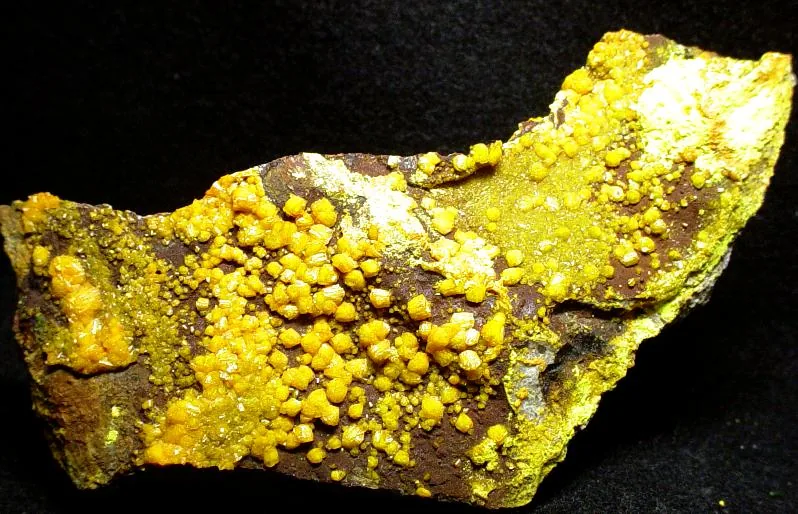
- Gold deposits are found in the surrounding area, often mined on a small scale.
- The region receives between 1,600 and 2,000 mm of rainfall annually.
- Pana is connected to the provincial capital Koulamoutou via the R15 national road.
- The local population predominantly belongs to the Nzebi and Awandji language groups.
Explore nearby
Notable places around
Route planner — Car & Motorhome
Where do you start? We build the route here, with stops and country notes along the way.
© OpenStreetMap contributors · OpenRouteService
Frequently asked questions
What characterizes Pana?
Is Pana developed for tourists?
How do you get there?
Is there electricity there?
What is the main activity of the residents?
Pana: where is it located?
Pana: when is the best time to visit?
Pana: why is it worth visiting?

Nearby cities
More places