Plizio Visual Lab
Mount Tohivea
Weather…
Water temperature…
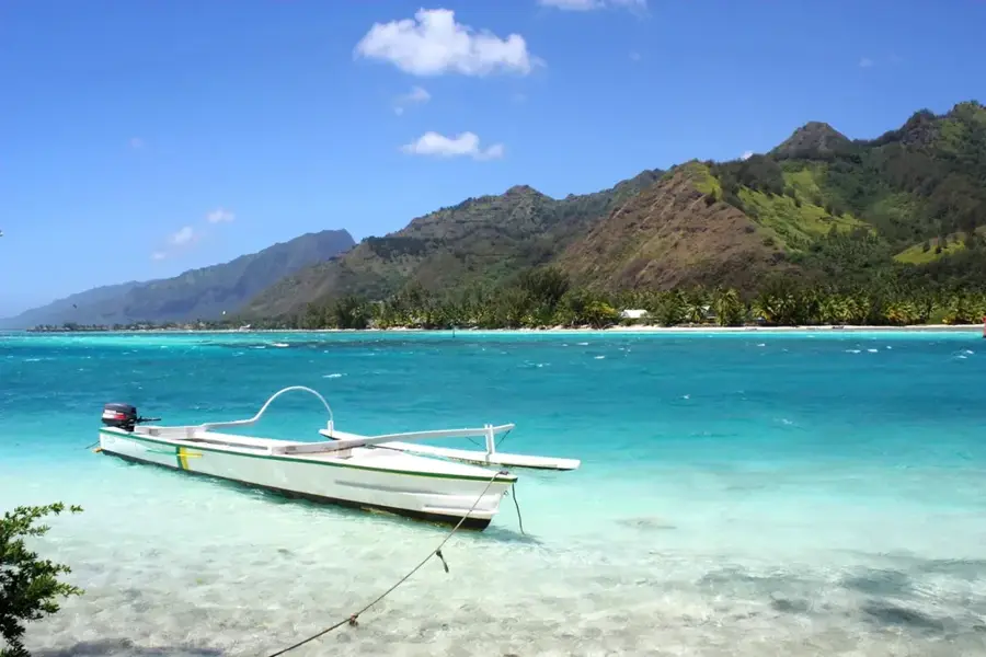
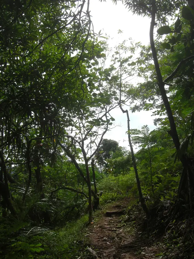
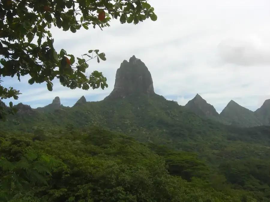
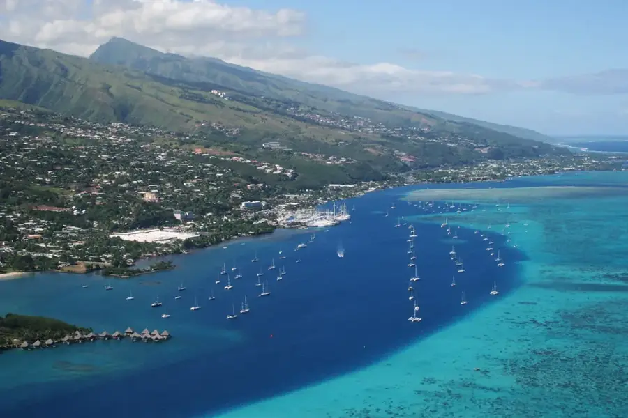
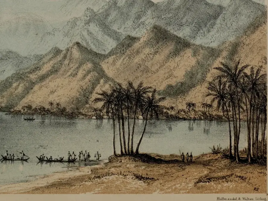
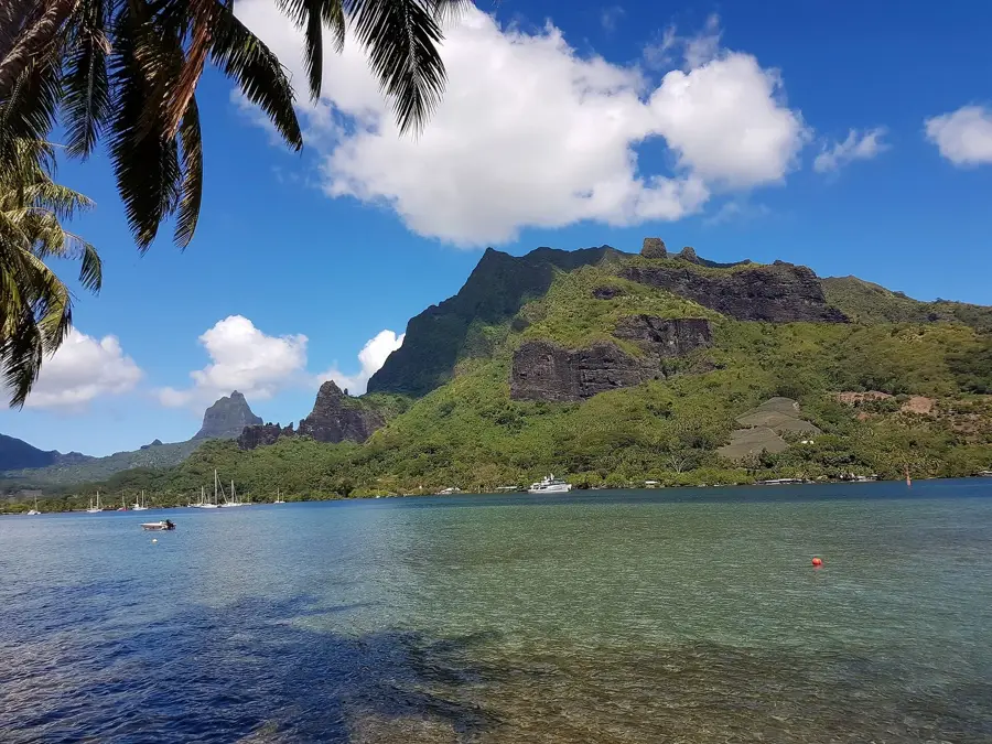
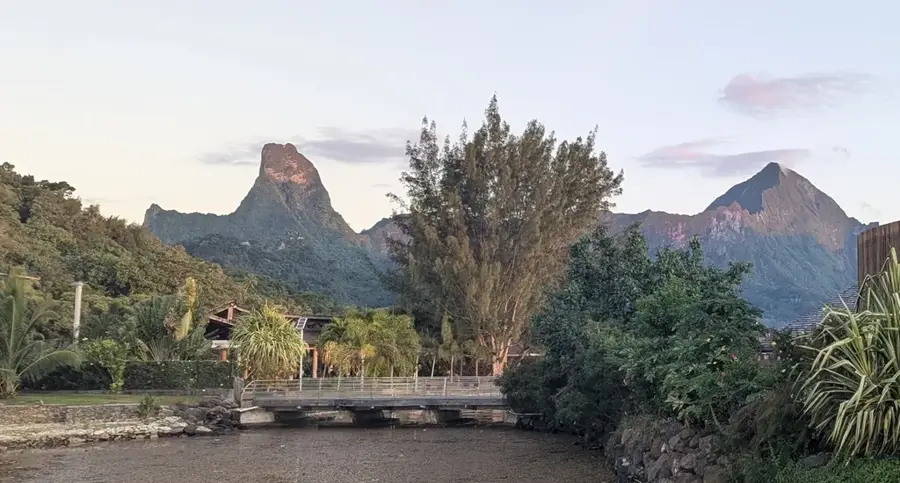
Mount Tohivea stands as the majestic sovereign of Moorea, marking the island's highest elevation at 1,207 meters. This towering volcanic peak is a remnant of the ancient crater rim that once formed the heart of the island. Its jagged, green-clad ridges create a dramatic silhouette that is visible from across the sea on Tahiti. The summit is frequently shrouded in a mystical veil of clouds, which sustain the lush cloud forest thriving on its upper reaches. While the very peak is accessible only to seasoned climbers due to its sheer, unstable rock faces, the surrounding slopes offer numerous hiking trails that reward adventurers with staggering views of the twin bays, Cook's and Opunohu. The mountain's geography is central to Moorea's unique microclimate, catching the moisture-laden winds to feed the emerald valleys below. Mount Tohivea is not just a geological landmark; it is a symbol of the raw, untamed beauty of French Polynesia, standing as a silent sentinel over the turquoise lagoons and tropical forests.
- Location: French Polynesia
- Top sights: Street Art · Église évangélique de Pentecôte · Église de J-C des St des derniers jours
- Nearby: Afareaitu (5 km)
Best time to visit & climate
The most pleasant time to visit is Jul–Sep.
| Jan | Feb | Mar | Apr | May | Jun | Jul | Aug | Sep | Oct | Nov | Dec | |
|---|---|---|---|---|---|---|---|---|---|---|---|---|
| Avg °C | 28 | 28 | 28 | 28 | 27 | 27 | 26 | 26 | 26 | 26 | 27 | 27 |
| Rain mm | 185 | 171 | 130 | 115 | 88 | 68 | 52 | 48 | 39 | 82 | 114 | 218 |
📋 Practical info
Geography
Facts
- Elevation: 1,207 m (3,960 ft)
- Location: Moorea
- Crater diameter: 3 km (1.86 mi)
- Volcano type: shield volcano
- First ascent: 1770
- Name meaning: peak
Explore nearby
Notable places around
Route planner — Car & Motorhome
Where do you start? We build the route here, with stops and country notes along the way.
© OpenStreetMap contributors · OpenRouteService
Sights in the town Mount Tohivea (10)
Église Saint-Joseph
Catholic church dedicated to Saint Joseph, a place for prayer.
Cook Bay
Bay in France, a sea inlet on the north coast of Moorea.
Panorama de Pao Pao
Viewpoint overlooking the bay and the surrounding mountains.
Pineapple field
Pineapple field, agricultural land used for growing tropical fruit.
Mt Rotu'i
Mountain, a peak on the island of Moorea in French Polynesia.
Three Pine Trees Lookout
Lookout point with three pine trees, offering a wide view of the landscape.
Sights nearby
Frequently asked questions
Is Mount Tohivea easily accessible?
What are the physical requirements?
Is it a protected area?
Can you visit the area without a guide?
What is nearby?
Mount Tohivea: where is it located?
Mount Tohivea: what is there to see?
Mount Tohivea: when is the best time to visit?
Mount Tohivea: why is it worth visiting?

Nearby cities


History & landmarks
Nature
More places