Plizio Visual Lab
Valensole Plateau
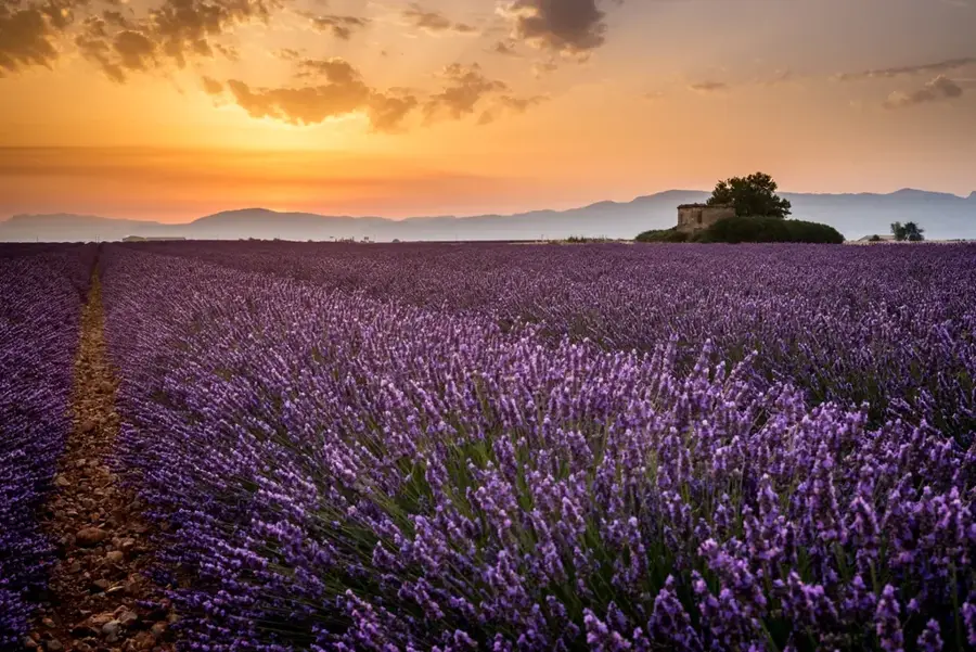
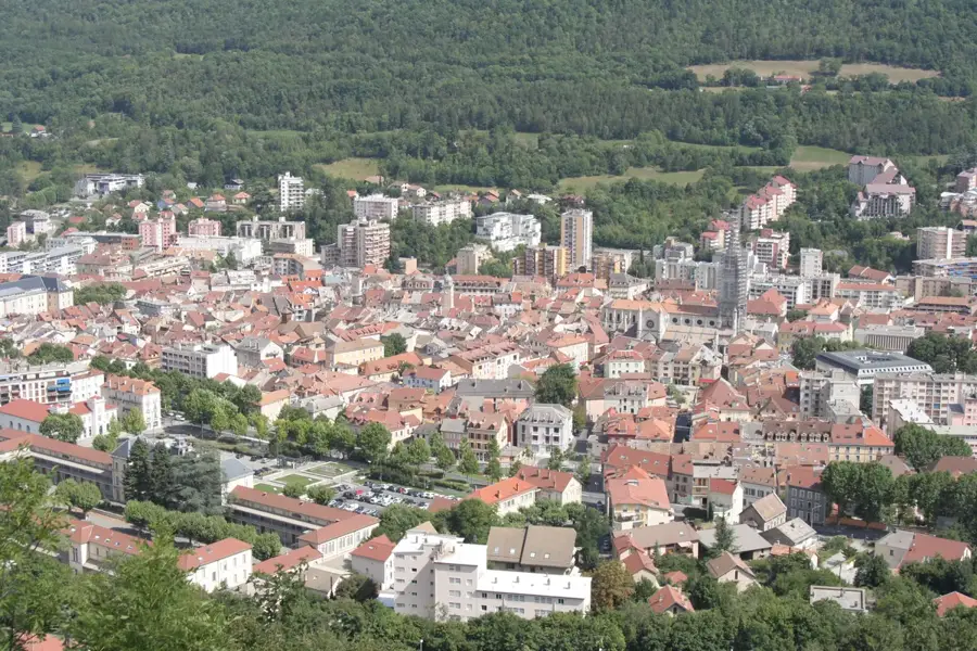
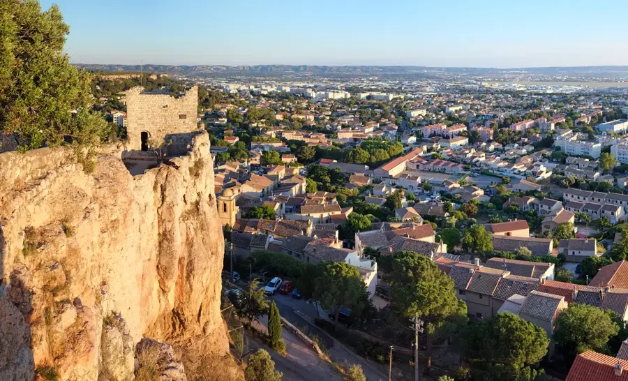
The Valensole Plateau is an extensive upland in Provence, located in the Alpes-de-Haute-Provence department at an average elevation of 500 meters. Covering 800 square kilometers, it is world-renowned for its endless lavender fields, which coat the landscape in deep blue and purple hues during the blooming season from mid-June to mid-July. Geologically, the plateau is composed of quaternary gravel deposits from Alpine erosion, providing excellent soil conditions for cultivating lavender and lavandin. Beyond lavender, the region is a significant hub for honey and almond production. Historically, the plateau was a sparsely populated grazing area until systematic agriculture took hold in the 19th century. It is now part of the Verdon Regional Natural Park and has expansive views of the surrounding mountain ranges. The geometric patterns of the fields and the traditional dry-stone huts (bories) contribute to the region's unique cultural and aesthetic identity.
- Location: Provence-Alpes-Côte d'Azur, France
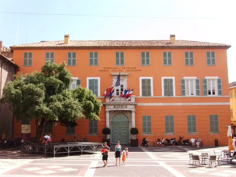
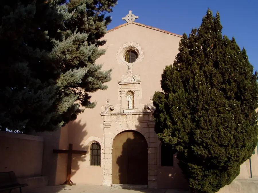
- Top sights: Château du Grand Jardin · Lavandes Angelvin · Photo de lumière de Lavande
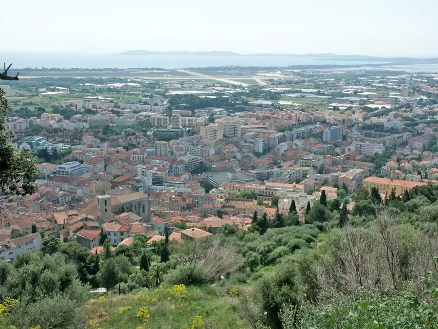
- Nearby: Oraison (11 km)
Best time to visit & climate
The most pleasant time to visit is Jun–Aug.
| Jan | Feb | Mar | Apr | May | Jun | Jul | Aug | Sep | Oct | Nov | Dec | |
|---|---|---|---|---|---|---|---|---|---|---|---|---|
| Avg °C | 1 | 2 | 5 | 9 | 13 | 18 | 21 | 21 | 16 | 11 | 6 | 2 |
| Rain mm | 49 | 45 | 52 | 56 | 66 | 44 | 25 | 31 | 53 | 84 | 102 | 69 |
📋 Practical info
Geography
Facts
- The plateau spans approximately 800 square kilometers.
- Peak blooming season is from mid-June to mid-July.
- The average elevation of the plateau is 500 meters.
- The name Valensole means 'Valley of the Sun.'
- The region provides 80% of French lavender production.
- Traditional stone huts called 'bories' dot the landscape.
Explore nearby
Notable places around
Route planner — Car & Motorhome
Where do you start? We build the route here, with stops and country notes along the way.
© OpenStreetMap contributors · OpenRouteService
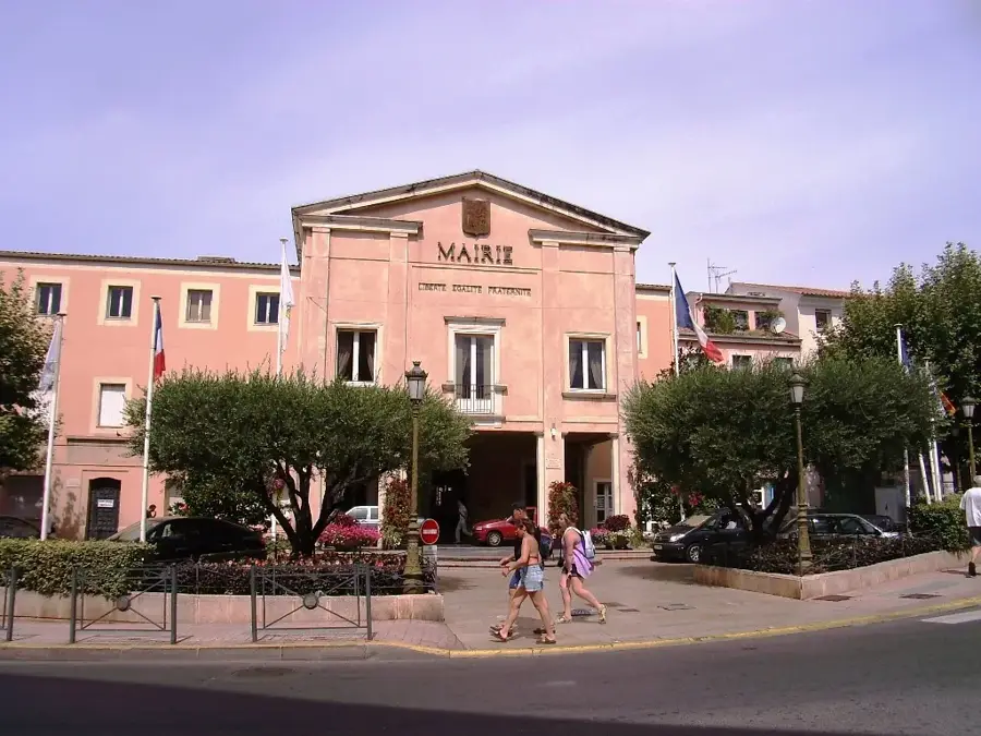
Sights in the town Valensole Plateau (6)
Sights nearby
Frequently asked questions
When does the lavender bloom on the Valensole plateau?
Where are the best spots for photography?
Can you buy local products on-site?
How crowded is it during the blooming season?
Is there anything else to see besides lavender?
Valensole Plateau: where is it located?
Valensole Plateau: what is there to see?
Valensole Plateau: when is the best time to visit?
Valensole Plateau: why is it worth visiting?

Nearby cities