Plizio Visual Lab
Port-Cros National Park
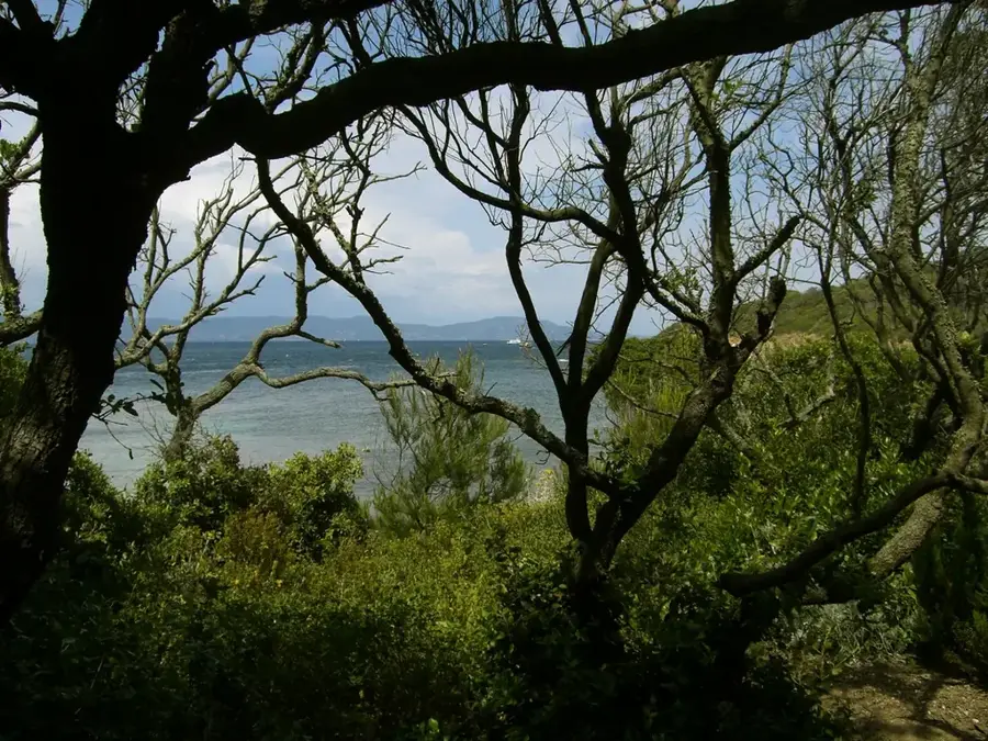
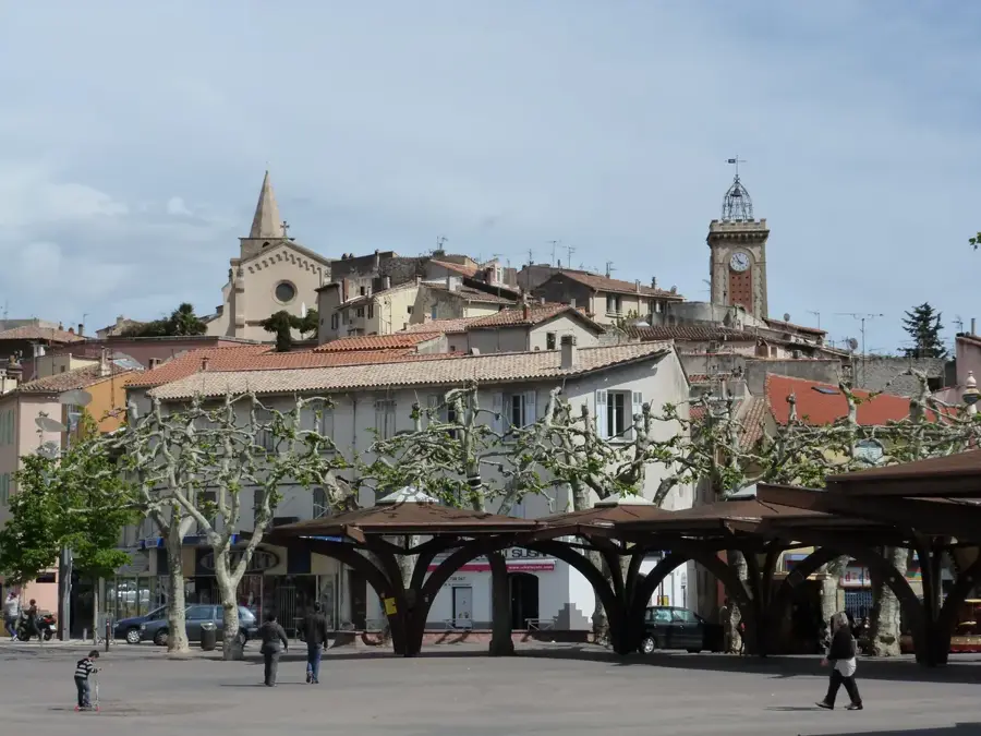
Port-Cros National Park, established on December 14, 1963, is the oldest marine park in Europe and covers a significant portion of the Hyères Islands in the Mediterranean Sea. Located off the coast of the Var department, the park encompasses the island of Port-Cros and the neighboring islands of Bagaud, Gabinière, and Rascas, along with a maritime belt of 600 meters. The terrestrial area is dominated by dense Mediterranean maquis and forests of Aleppo pine and holm oak, while the underwater territory protects extensive Posidonia oceanica meadows. Historically, the island served as a defensive outpost, evidenced by the presence of several forts like Fort de l'Estissac, built under Cardinal Richelieu in the 17th century. Today, the park is a vital sanctuary for biodiversity, hosting over 180 species of birds and a rich variety of marine life including groupers and sunfish. Visitors are strictly regulated to preserve the fragile ecosystem, with activities limited to hiking on designated trails and snorkeling in specific underwater paths.
- Location: Provence-Alpes-Côte d'Azur, France
- Top sights: Fort de l'Estissac · Fort du Moulin · Fort de l'Eminence
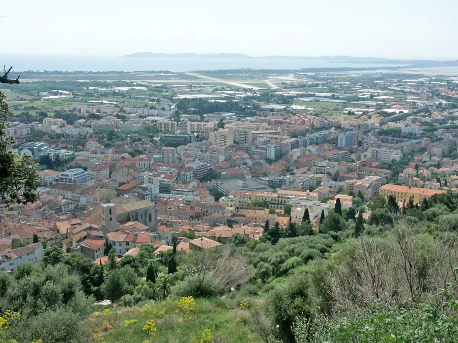
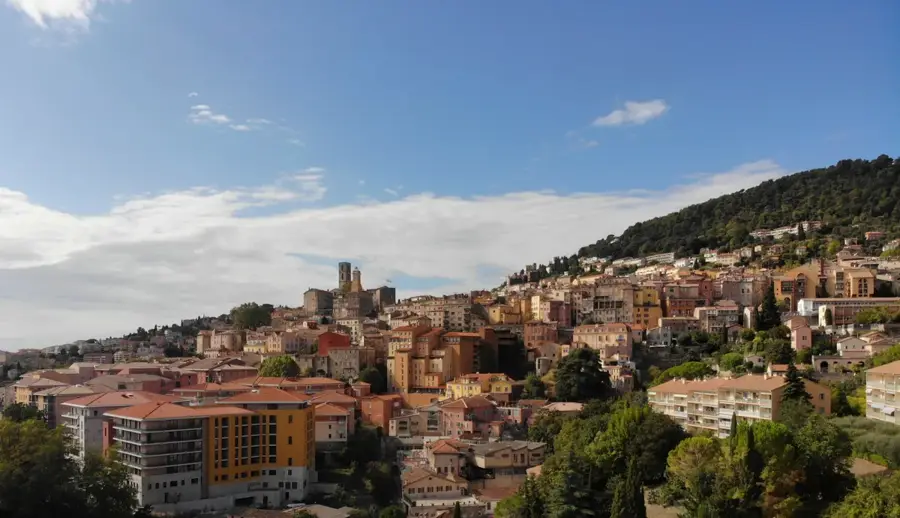
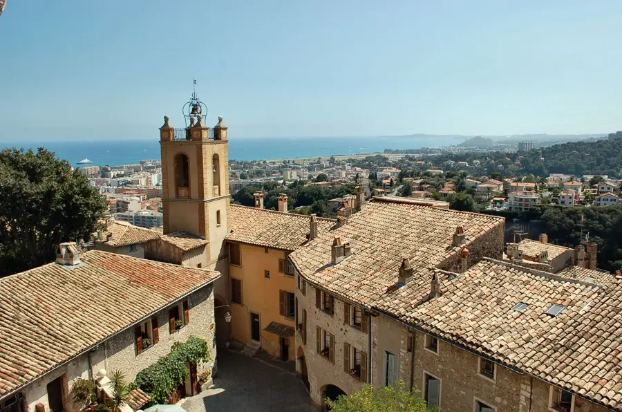
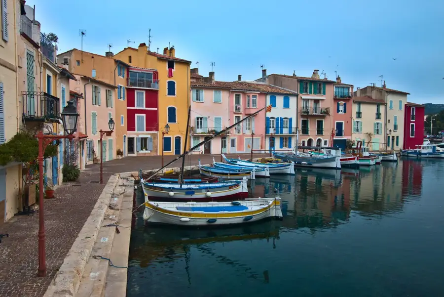
- Nearby: Île de Porquerolles (13 km)
Best time to visit & climate
The most pleasant time to visit is Jun, Jul, Sep.
| Jan | Feb | Mar | Apr | May | Jun | Jul | Aug | Sep | Oct | Nov | Dec | |
|---|---|---|---|---|---|---|---|---|---|---|---|---|
| Avg °C | 10 | 10 | 12 | 14 | 17 | 22 | 24 | 24 | 21 | 18 | 14 | 11 |
| Rain mm | 57 | 48 | 51 | 46 | 43 | 21 | 9 | 15 | 45 | 85 | 105 | 71 |
📋 Practical info
Geography
Facts
- The national park was officially established on December 14, 1963.
- It is recognized as the first marine national park in Europe.
- The protected maritime zone extends 600 meters from the coastline.
- Fort de l'Estissac was constructed between the years 1634 and 1640.
- Motorized vehicles are completely prohibited on the island of Port-Cros.
- The park territory provides habitat for more than 180 bird species.
Explore nearby
Notable places around
Route planner — Car & Motorhome
Where do you start? We build the route here, with stops and country notes along the way.
© OpenStreetMap contributors · OpenRouteService
Sights in the town Port-Cros National Park (8)
Sights nearby
Frequently asked questions
Can you drive cars on Port-Cros?
Is there drinking water on the island?
Is smoking allowed in the national park?
Can you snorkel on Port-Cros?
How do I get to the island?
Port-Cros National Park: where is it located?
Port-Cros National Park: what is there to see?
Port-Cros National Park: when is the best time to visit?
Port-Cros National Park: why is it worth visiting?

Nearby cities