Plizio Visual Lab
Aiguilles d'Arves
Weather…
Water temperature…
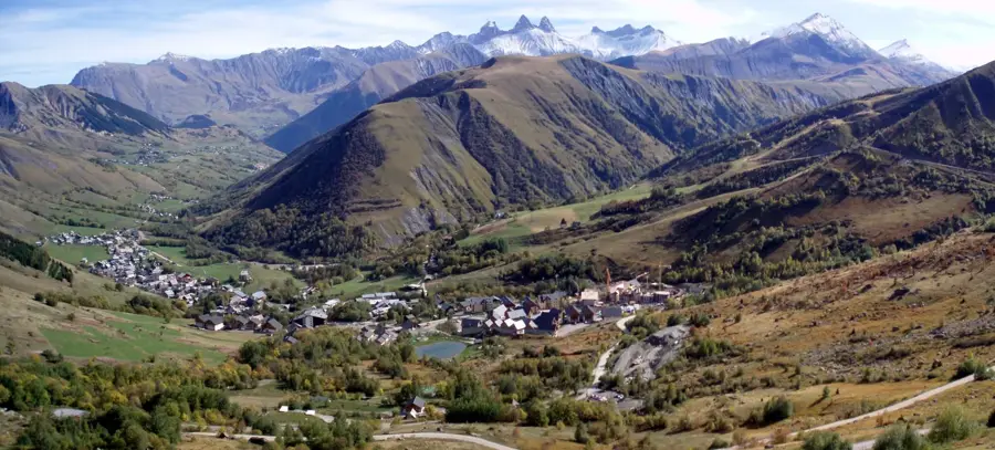
The Aiguilles d'Arves are a striking trio of mountain peaks in the French Alps, located in the Savoie department within the Maurienne region. The group consists of the Aiguille Méridionale (3,514 m), the Aiguille Centrale (3,513 m), and the Aiguille Septentrionale (3,364 m), the latter of which is commonly referred to as the 'Cat's Head' due to its silhouette. Geologically, these peaks are unique for being composed of flysch, a sedimentary rock sequence that has formed steep, needle-like spires despite its susceptibility to erosion. The first successful ascent of the highest peak, the Aiguille Méridionale, was made in 1878 by the legendary mountaineer Christian Almer and his son. The distinct profile of the Aiguilles d'Arves is a landmark of the Arves Massif and is visible from many parts of the region. For climbers, the needles offer technical routes in a pristine high-alpine environment. The lower slopes are home to traditional alpine pastures, which contrast beautifully with the jagged rock formations above.
- Location: Provence-Alpes-Côte d'Azur, France
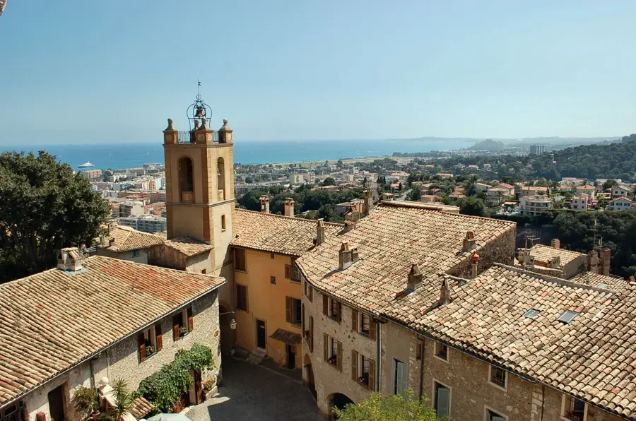
- Top sights: AIguille Occidentale de la Saussaz · Aiguille Méridionale d'Arves · Pointe Salvador
- Nearby: Valloire (11 km)
Best time to visit & climate
The most pleasant time to visit is Jun–Aug.
| Jan | Feb | Mar | Apr | May | Jun | Jul | Aug | Sep | Oct | Nov | Dec | |
|---|---|---|---|---|---|---|---|---|---|---|---|---|
| Avg °C | -7 | -7 | -3 | 2 | 6 | 11 | 13 | 12 | 9 | 5 | -1 | -6 |
| Rain mm | 69 | 54 | 67 | 61 | 90 | 71 | 58 | 59 | 59 | 75 | 89 | 79 |
📋 Practical info
Geography
Facts
- The highest peak reaches an elevation of 3,514 meters.
- The group is composed of three distinct main needles.
- The first ascent of the southern needle was in 1878.
- The peaks are geologically composed of Eocene flysch.
- The northern peak is nicknamed the 'Cat's Head'.
- They are the highest points of the Arves Massif.
Explore nearby
Notable places around
Route planner — Car & Motorhome
Where do you start? We build the route here, with stops and country notes along the way.
© OpenStreetMap contributors · OpenRouteService
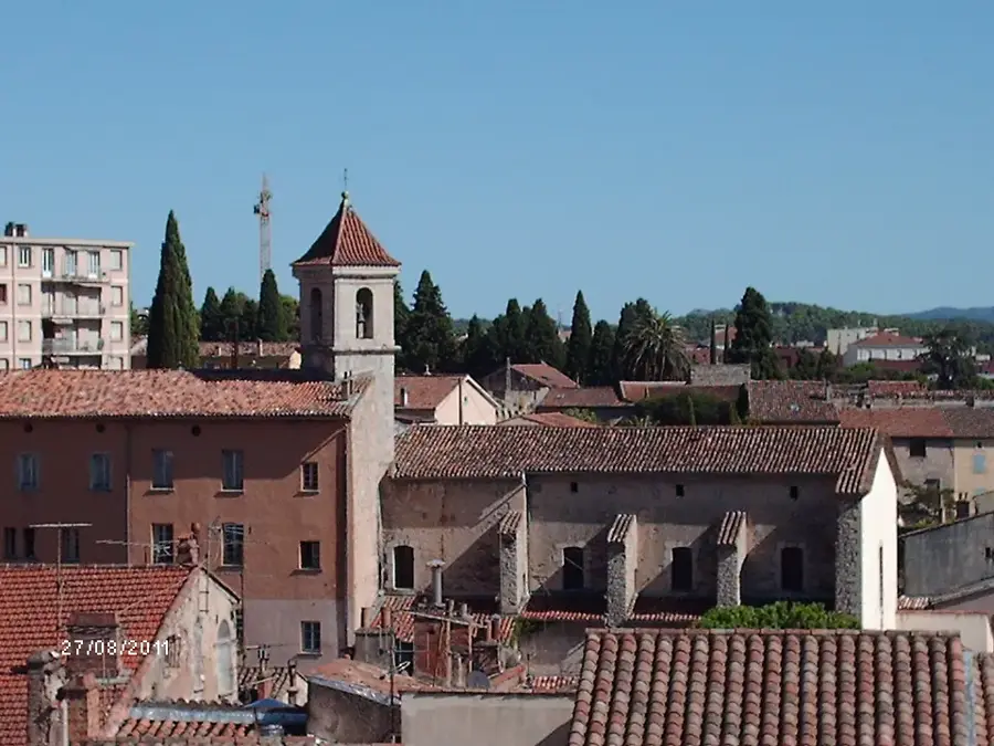
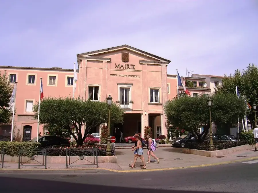
Sights in the town Aiguilles d'Arves (3)
Sights nearby
Frequently asked questions
Where are the Aiguilles d'Arves located?
How many peaks are there?
Is the ascent possible for hikers?
When is the best time for photos?
Is there a legend about the peaks?
Aiguilles d'Arves: where is it located?
Aiguilles d'Arves: what is there to see?
Aiguilles d'Arves: when is the best time to visit?
Aiguilles d'Arves: why is it worth visiting?

Nearby cities