Plizio Visual Lab

Les Ponts-de-Cé

Plizio editorial teamData Sources
City
—°455
Les Ponts-de-Cé (France)
ℹ️

Practical info — Les Ponts-de-Cé

🌤 Weather — 5 days

📍 Nearby

Sights nearby

💡 Tips

  • The town stretches across several islands on the Loire; expect beautiful scenery but slightly narrow bridge crossings.
  • It is a fantastic starting point for the "La Loire à Vélo" cycling route, rent a bike locally to explore the valley.
  • Check the local agenda for the "Baillée des Filles", a historic medieval festival held every May.
  • Be very aware of the strong river currents if you decide to go canoeing or kayaking.

🍽 Food

🍽
Friture de la Loire

Small fried river fish; best enjoyed at a riverside "guinguette" (open-air tavern) on a warm summer evening.

🍽
Quernons d'Ardoise

These blue, square chocolates filled with nougatine are a regional specialty, find them in local confectioneries.

🍽
Anjou Wines

Pair your local meals perfectly with a refreshing dry white Anjou or a local rosé.

🛍 Shopping · 🧘 Quiet spots

🛍
Sunday Morning Market

Held near the town center, it's a spirited spot to pick up regional cheeses and fresh Loire valley produce.

🛍
Local Arts and Crafts

Look for small artisanal studios along the river offering unique regional crafts.

🧘
Château des Ponts-de-Cé Gardens

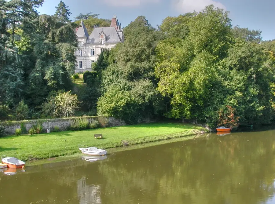
The grounds around the medieval keep offer a quiet, historic atmosphere right on the water.

🧘
Towpaths along the Loire

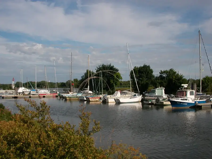
The historic towpaths along the riverbanks are excellent for a peaceful sunrise or sunset stroll.

Highlights of 2026

4

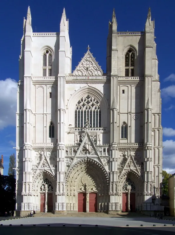
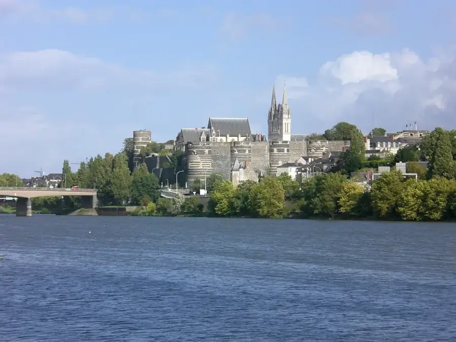
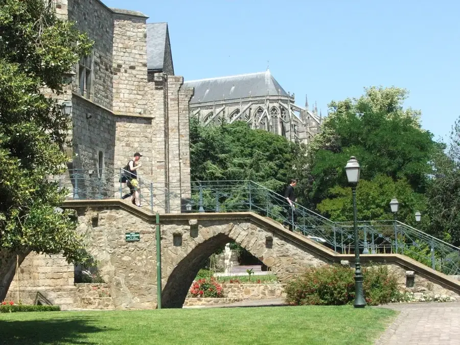
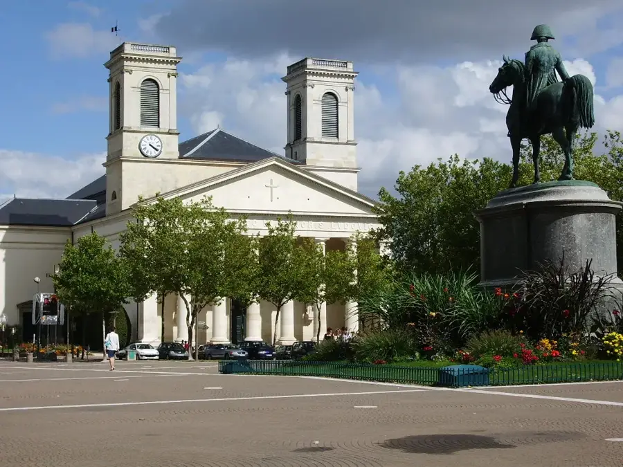
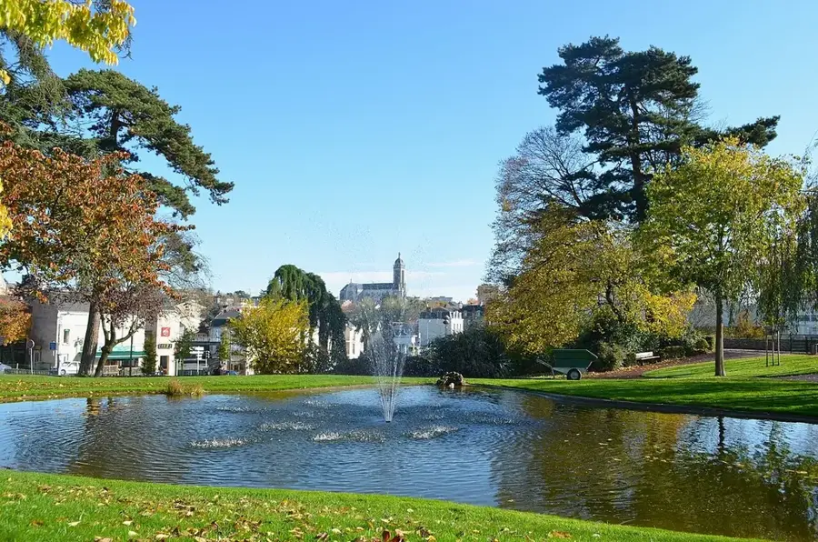
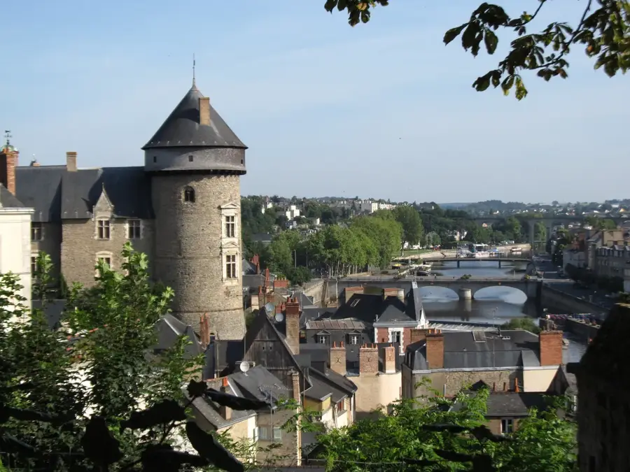
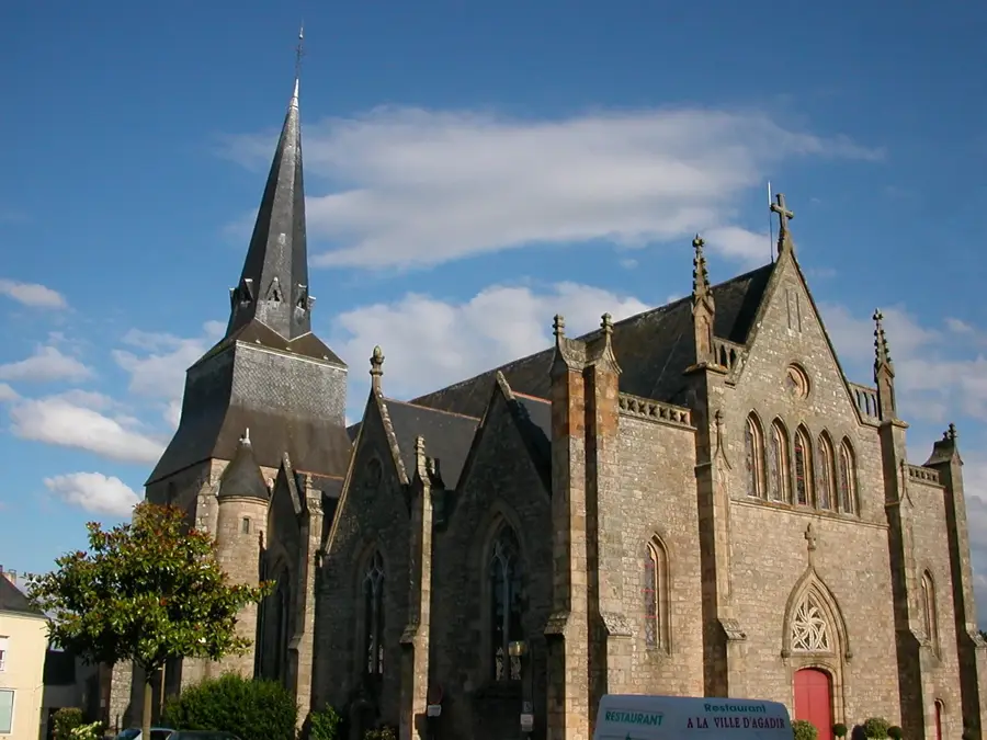
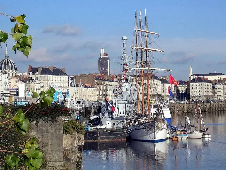
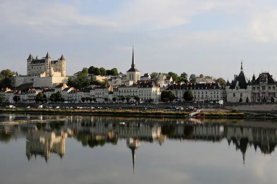
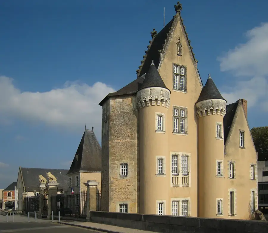
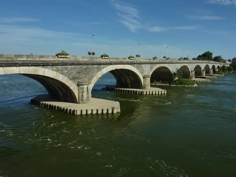
Les Ponts-de-Cé is a historic gateway to the Loire Valley, situated just south of Angers. Its very name, meaning 'The Bridges of Cé', highlights its functional and strategic role as a multi-stage crossing of France's longest river. Since the Gallo-Roman era, this site has been vital for military and commercial movement across the Loire. The skyline is dominated by the medieval Château des Ponts-de-Cé, built in the 15th century by King René of Anjou to secure the river crossing. The town gained historical notoriety in 1620 as the site of a decisive battle between King Louis XIII and his mother, Marie de' Medici. Today, the city is a key part of the Angers urban area, offering a high quality of life within a UNESCO World Heritage setting. The surrounding wetlands of the Authion valley provide a rich habitat for biodiversity, while the riverfront is a hub for leisure activities, including river cruises and cycling. It remains a bustling community that celebrates its heritage while looking towards a sustainable future.

Best time to visit & climate

The most pleasant time to visit is Jun–Aug.

JanFebMarAprMayJunJulAugSepOctNovDec
Avg °C5581114182019161385
Rain mm695361486455495043747376

Geography

Population
12,915
Coordinates
47.42440, -0.52530

Facts

  • The total area of the municipality is 19.55 square kilometers
  • The series of bridges crossing the Loire span over 1.5 kilometers
  • The castle now houses a museum dedicated to regional traditions and headdresses
  • The 1620 battle is often referred to as the 'Drôlerie of Ponts-de-Cé'
  • The town is located within the famous Anjou wine-producing region
  • There are several kilometers of scenic riverfront paths for pedestrians and cyclists

Explore nearby

Notable places around

Route planner — Car & Motorhome

Where do you start? We build the route here, with stops and country notes along the way.

Vehicle
Only stops with (optional):

© OpenStreetMap contributors · OpenRouteService

Sights in the town Les Ponts-de-Cé (5)

Château des Ponts-de-Cé🛡️ fortress

A 15th-century fortress and residence on the banks of the Loire, once hosting French kings like Louis XIII.

Saint-Aubin Church⛪ religious

A significant religious building with Romanesque and Gothic elements, reflecting the long history of the river crossing.

Dumnacus Bridge🏺 historical

A bridge named after a Gallic leader, offering panoramic views of the Loire and connecting the historic islands.

Saint-Maurice Church⛪ religious

An ancient church located in the historic center, known for its architectural details and calm atmosphere.

Baignade des Ponts de Cé👨‍👩‍👧 family

Baignade des Ponts de Cé is a water park in Les Ponts De Ce. It features various water-based activities for all ages.

Frequently asked questions

What does the name 'Les Ponts-de-Cé' mean?
The name refers to the historic series of bridges crossing the various branches of the Loire river.
Is there a castle to visit?
Yes, the Château des Ponts-de-Cé on the riverbank now houses a local history museum.
How close is the city to Angers?
It is located just south of Angers, only about 5 km away and well connected by buses.
Can you take walks along the Loire?
Yes, the riverside paths offer wonderful views of the river and protected natural areas.
Are there events on the river?
In summer, canoe trips and boat excursions are often offered on the Loire and the Louet rivers.
Les Ponts-de-Cé: where is it located?
Les Ponts-de-Cé is located in Pays de la Loire, France.
Les Ponts-de-Cé: what is there to see?
Highlights include Château des Ponts-de-Cé, Saint-Aubin Church, Dumnacus Bridge.
Les Ponts-de-Cé: when is the best time to visit?
The most pleasant time to visit is Jun, Aug.
Les Ponts-de-Cé: why is it worth visiting?
Les Ponts-de-Cé is a historic gateway to the Loire Valley, situated just south of Angers.
View on map → The Top 50 Attractions → Most beautiful beaches → OpenStreetMap →
Europe
Explore with Plizio Discover more places in Europe
More places in France →

Nearby cities